Only one race, but it was my dream race, and it was magical, and it was epic:
There’s no need to write more about that one in this space! 🙂
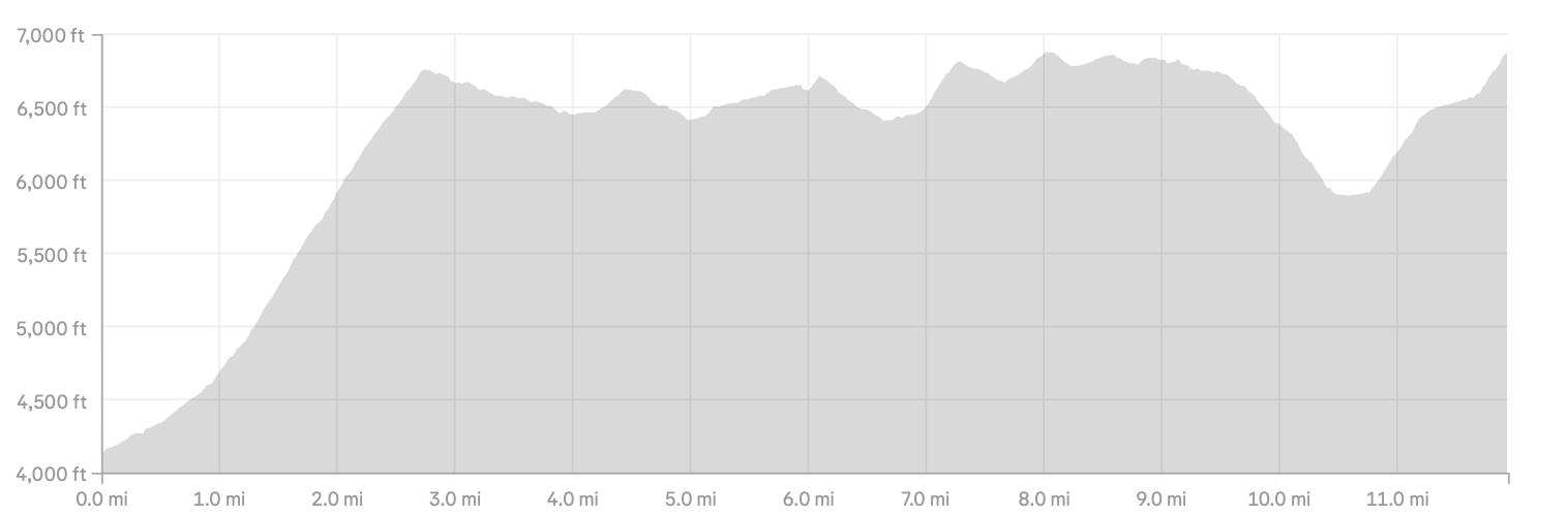
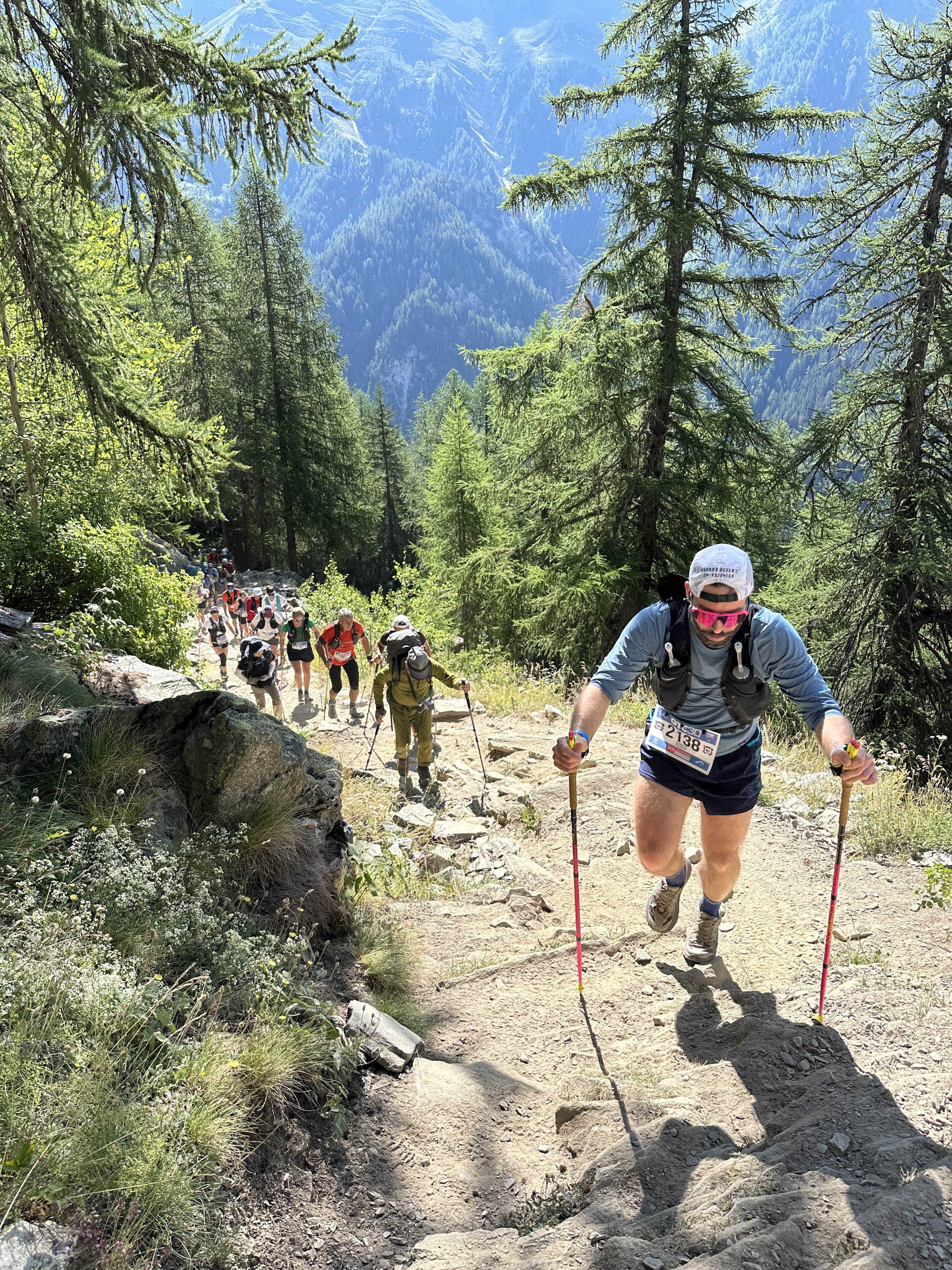
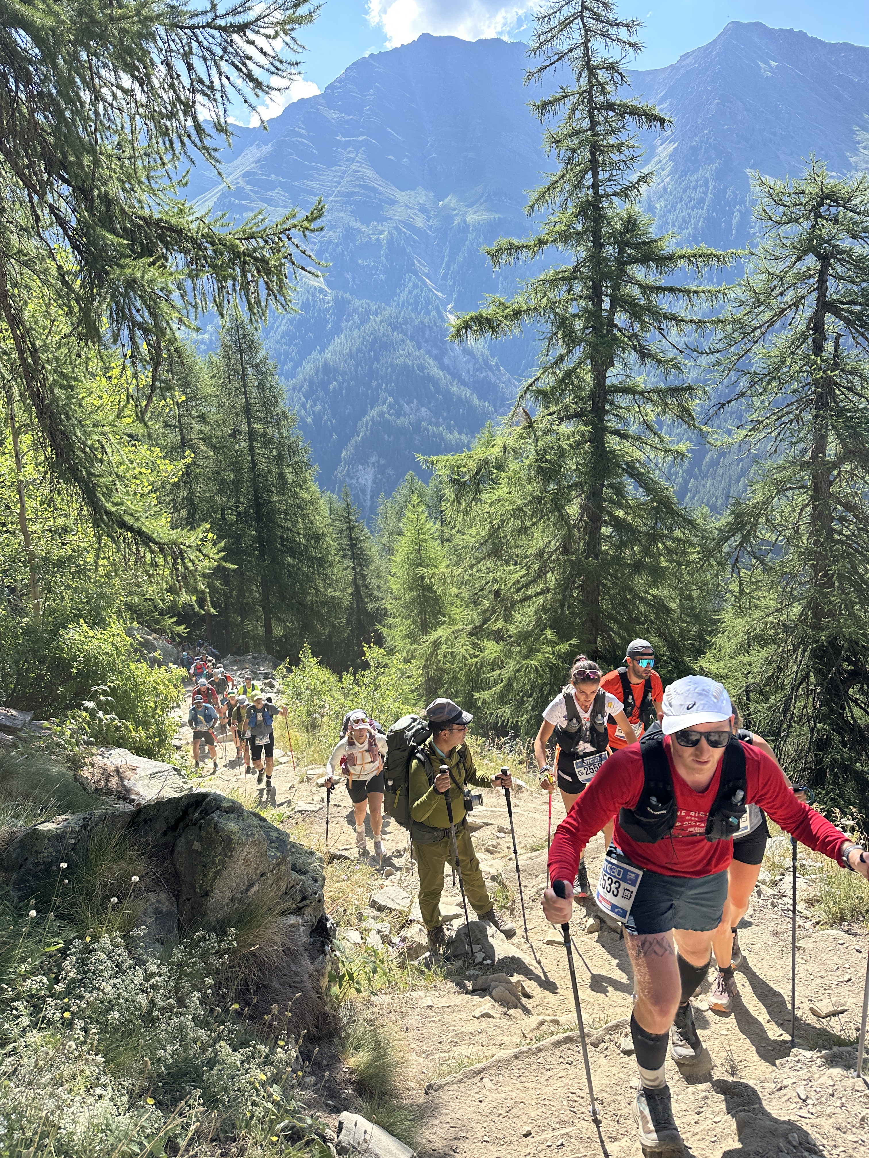
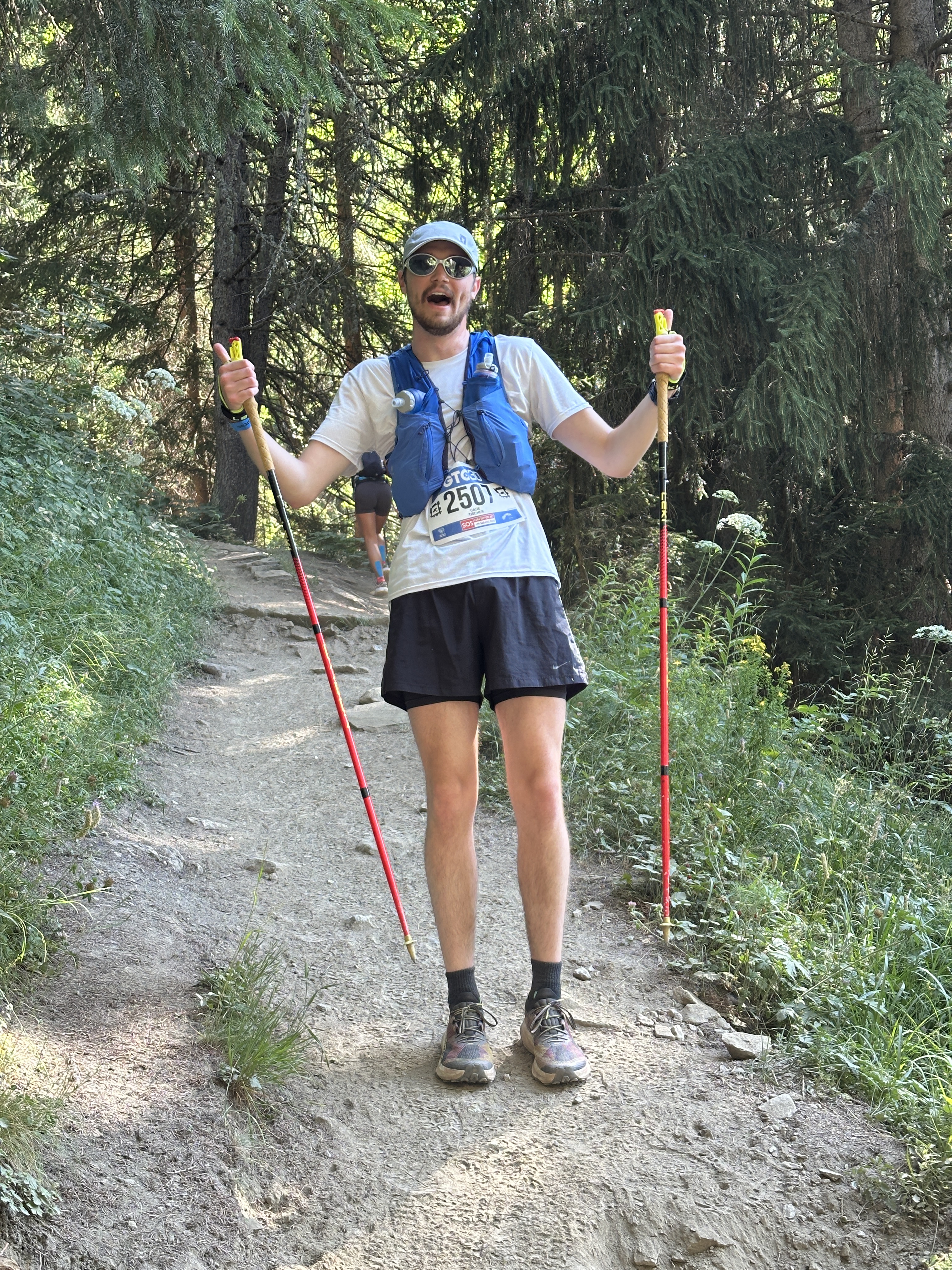
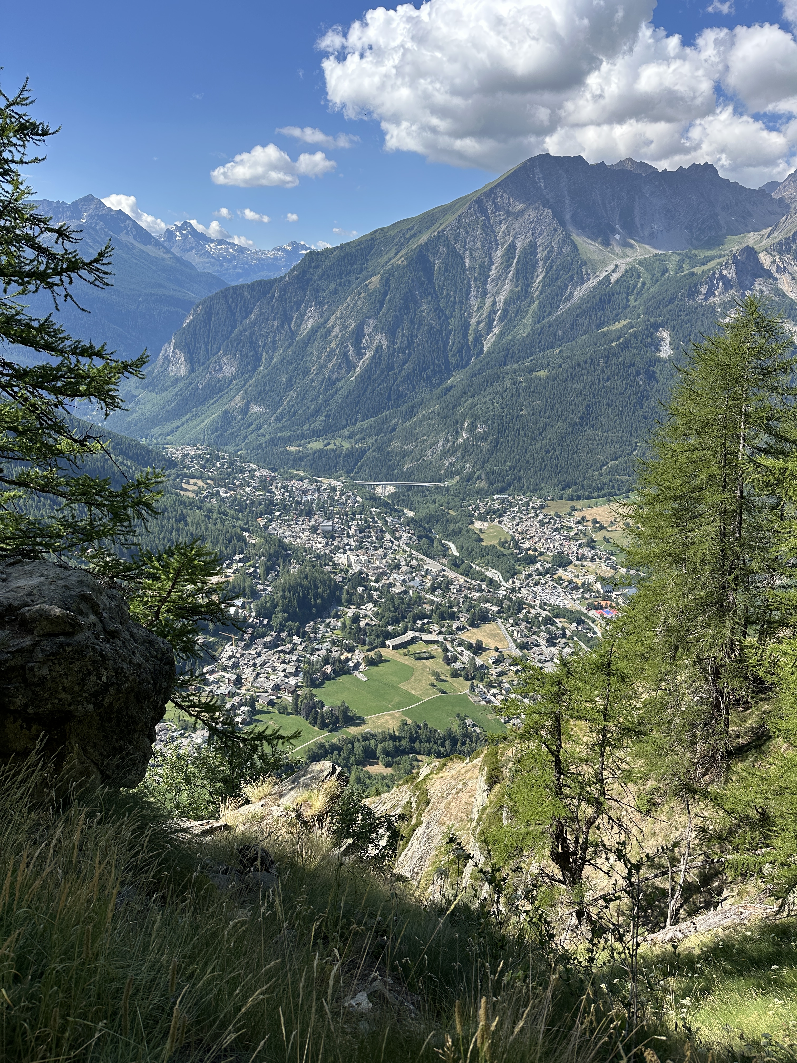
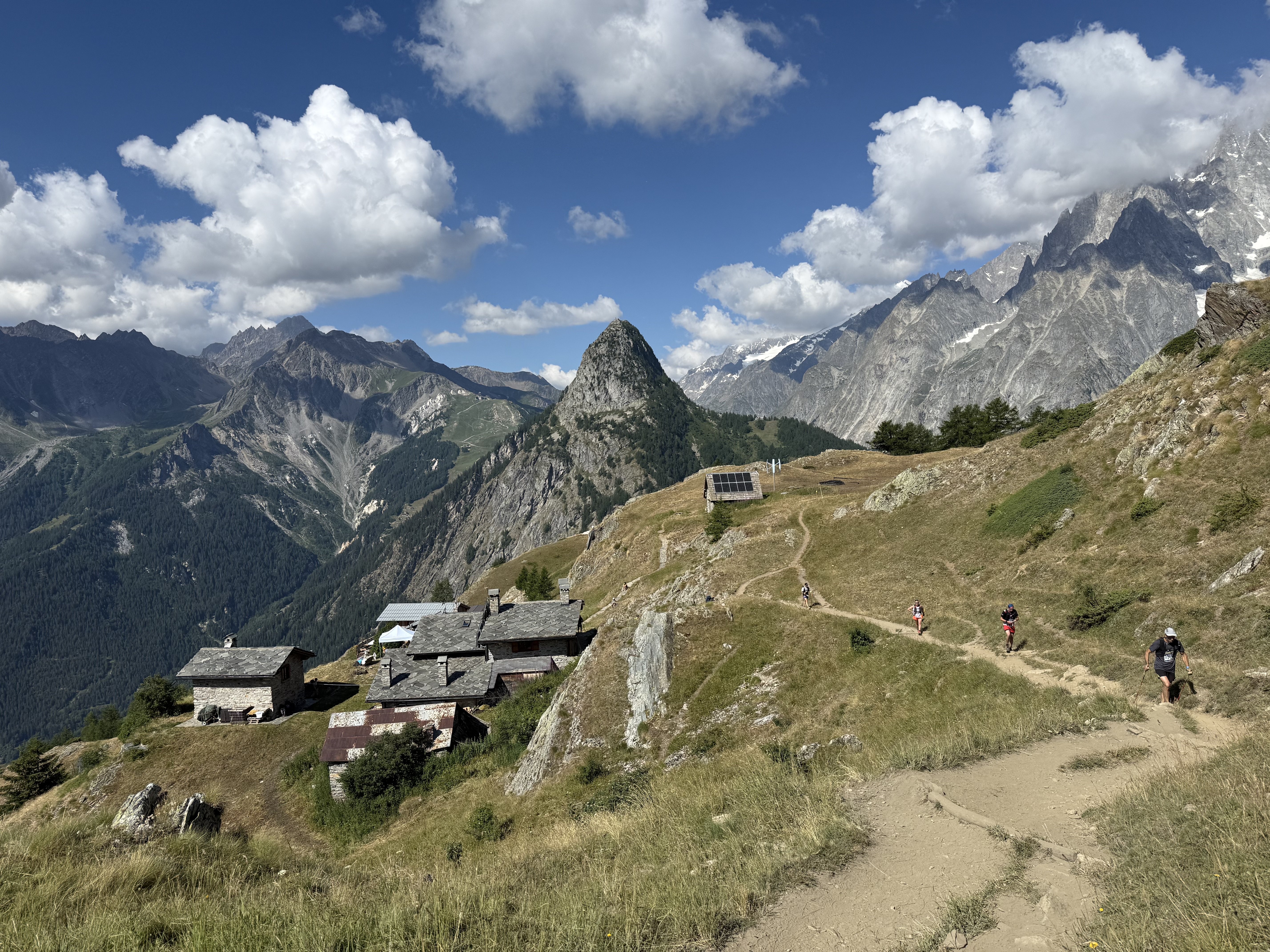
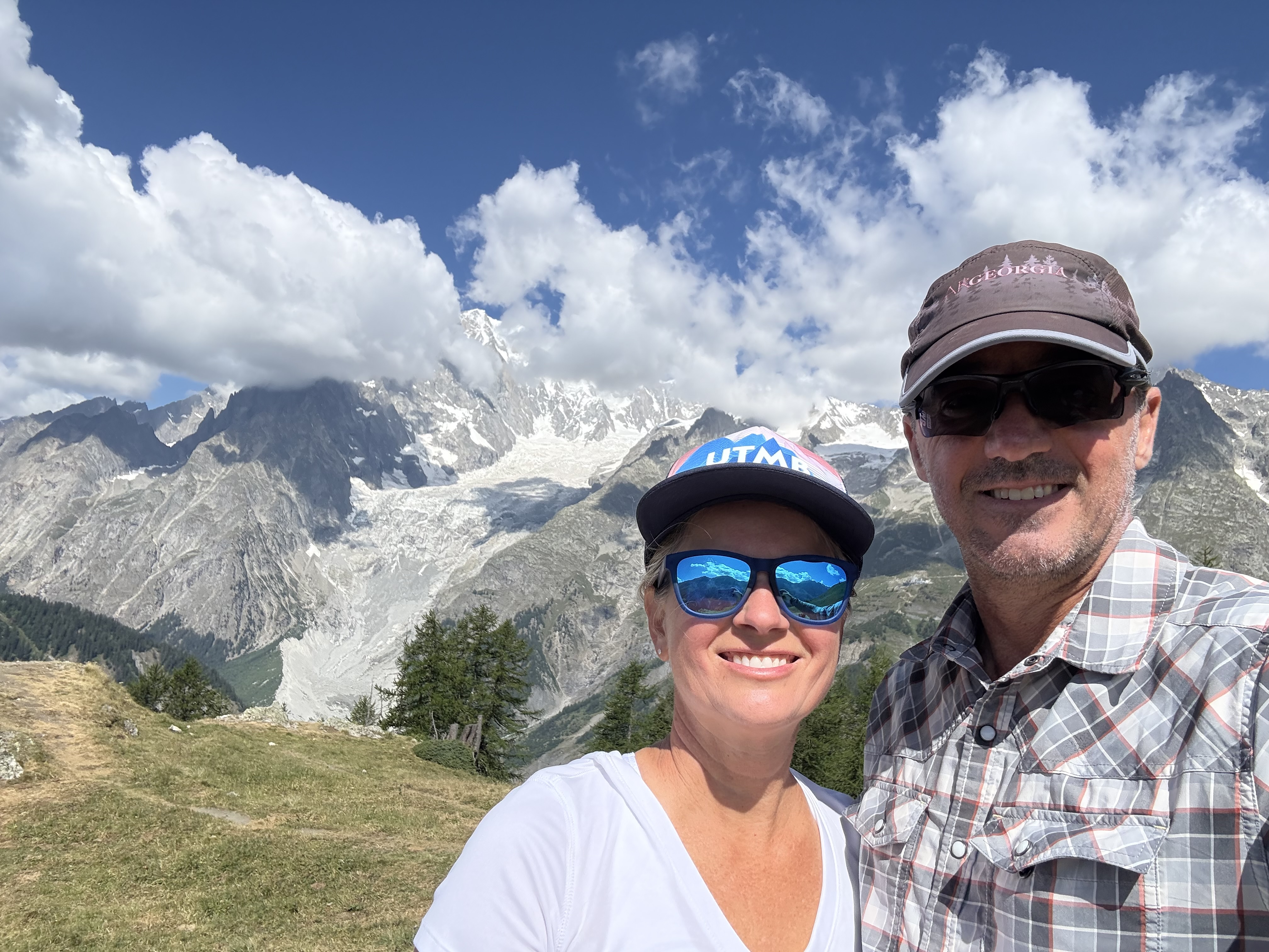
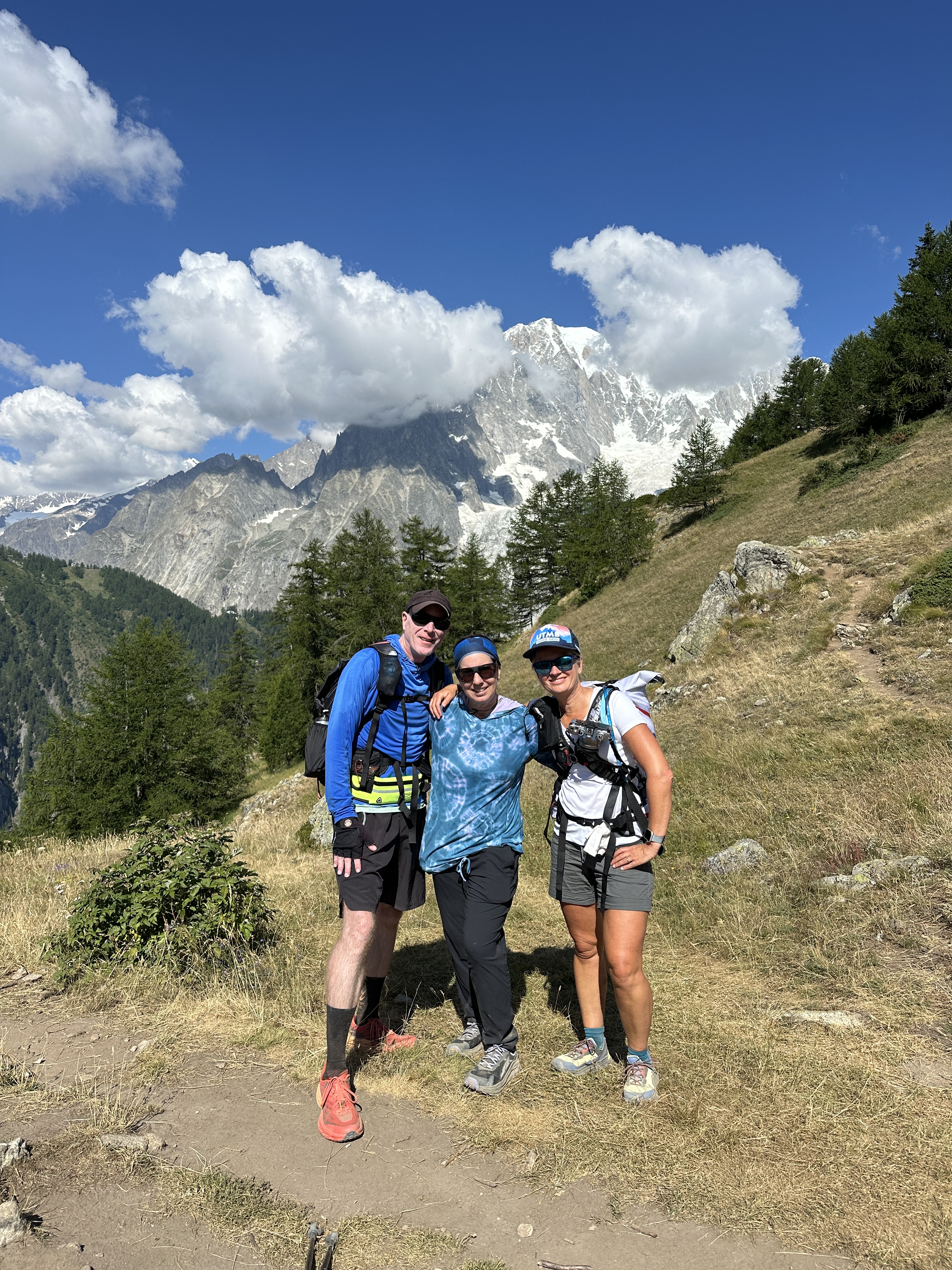
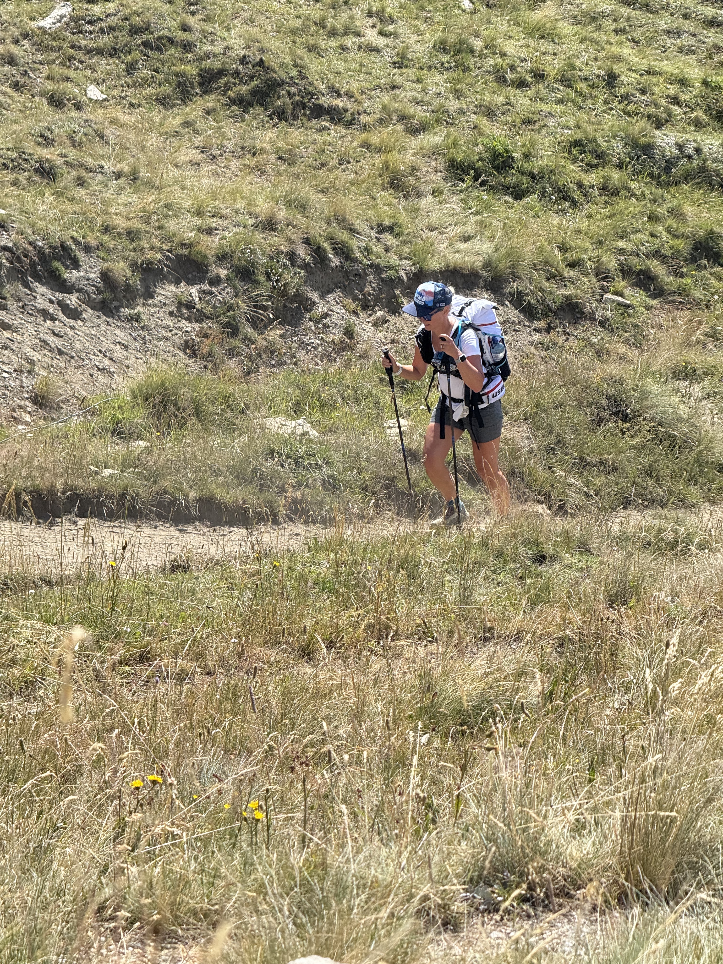
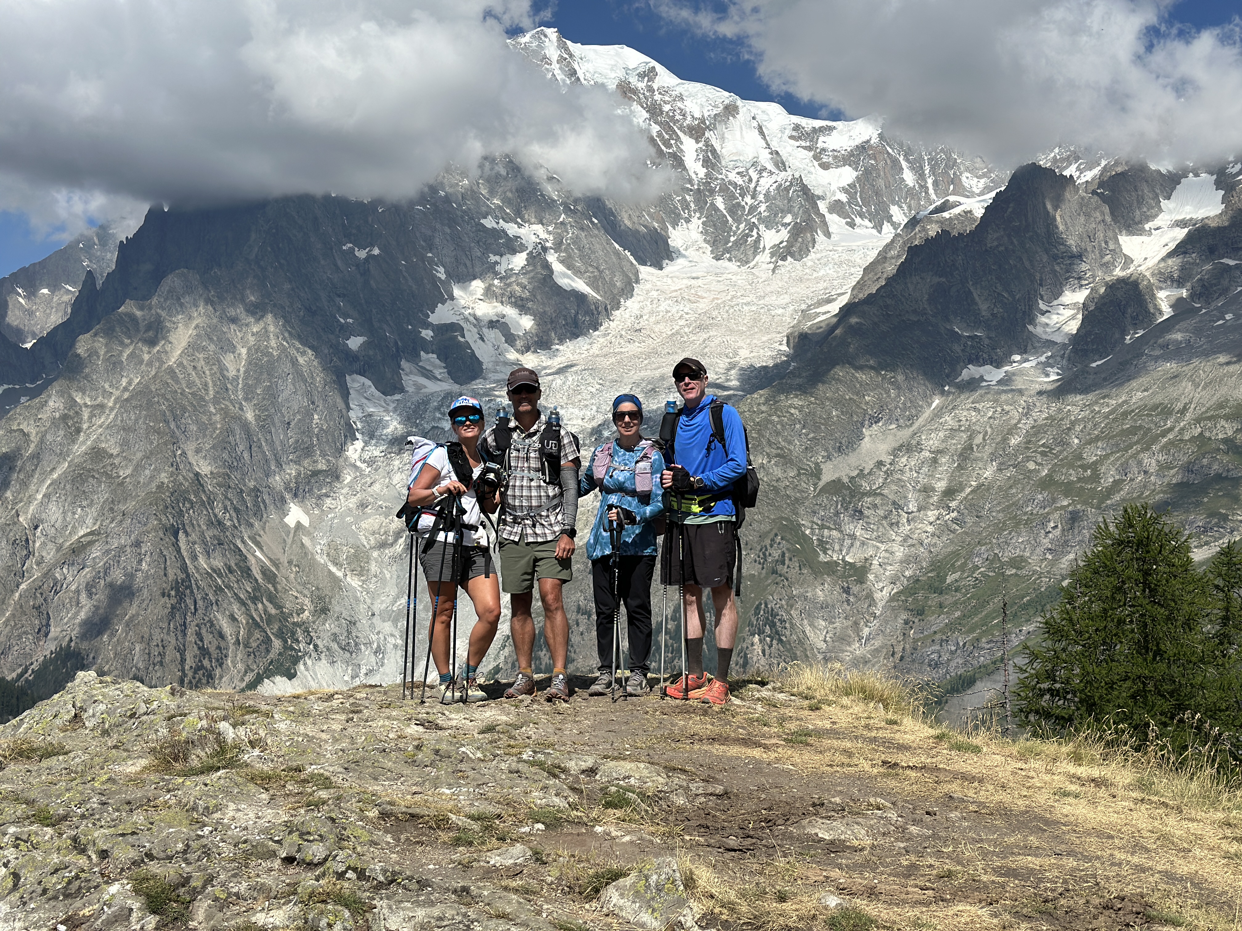
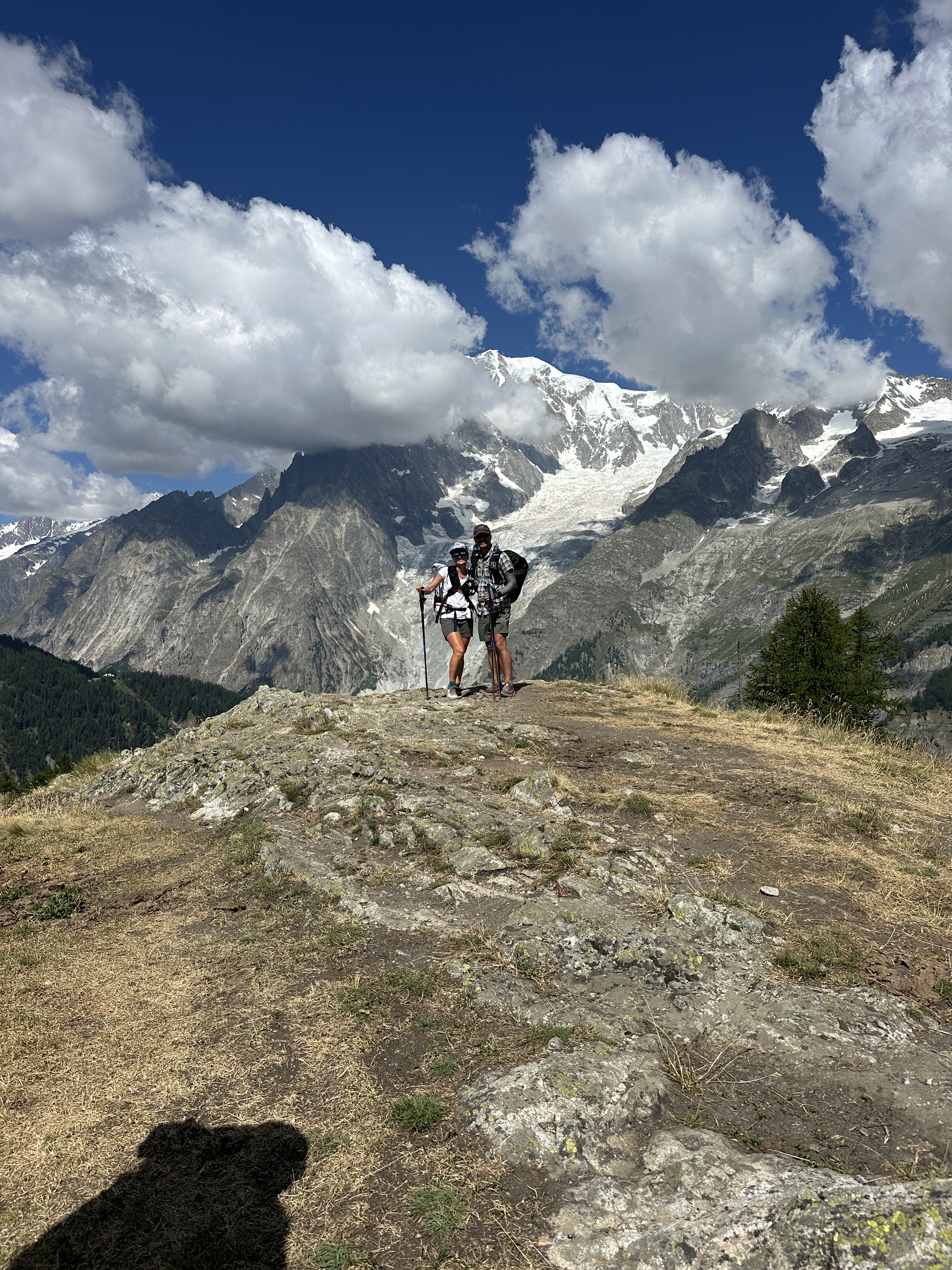
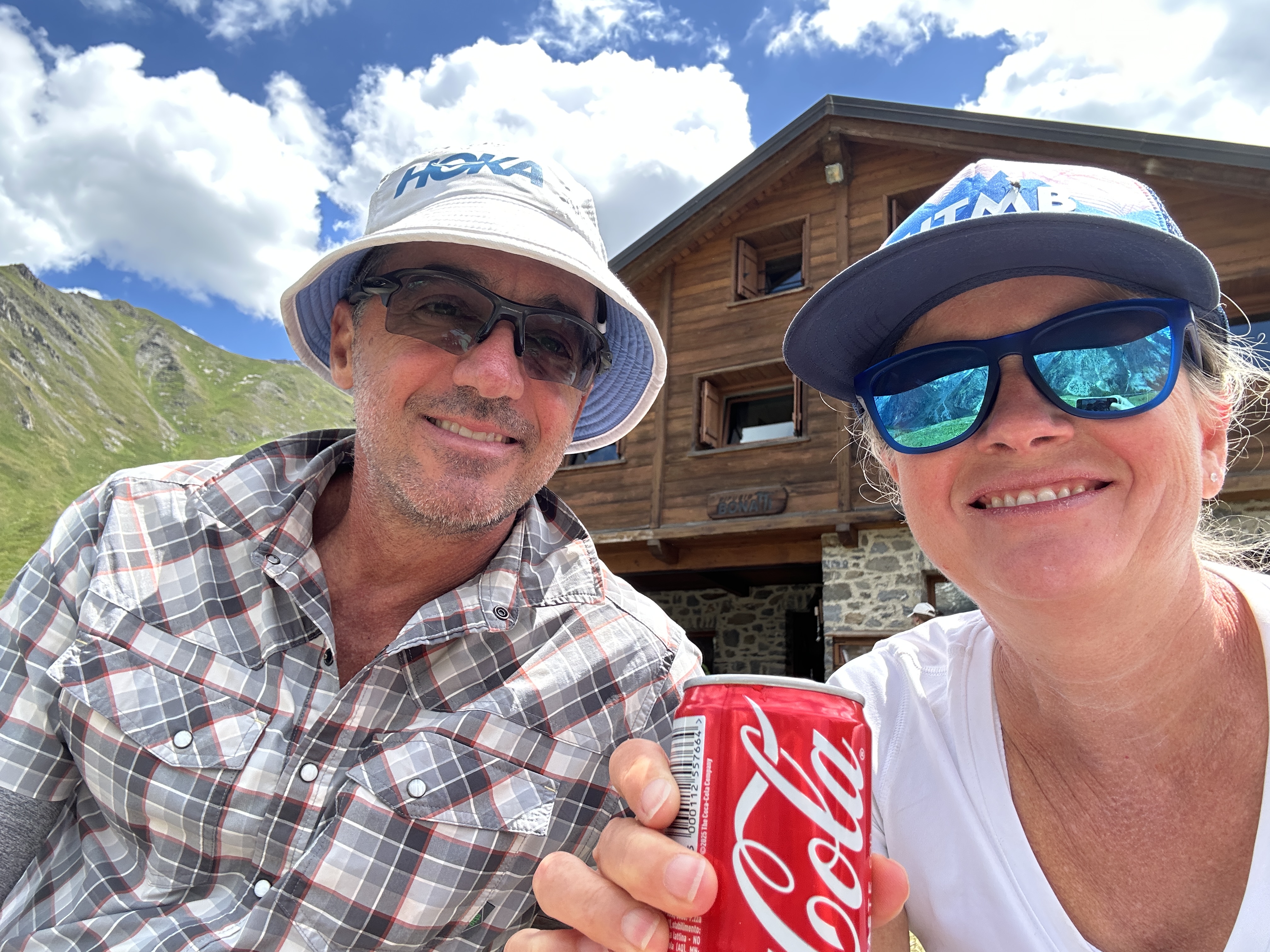
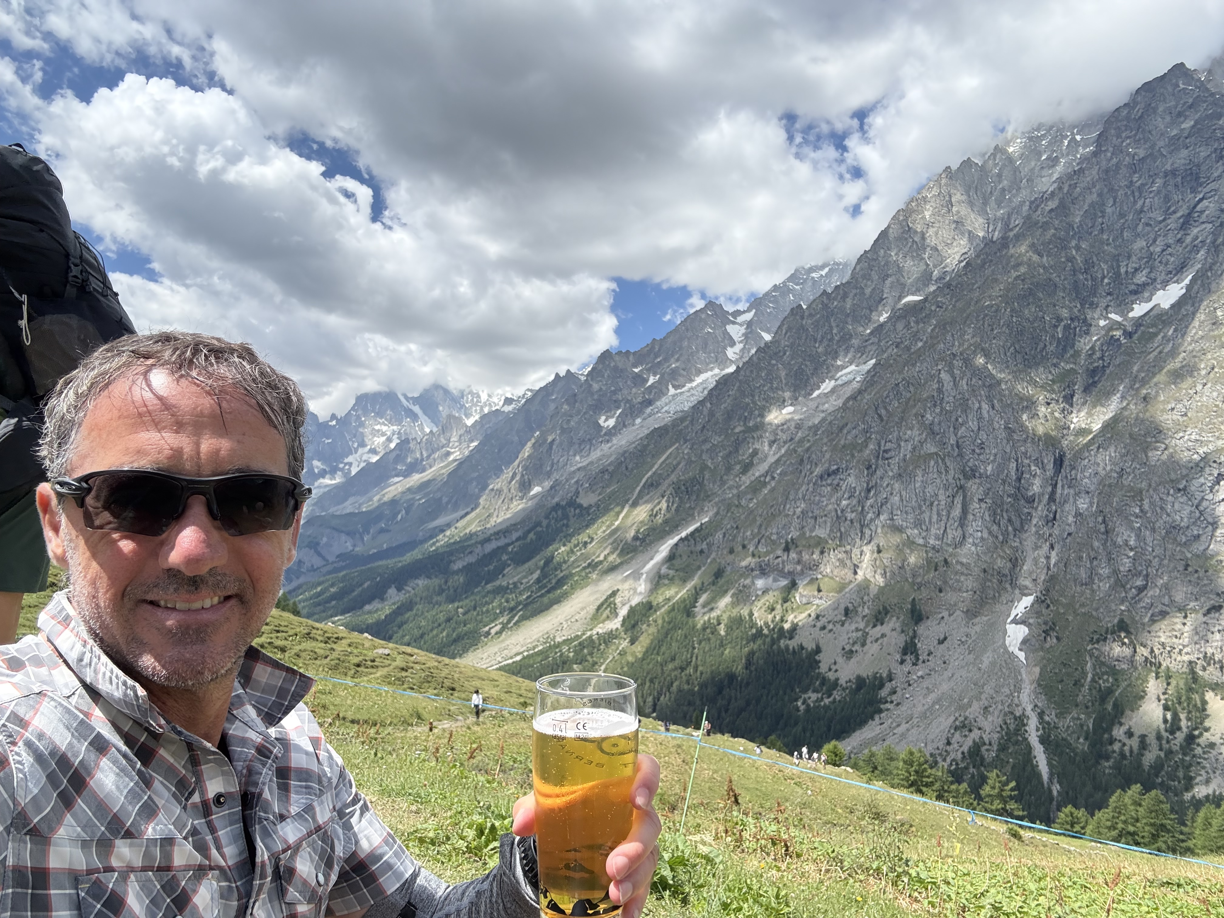
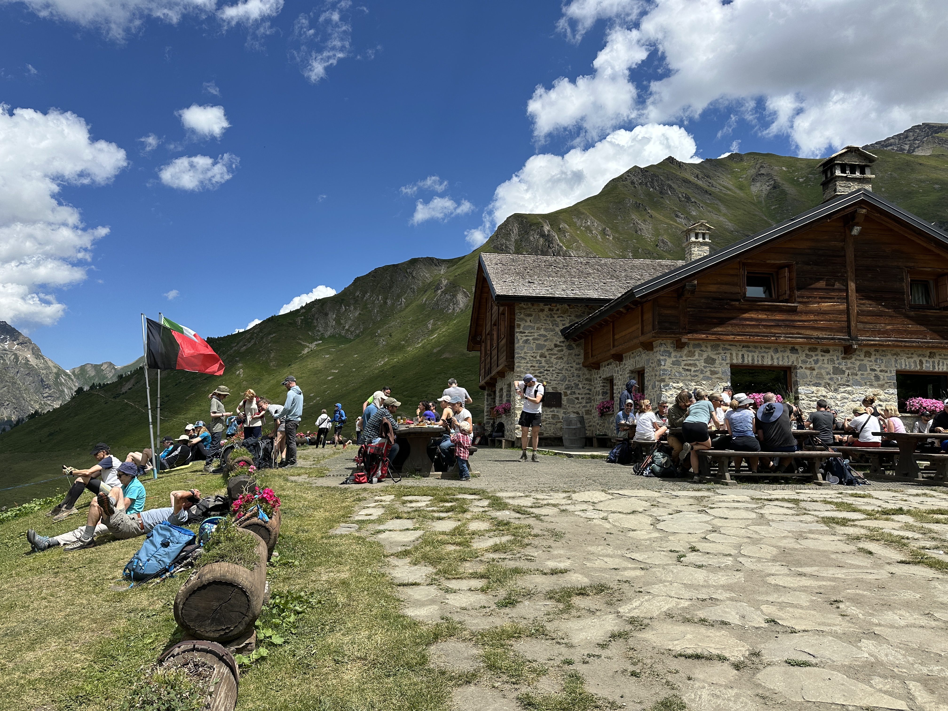
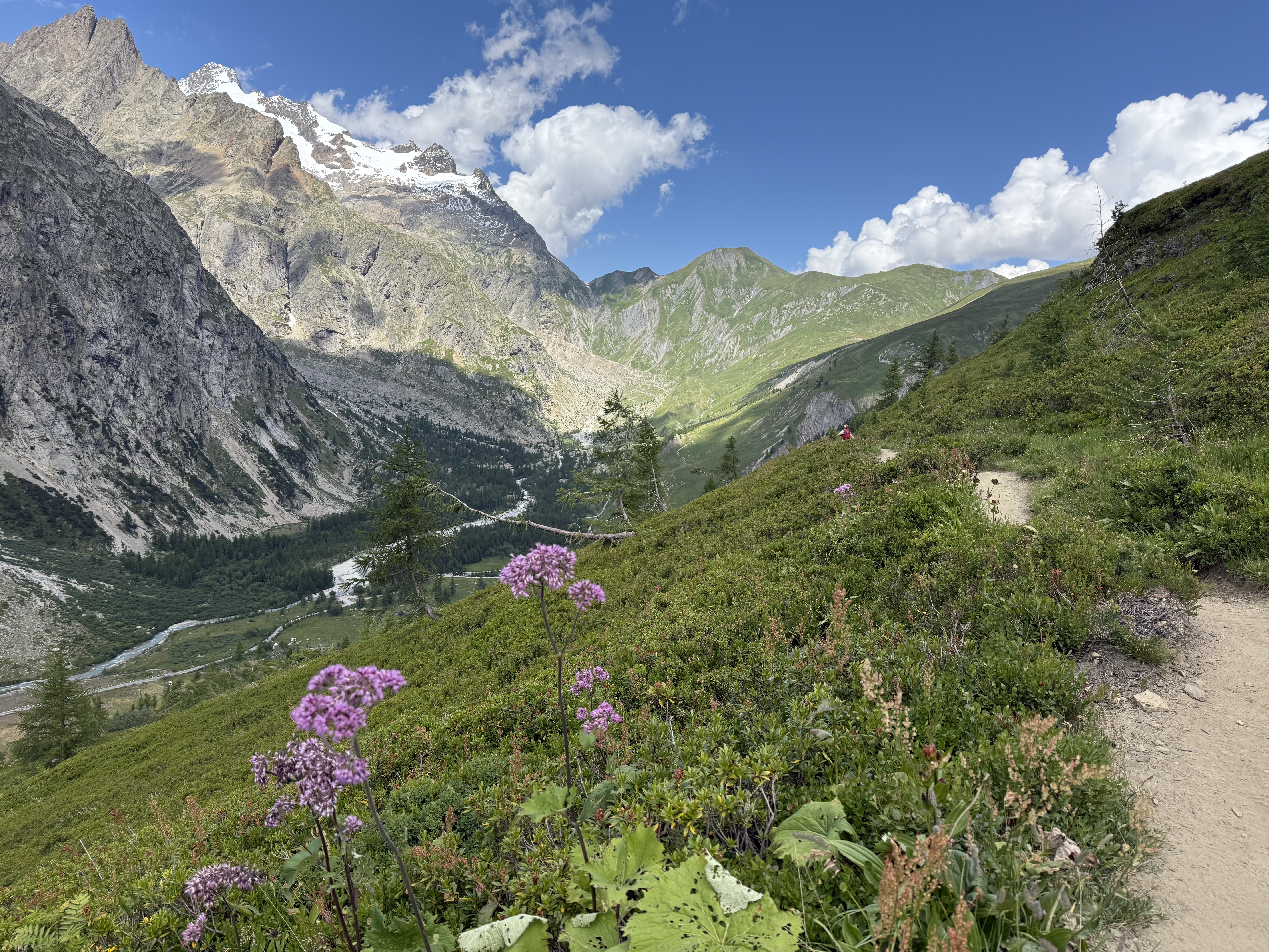
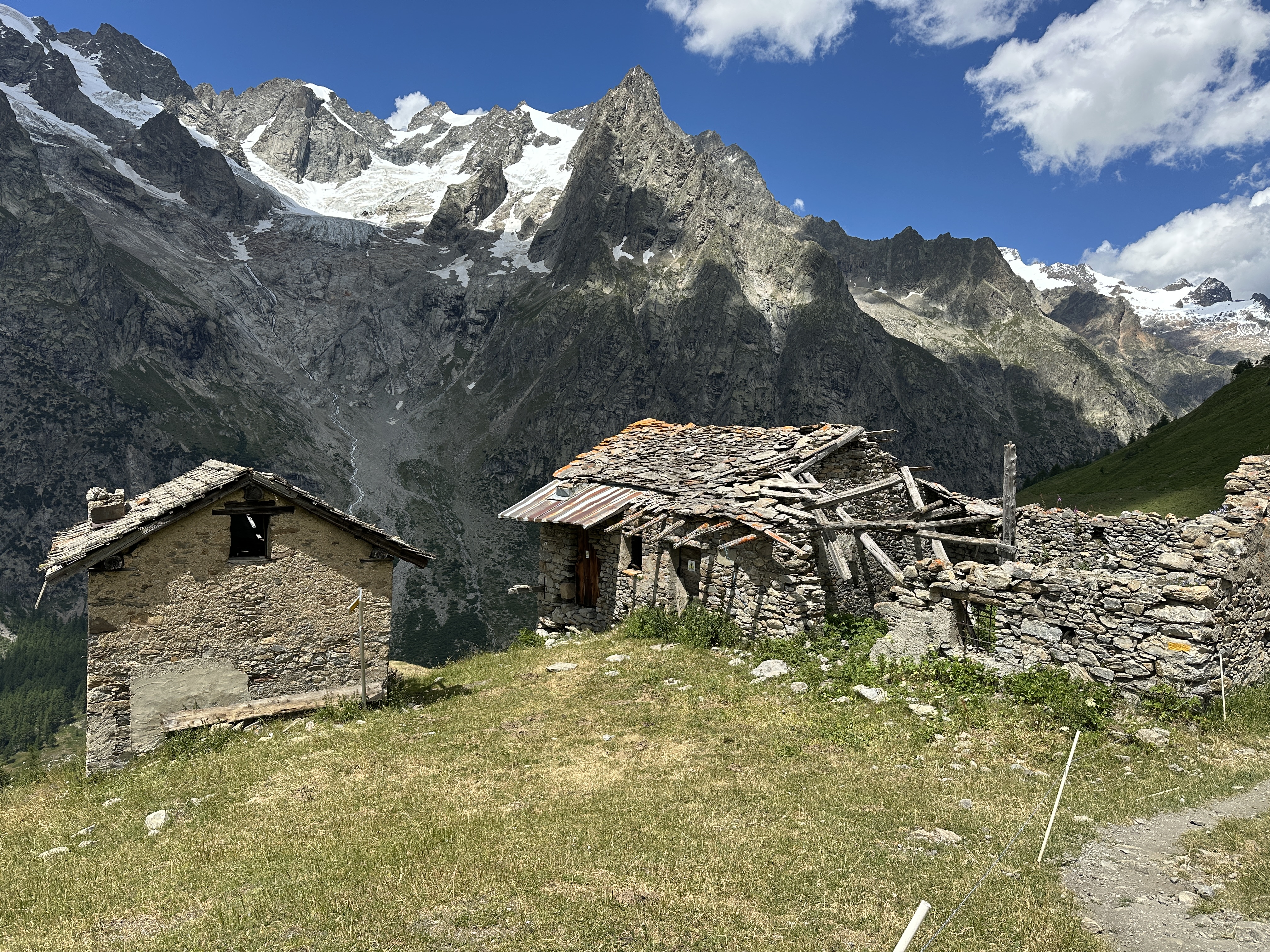
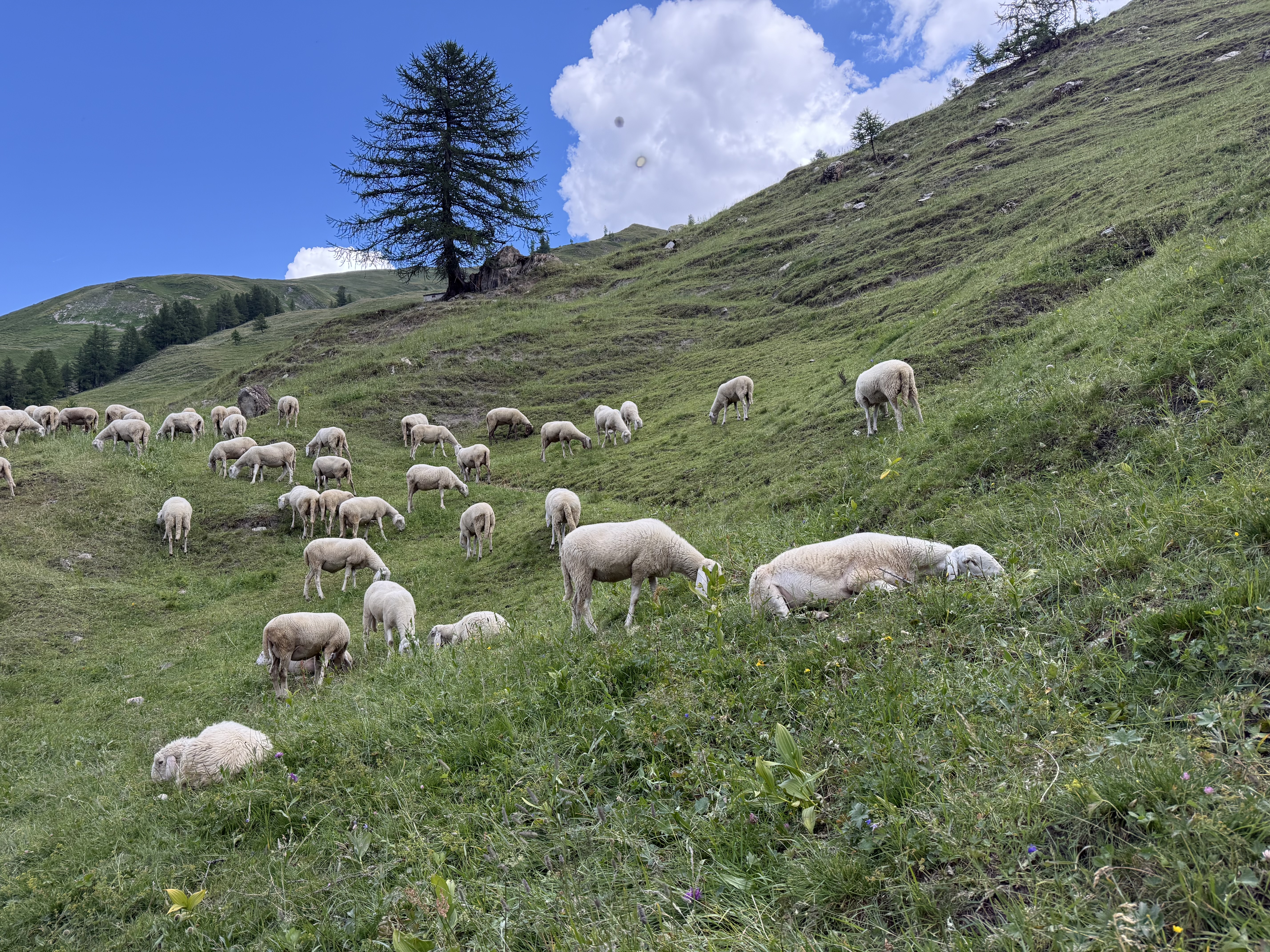
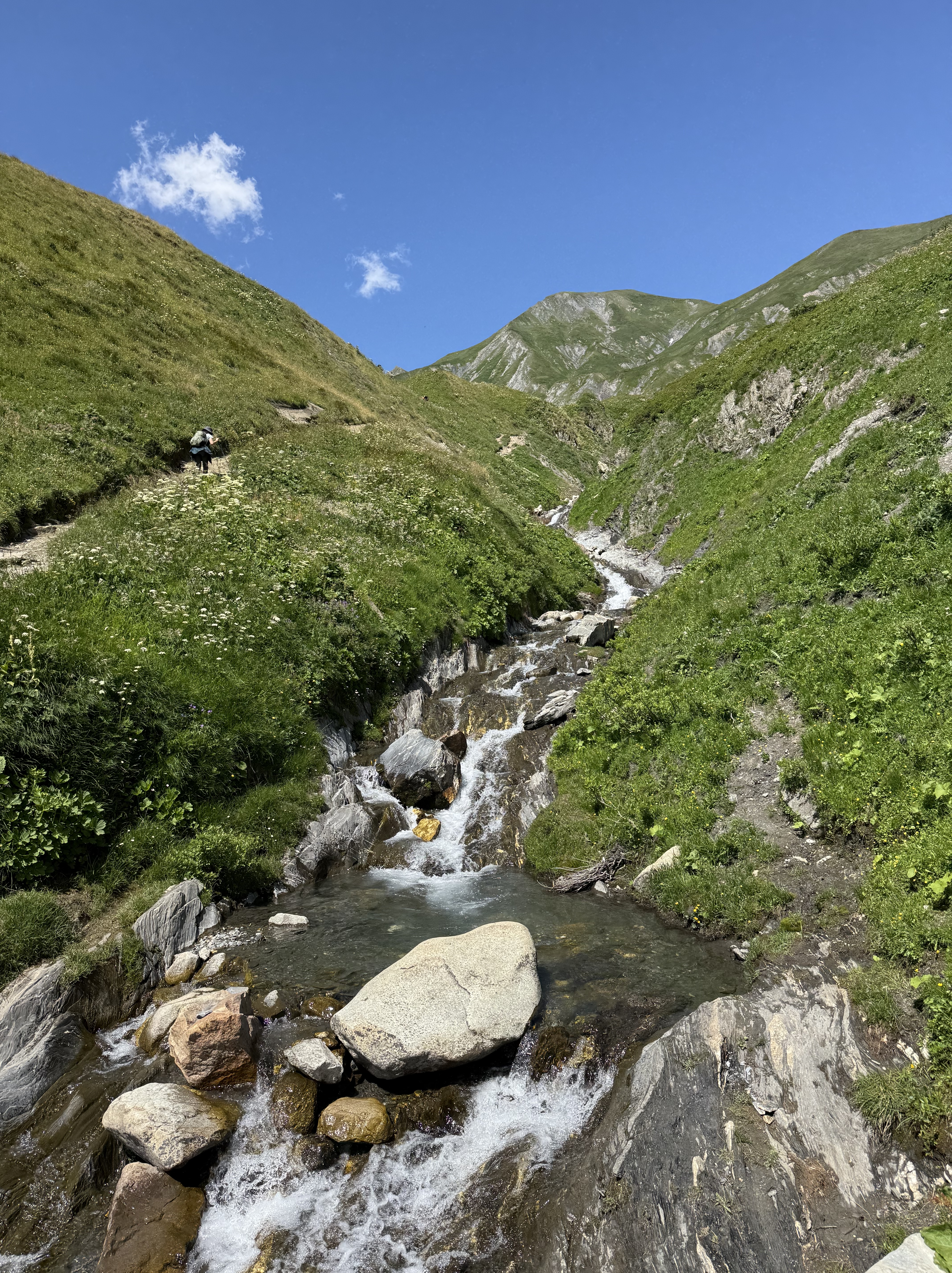
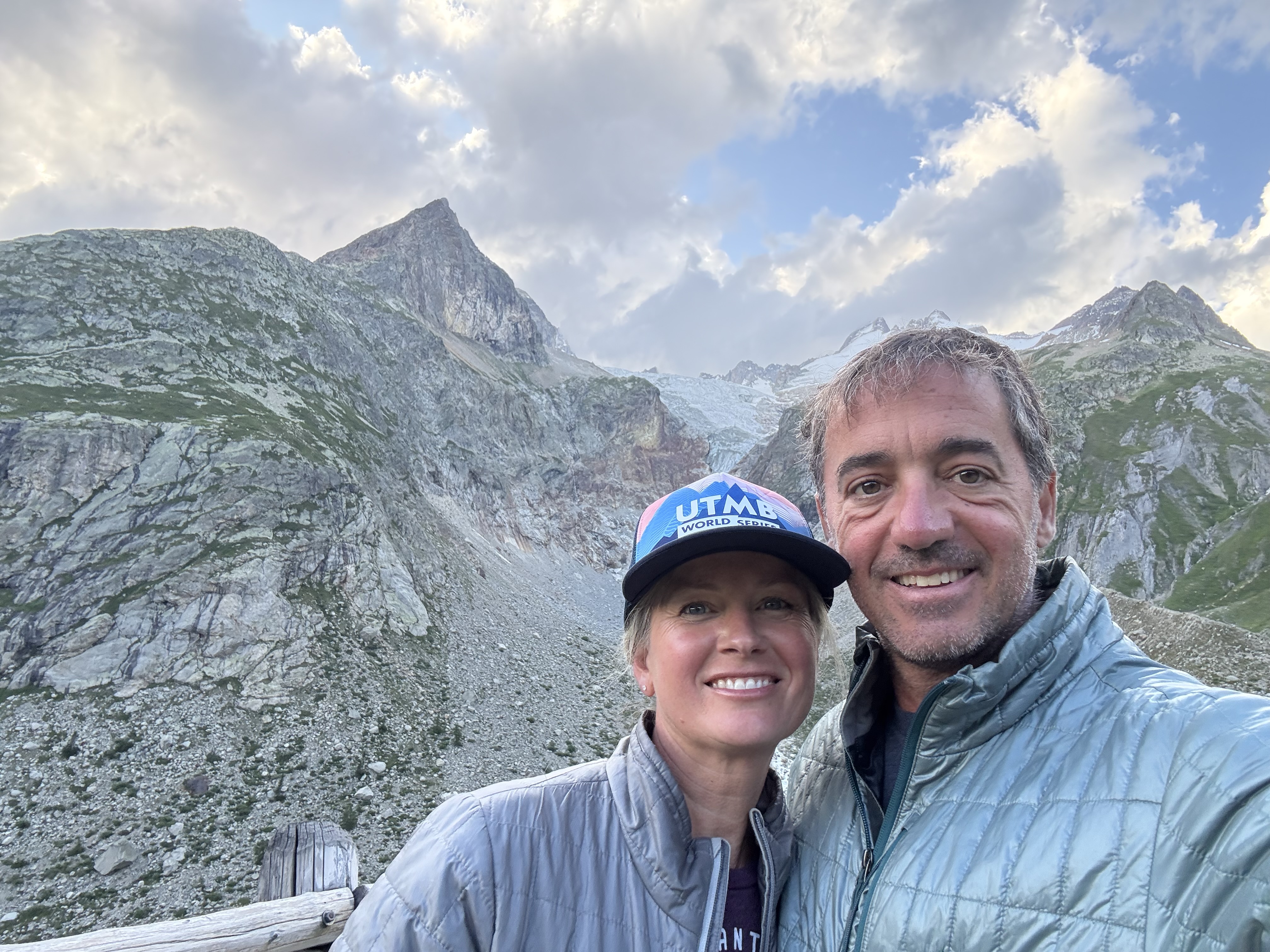
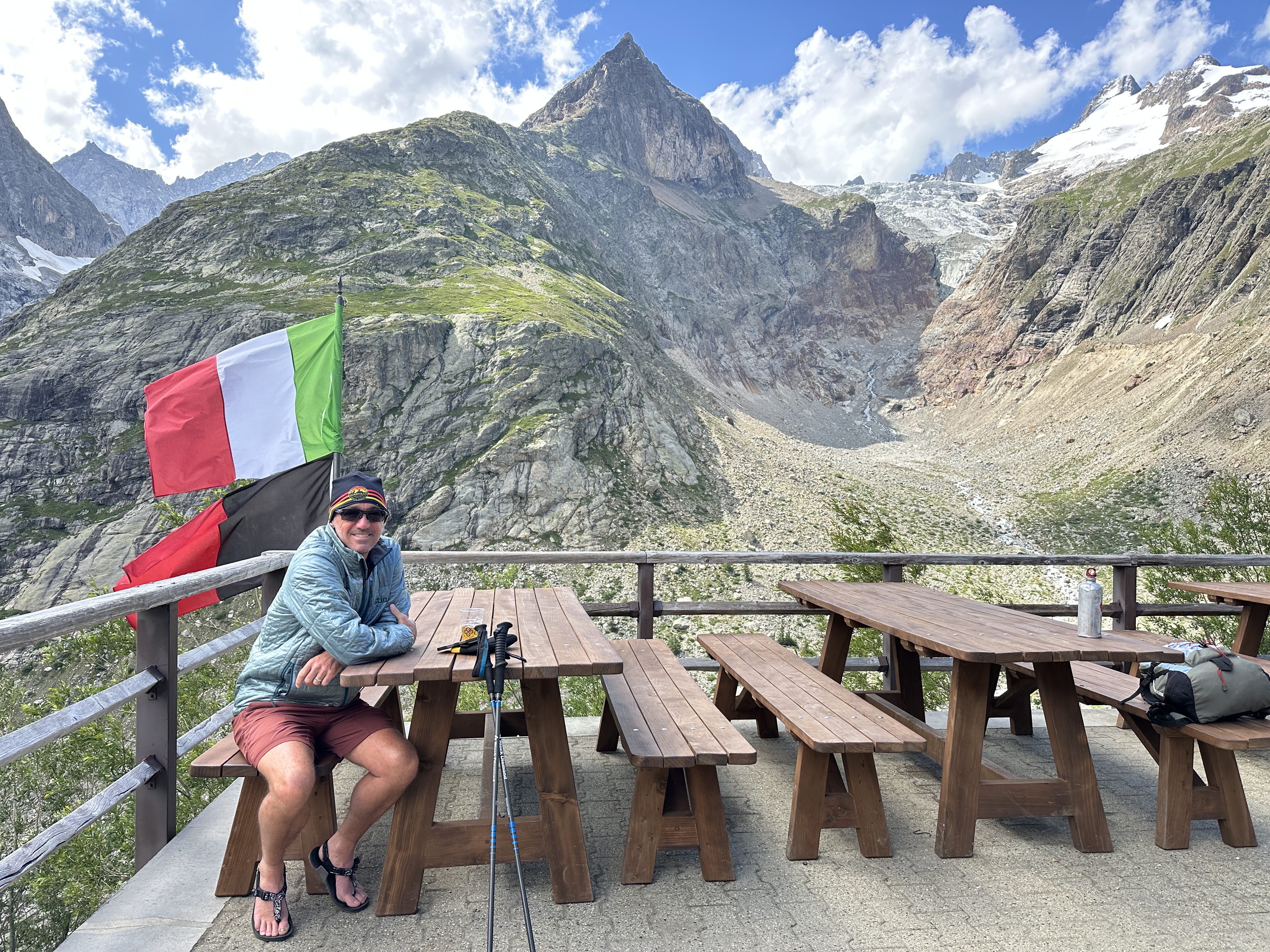
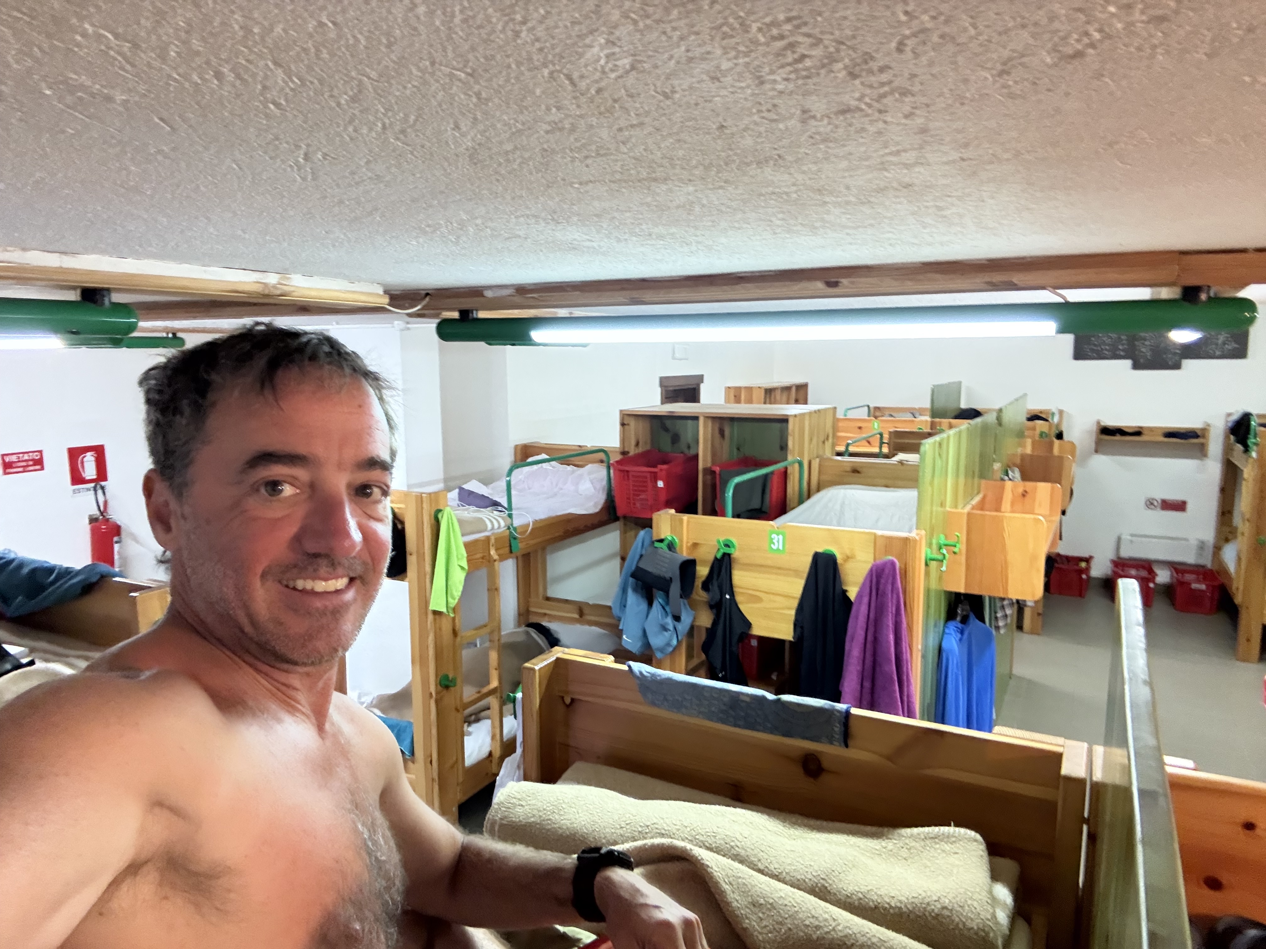
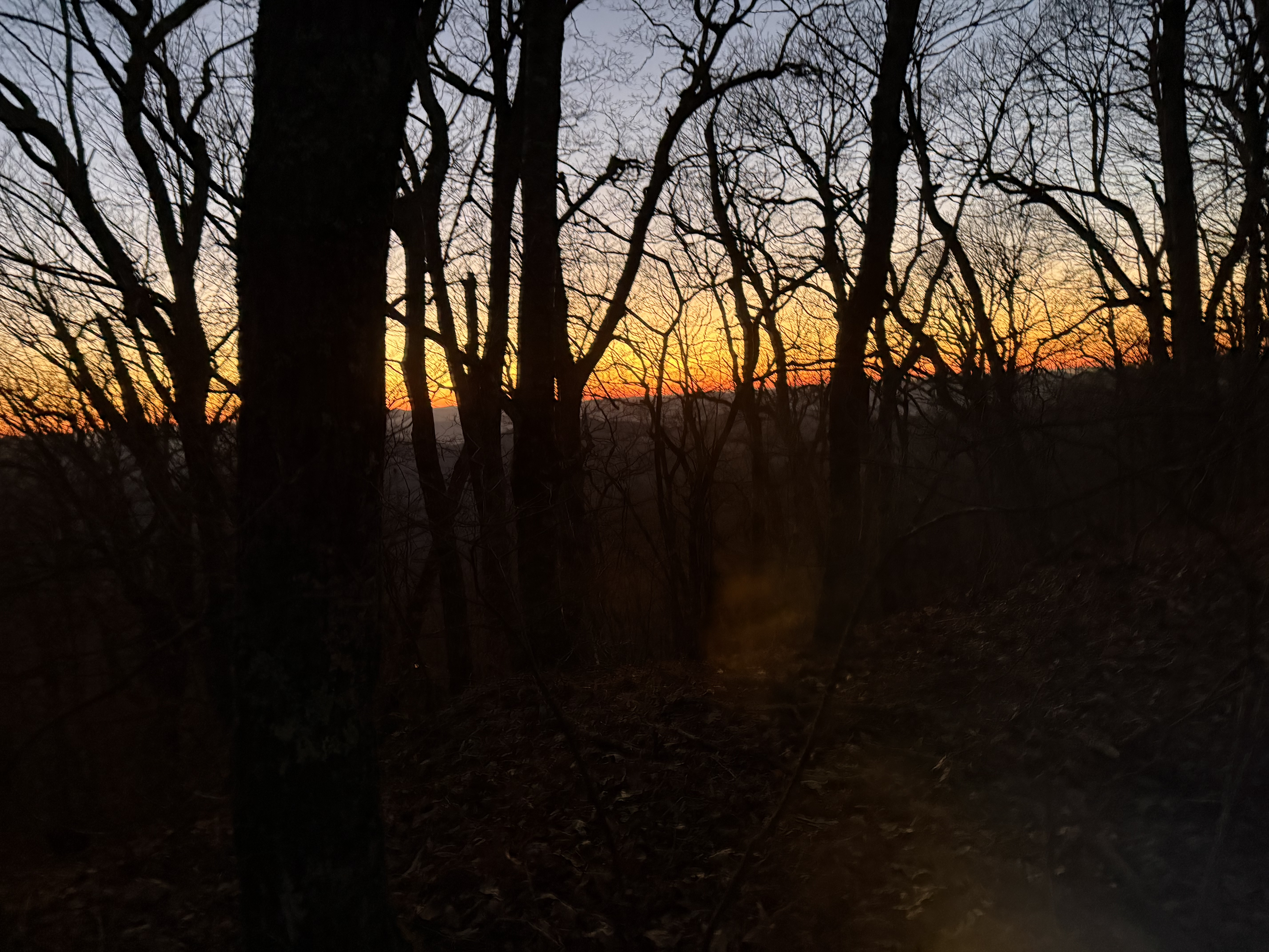
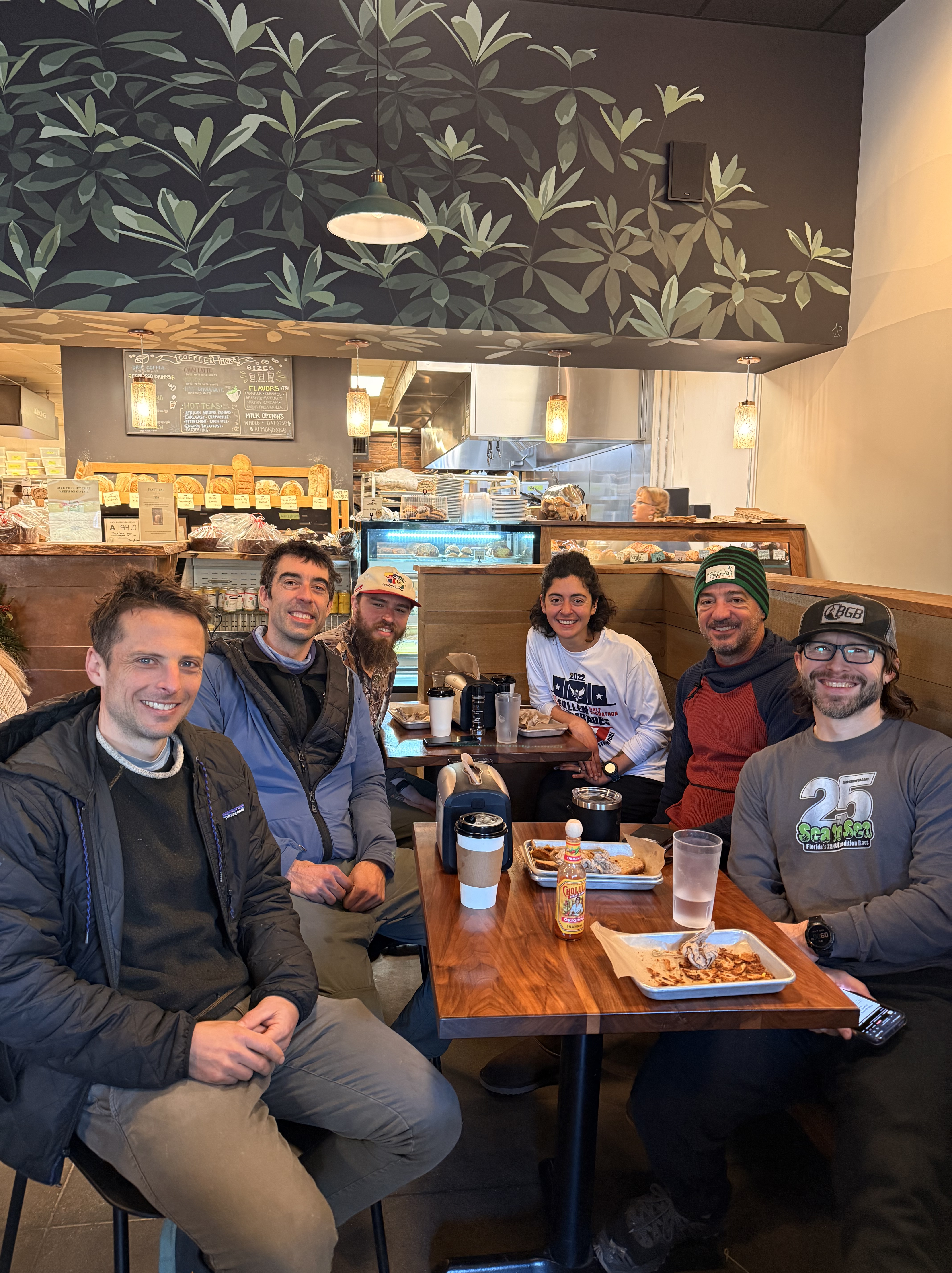
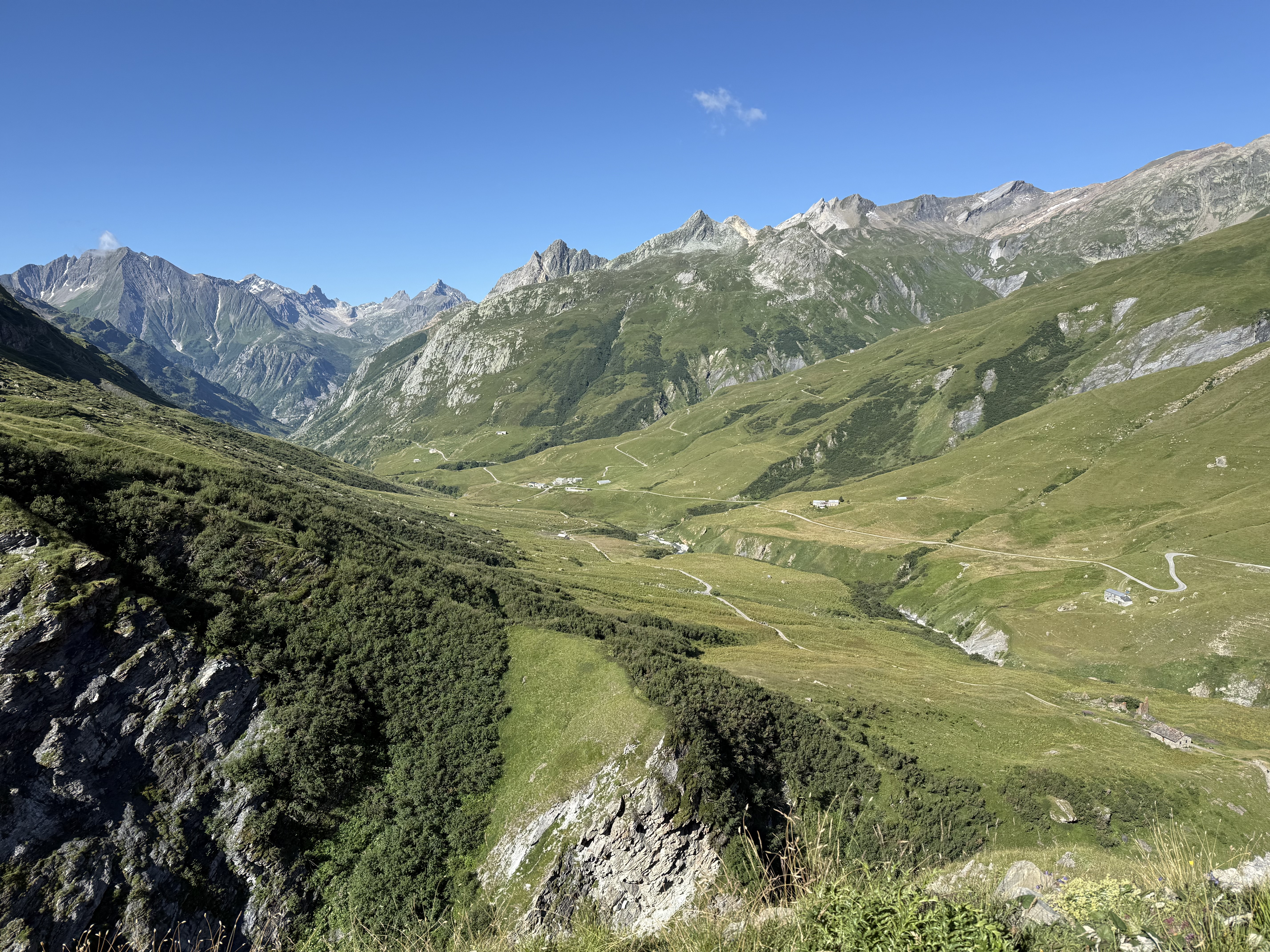
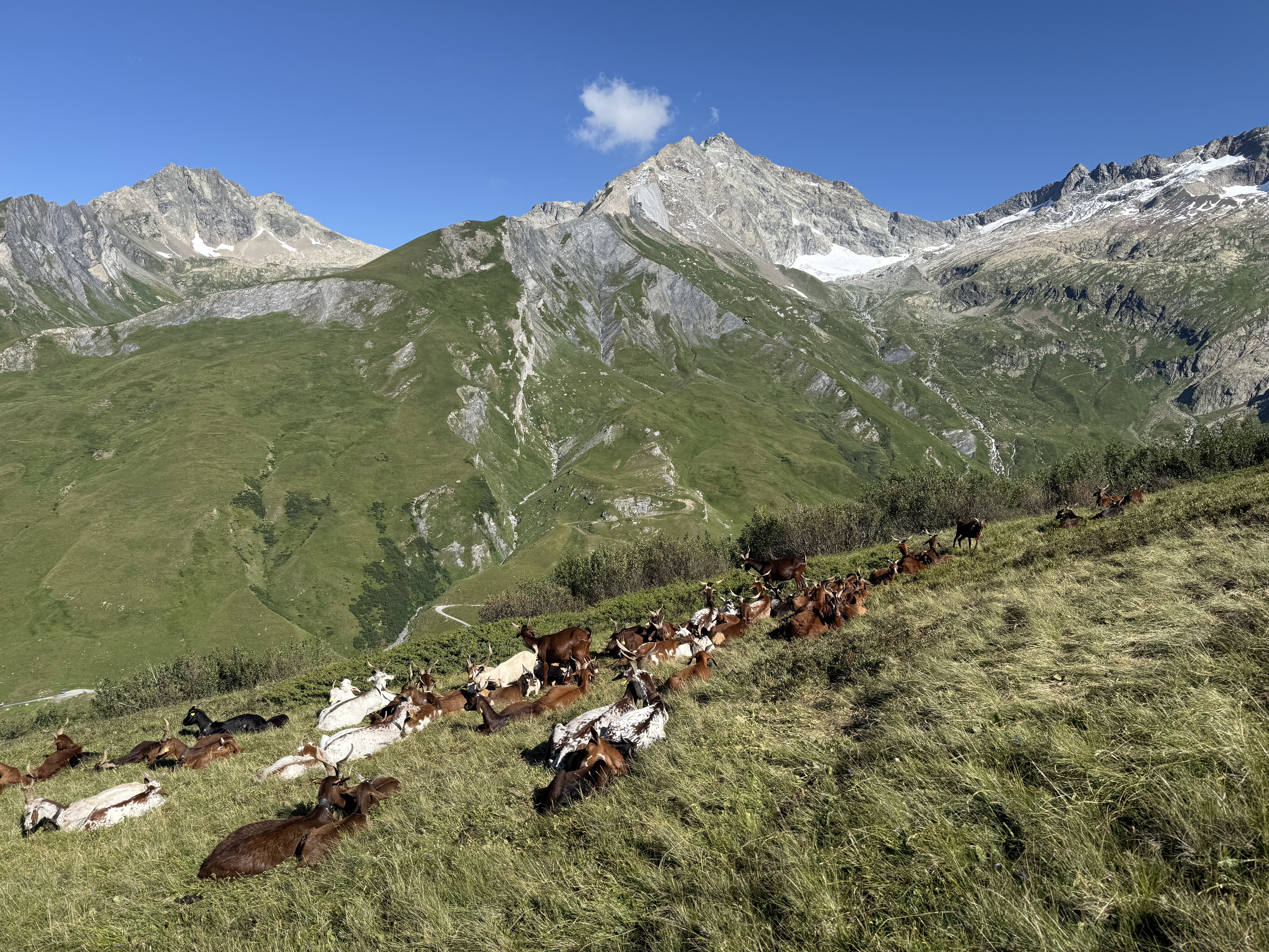
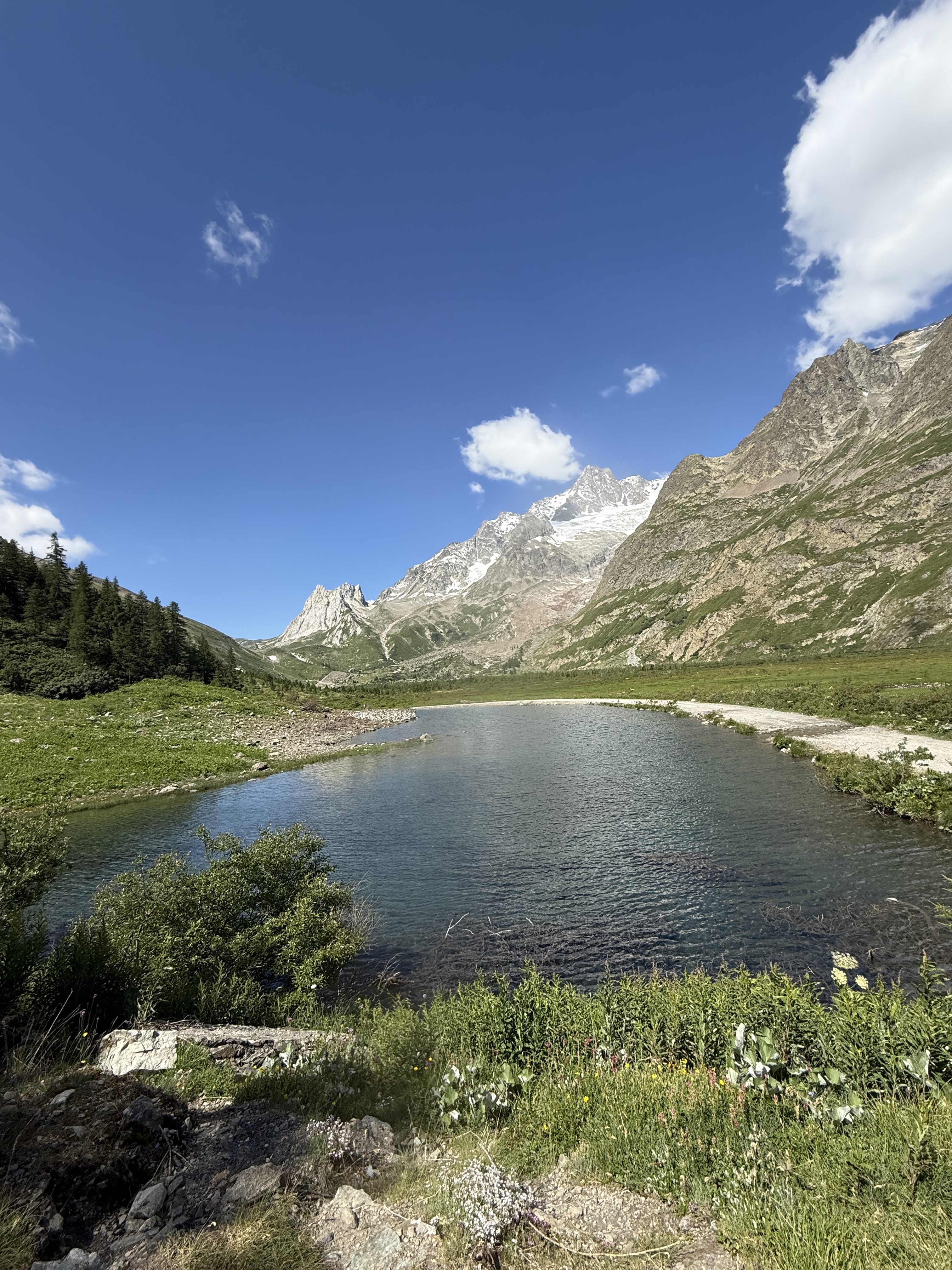
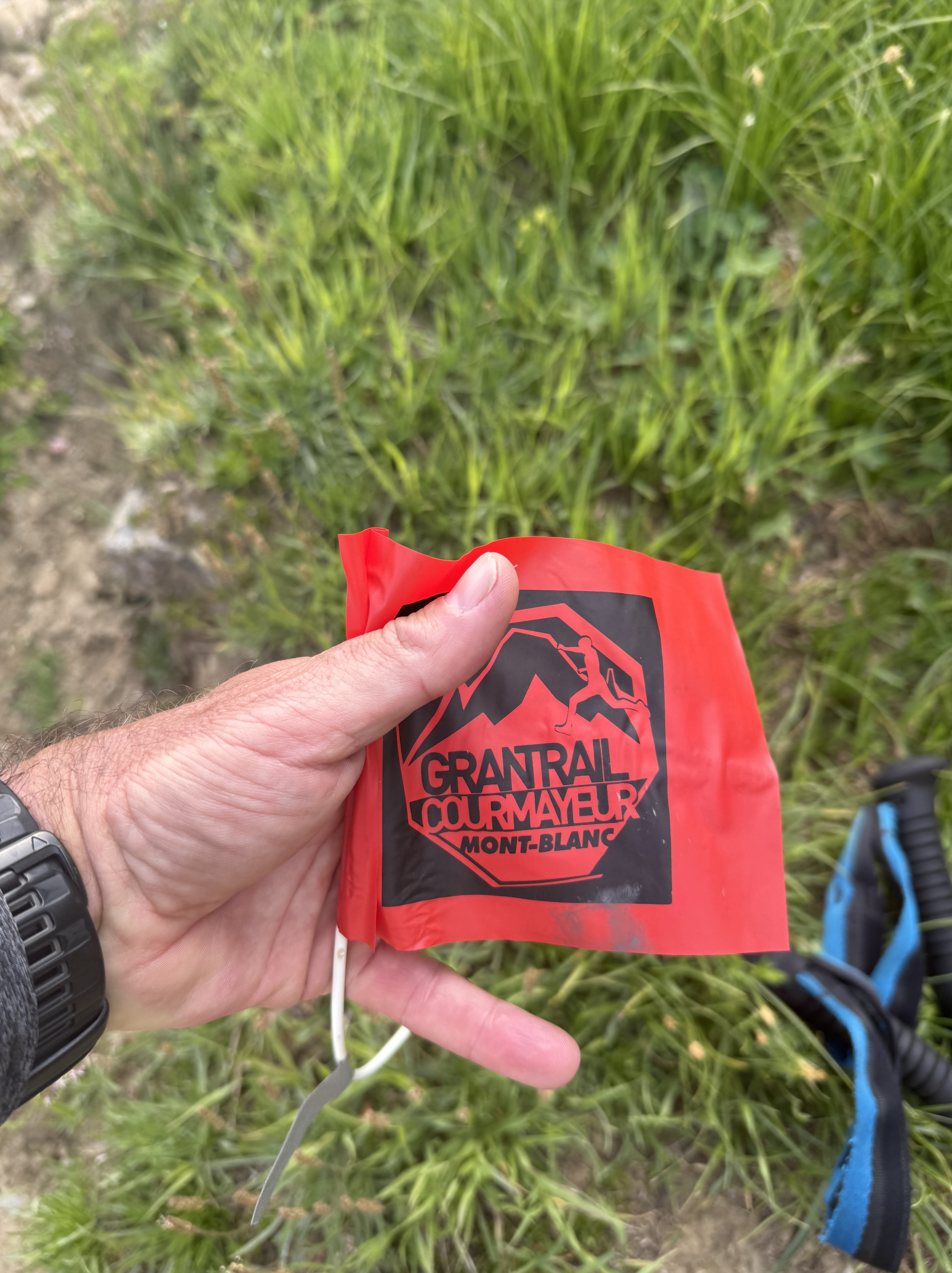
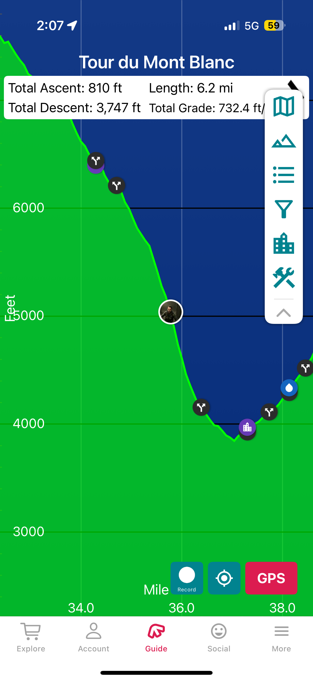
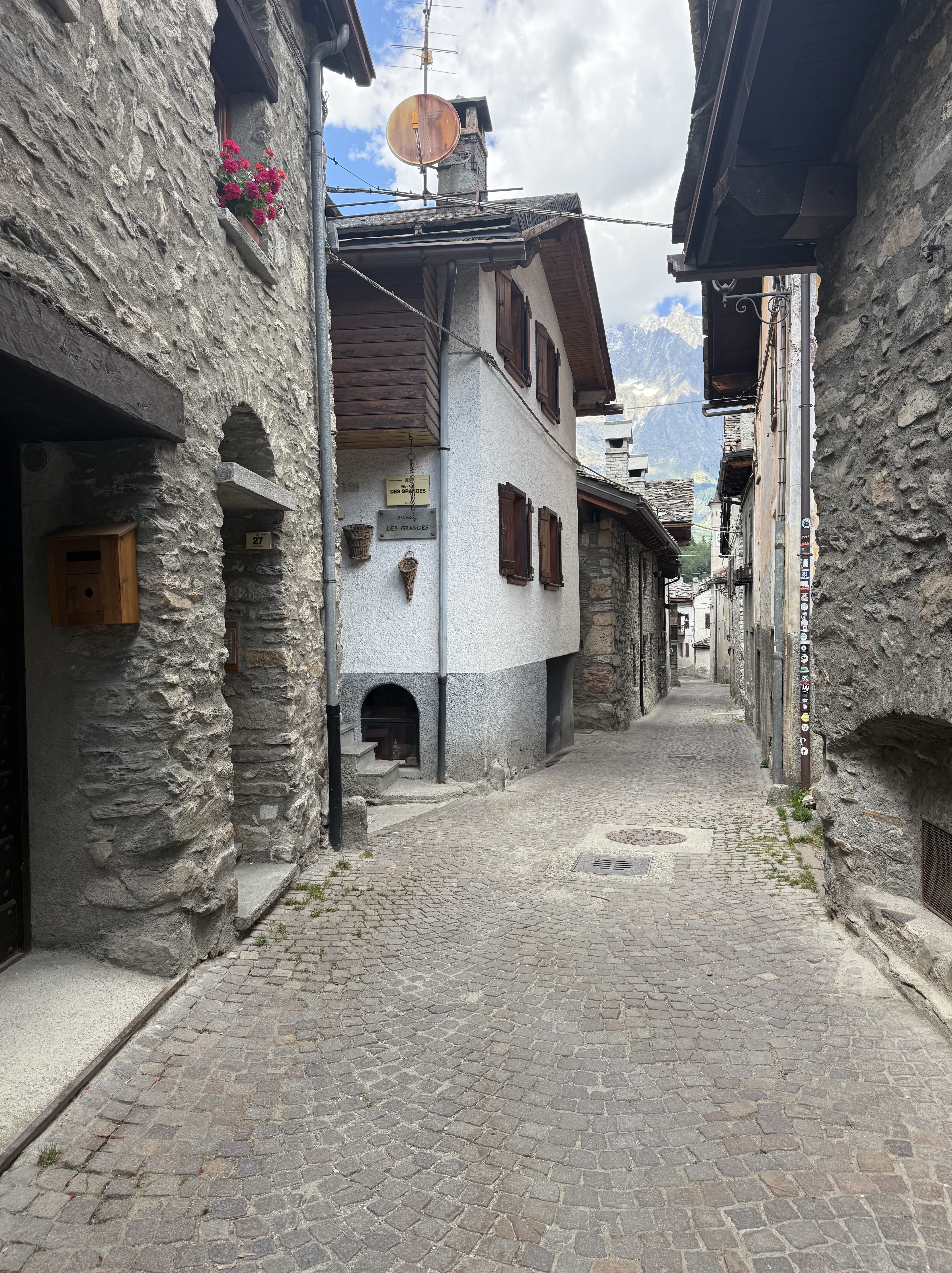
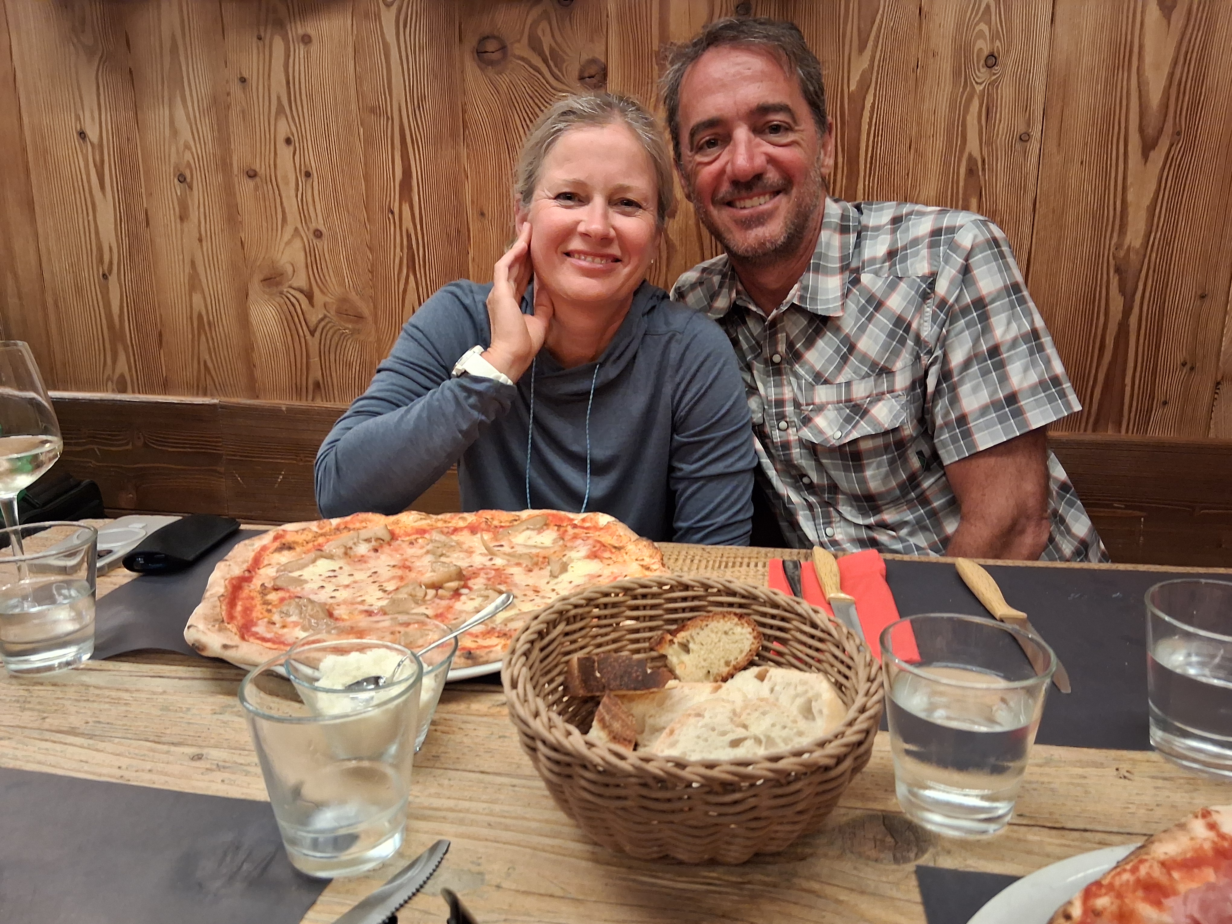
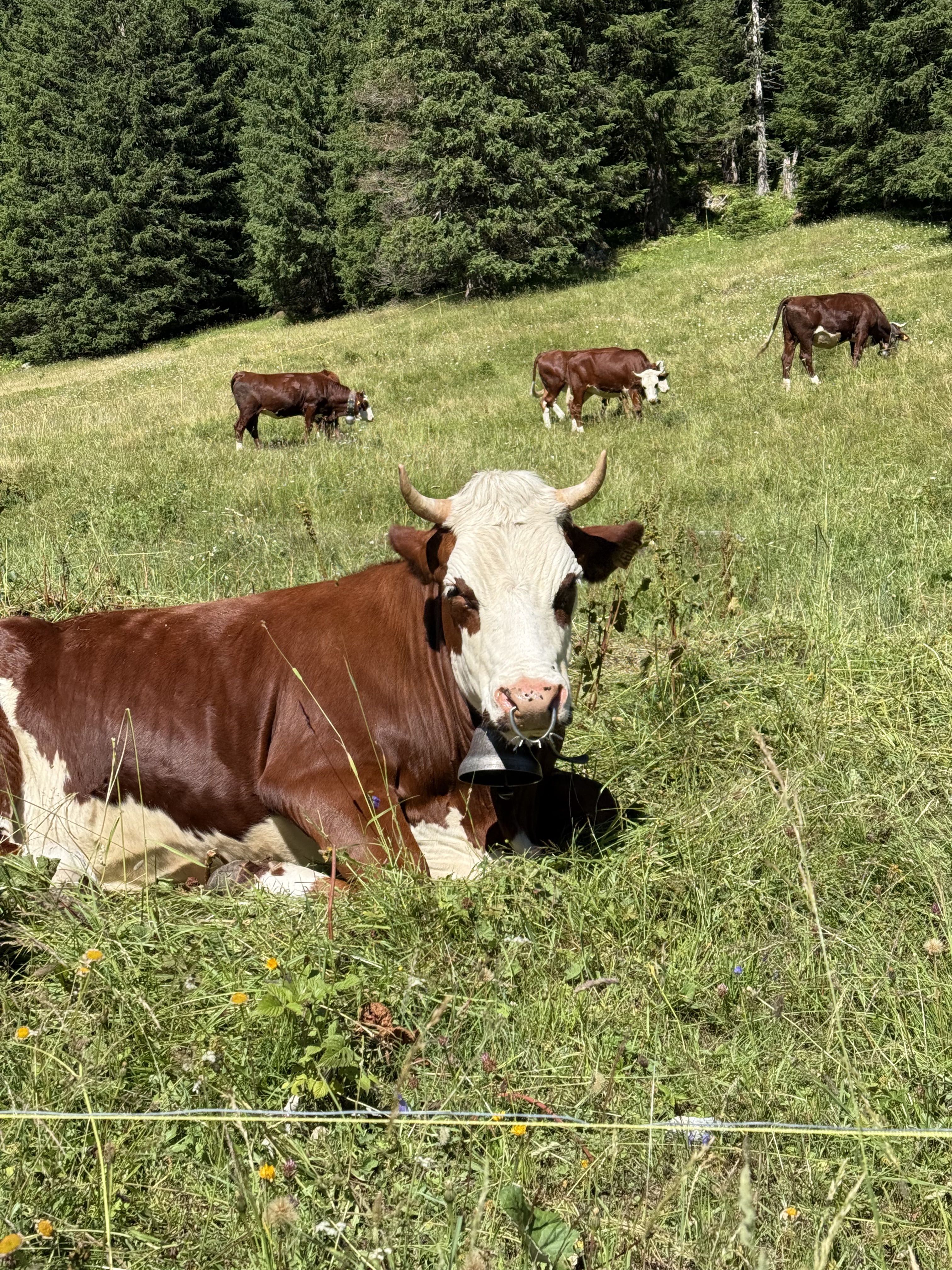
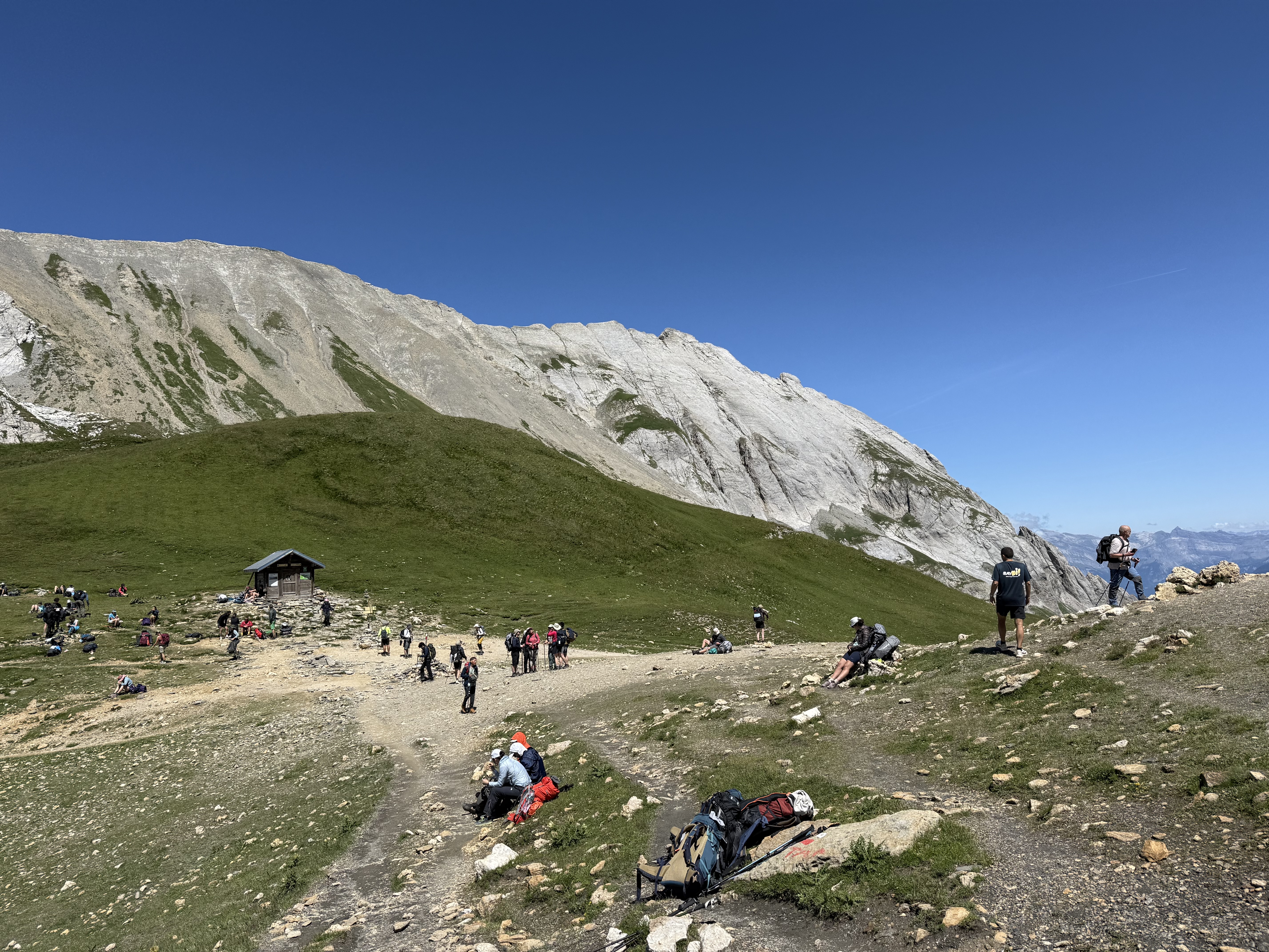
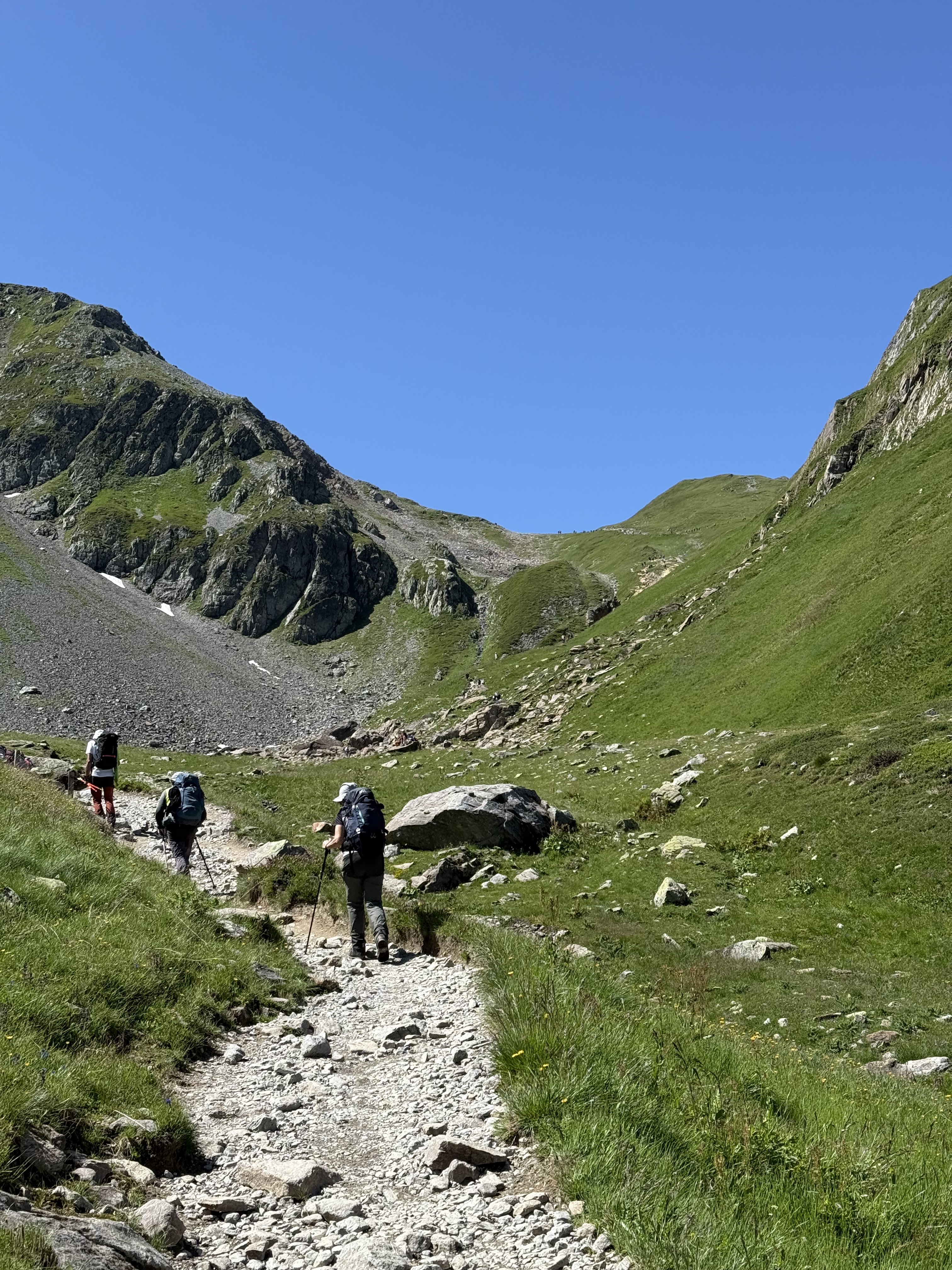
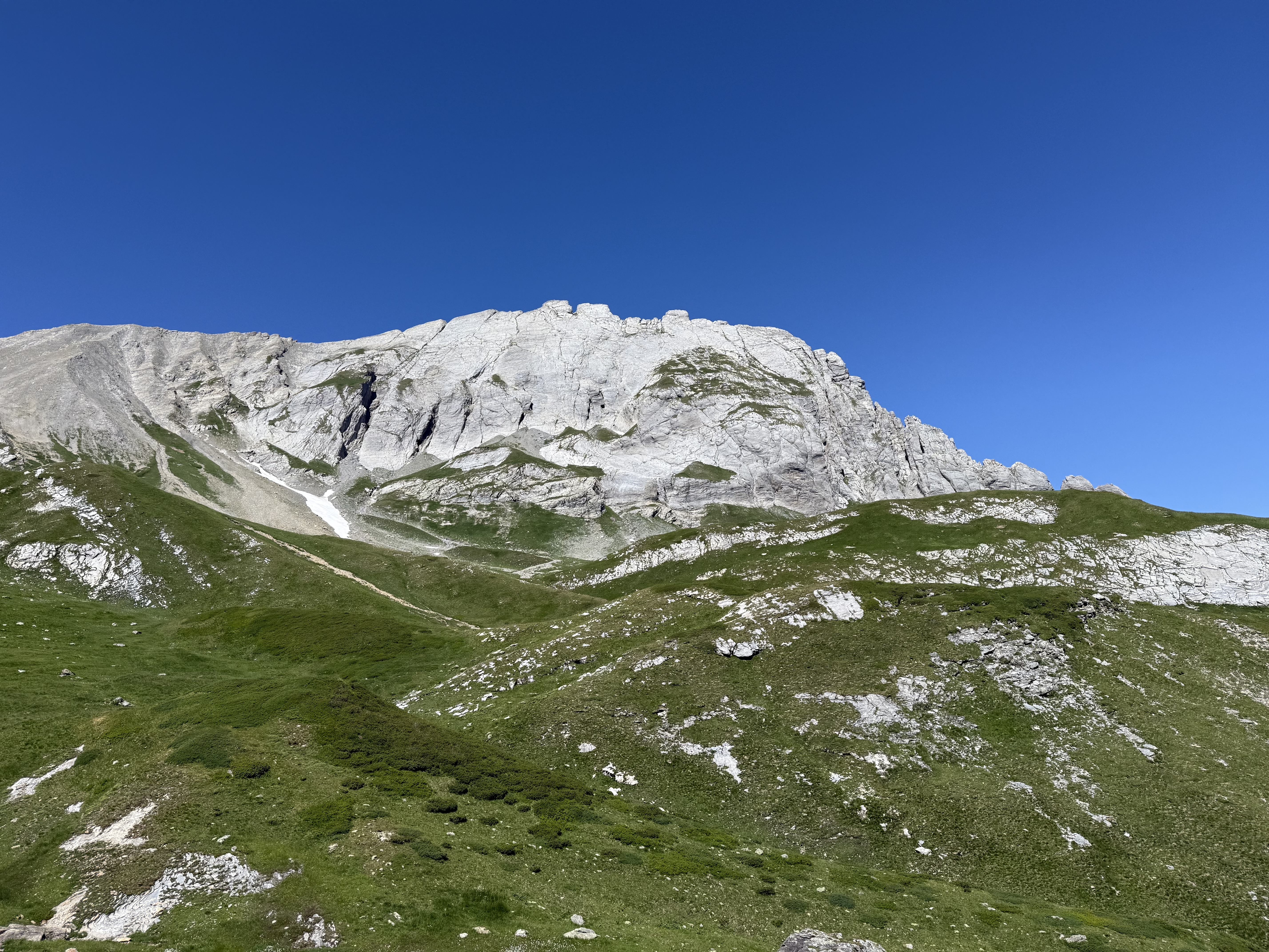
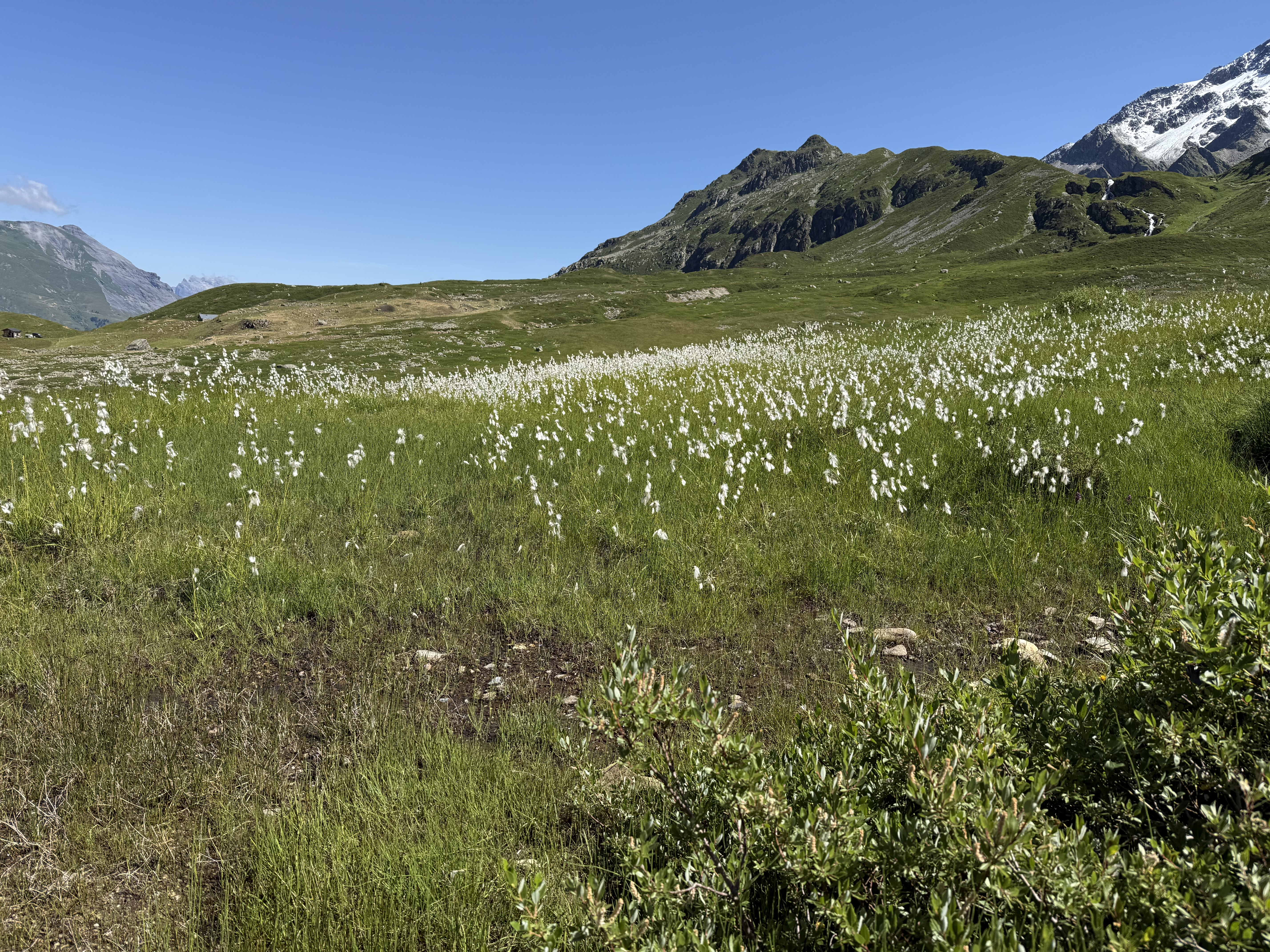
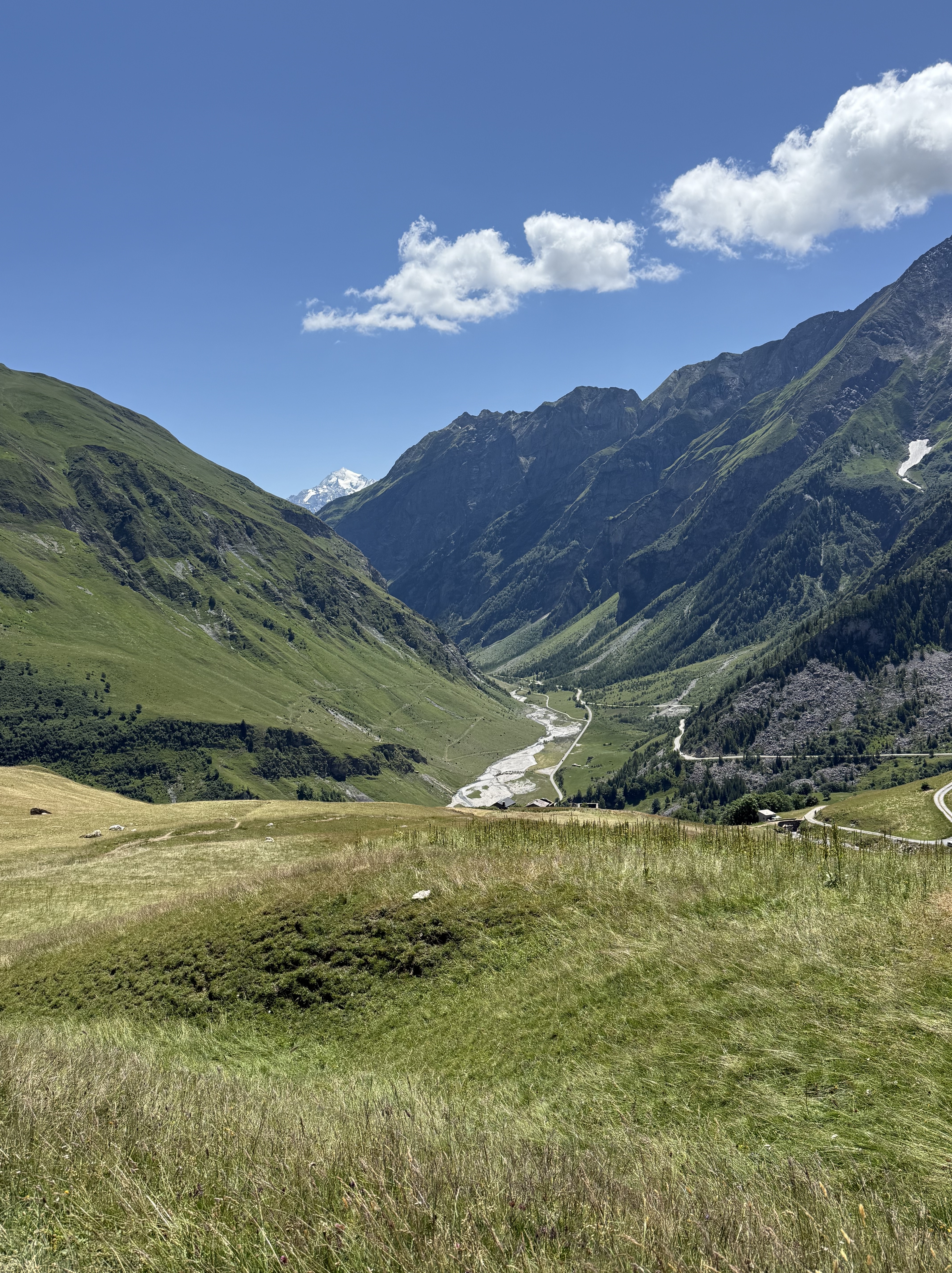
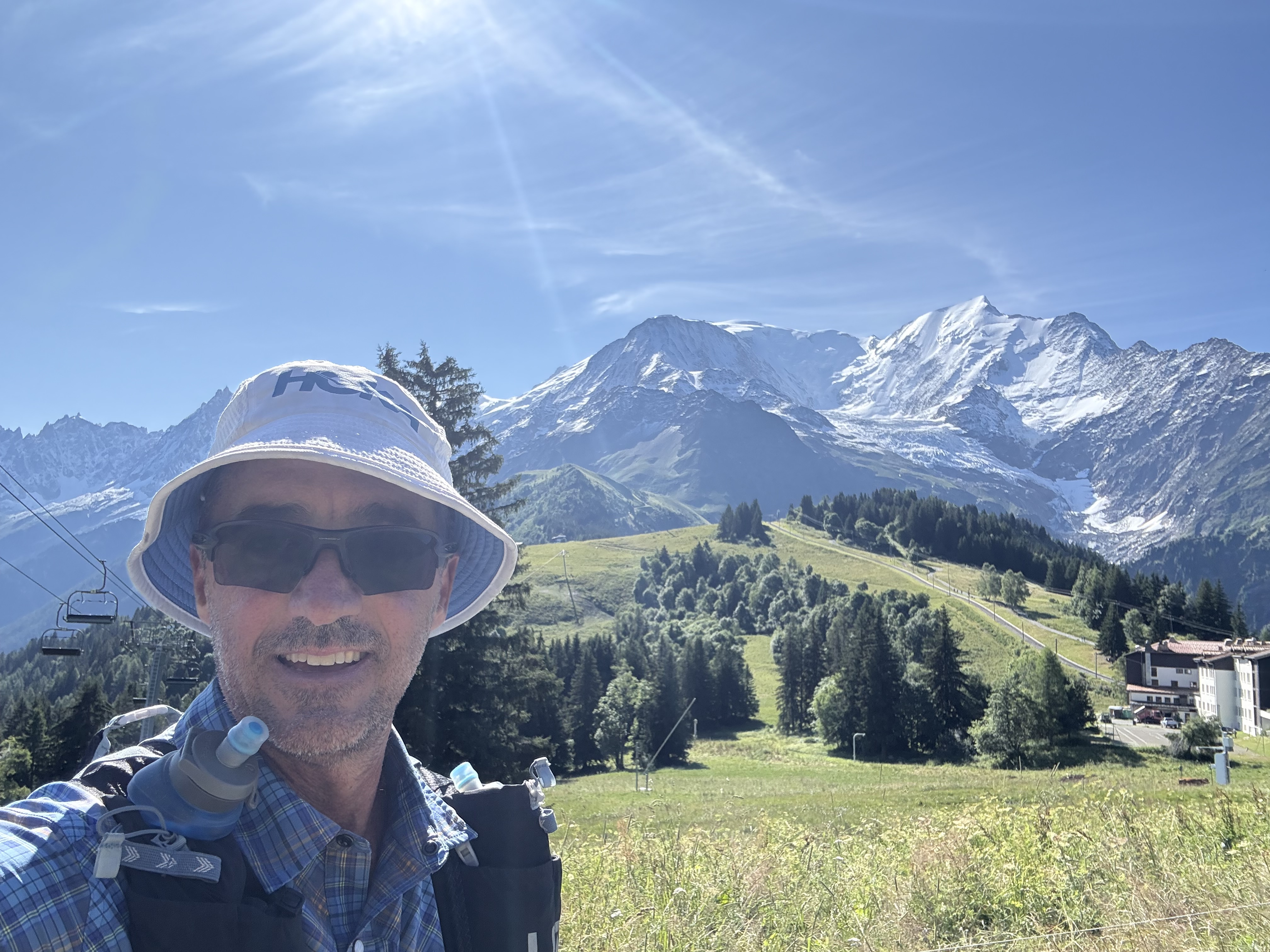
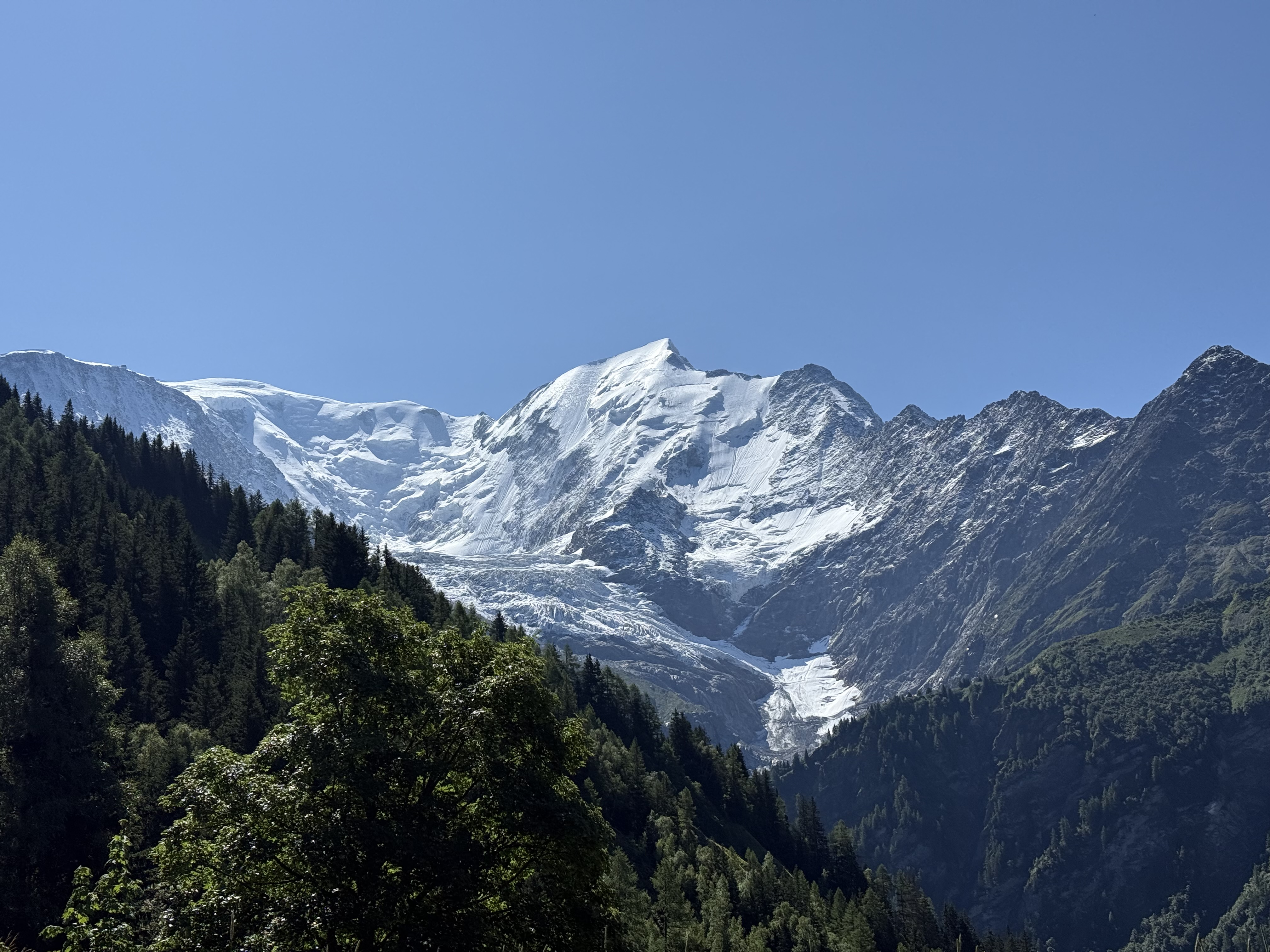
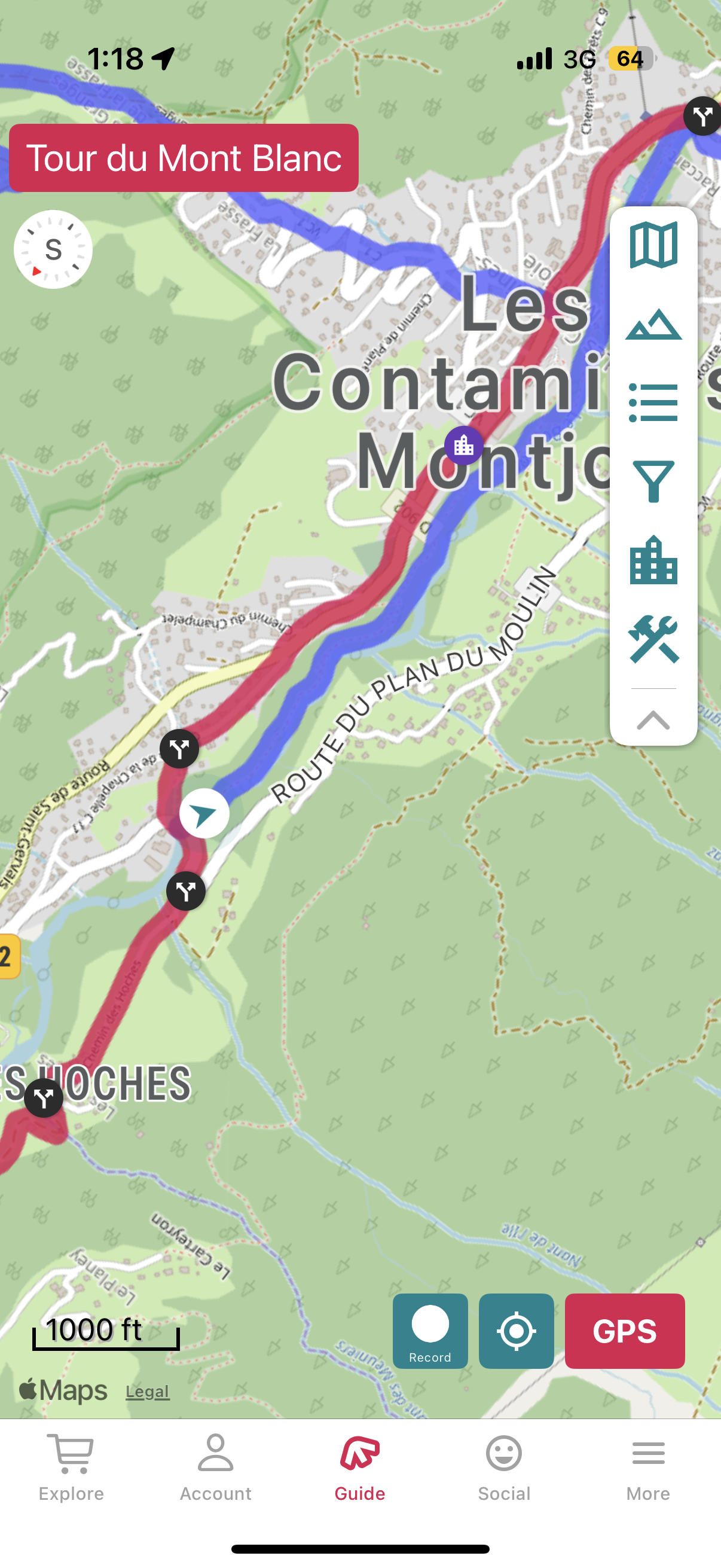
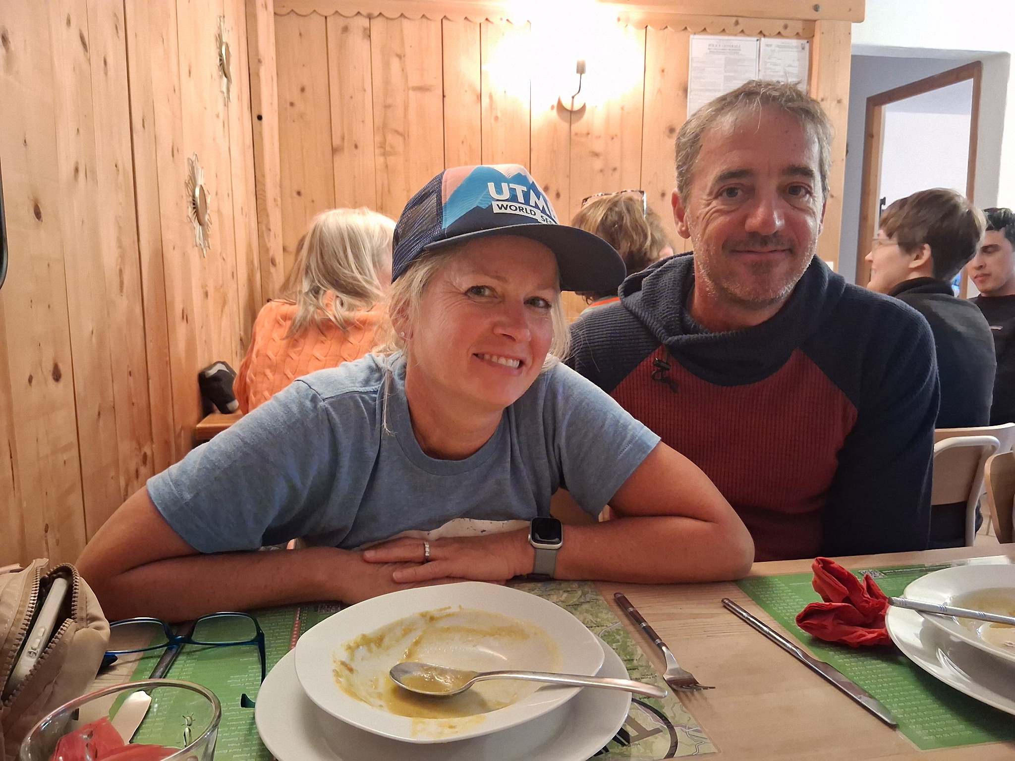
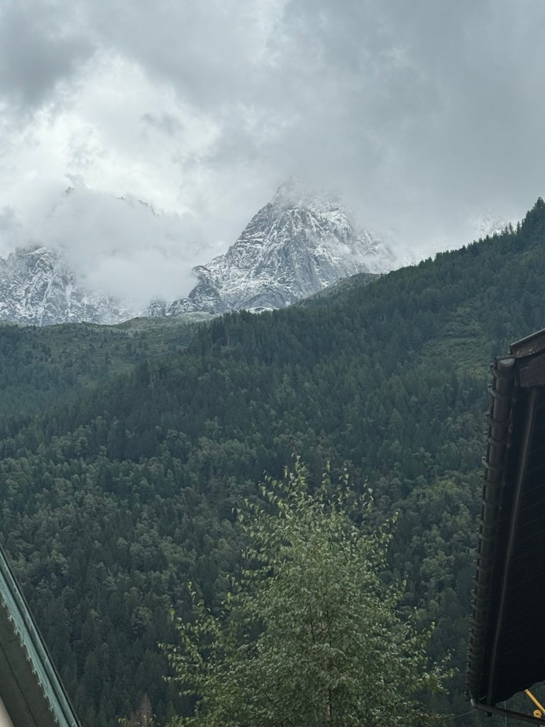
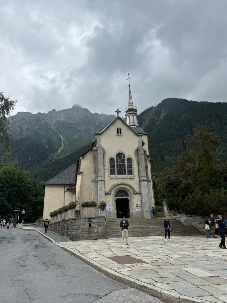
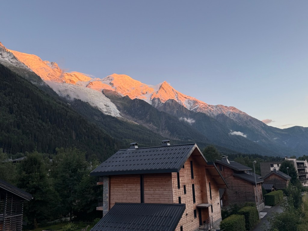
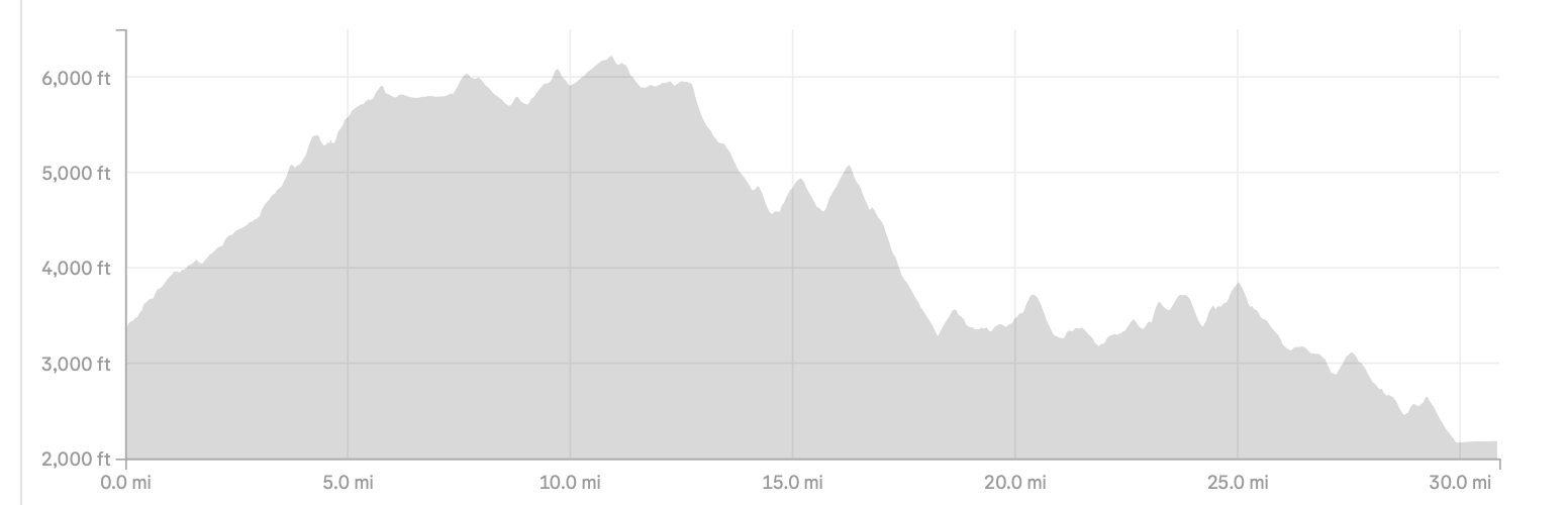
I did some other big runs, such as the Virginia Triple Crown (though I guess I didn’t write a blog about it, so here’s a Strava link, and another ALTAR (not a single, not a double, but an out and back that covered 46+ miles). There was also the hike/run around Mount Blanc — I’ve posted some of that trip, but not all of it yet… You can find most of them by using this search link.
Sträva year in review screen shots are here:
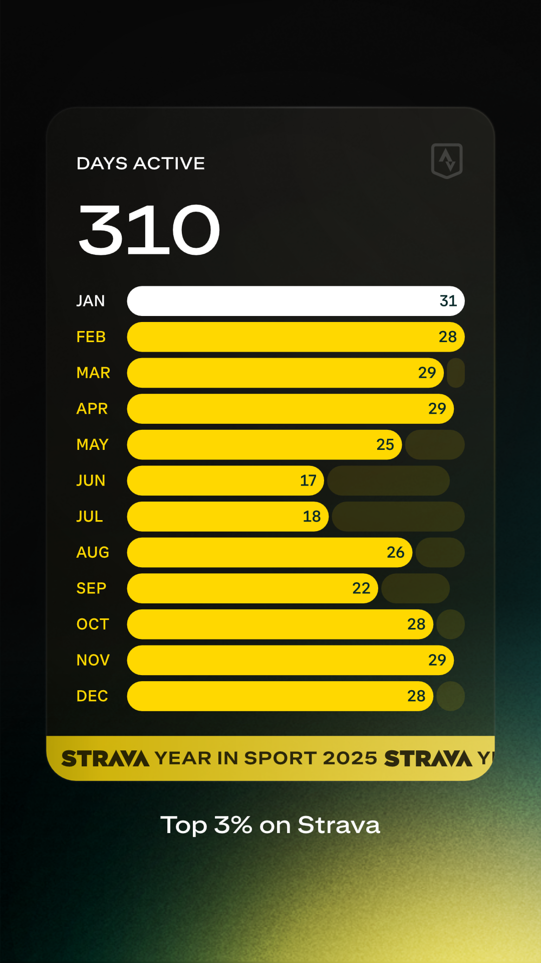
That’s 17 days less active than 2024, if anyone is counting! After Barkley in March, I did need a break, both mentally and physically, and it showed in my training. Next up is 498 hours, and that was 33 hours less than last year!

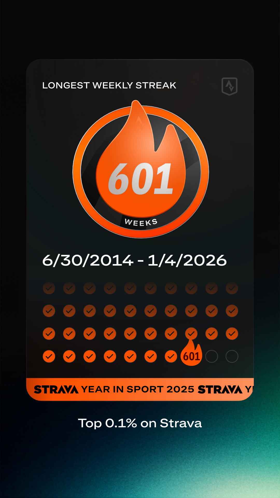
I’m not sure if the next one shows anything other than I’ve used Strava for a long time:
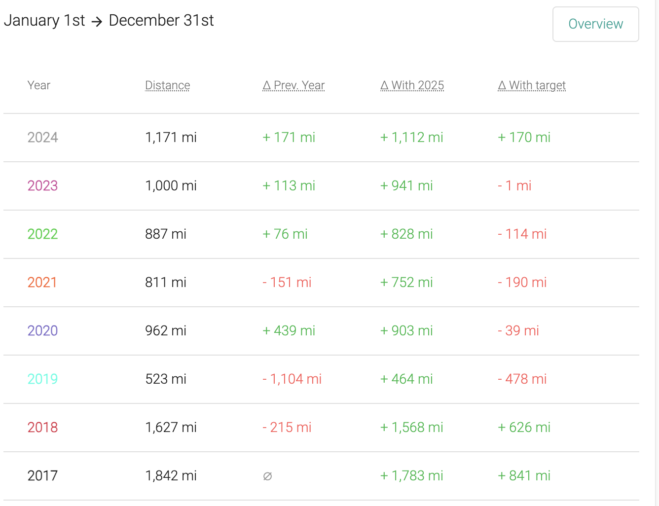
And finally the summary – which shows almost 700 miles less than 2024, which I find a little odd — other than I rode my bike more that year?
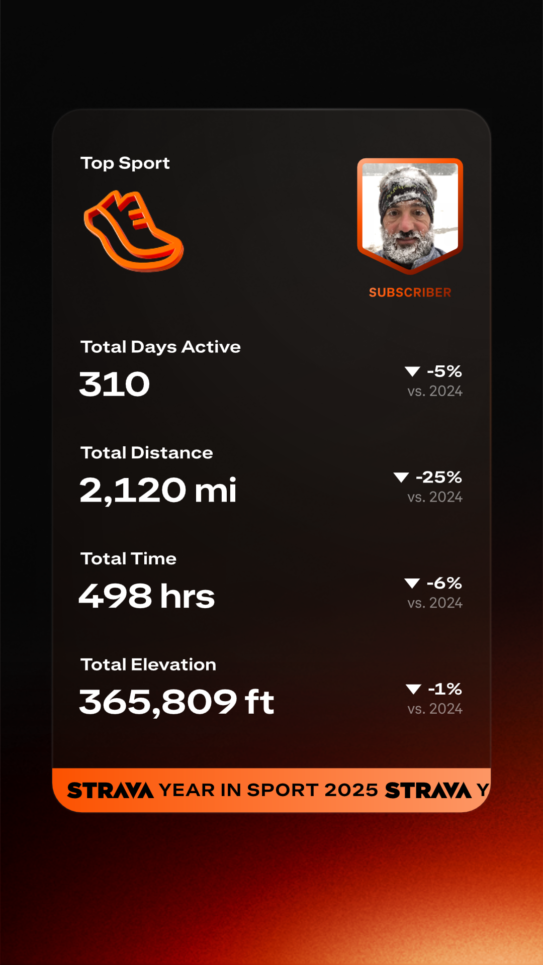
The big one is the 365,000 of elevation — that’s back to back years of reaching that milestone!
I guess in early 2025 I didn’t write much about what I was thinking training wise for the upcoming year, and I looked back at 2022 and 2023, and see a little…
I can say that 2025 was far too little strength training, and I really need to get back to that. I can say the same about mobility work – it has really fallen off and I need to up my game there. I’m feeling it more now that I’m 55. I think I’ll combine mobility and strength numbers on Strava — there’s not a good separate breakout that works well with Garmin, and I tend to do them together anyway.
Beyond that, I’ve also been thinking a lot bout Nassim Taleb’s tweet here:
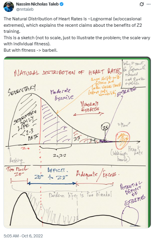
And reading a lot of Alan Couzens, who recommends 1000 or more calories burned per day during exercise. At low intensities (he’s big on zone 1 and low zone 2), that’s a couple hours per day. I’m not sure I can find more time to train, nor if I want to, but perhaps I can be more active in every day life, outside of training, while still maintaining ~500 hours per year (*). And more active throughout the day is what Taleb is getting at — most of us who train for big events tend to be pretty inactive outside of training, whereas historically, active humans were active for much longer periods each day.
(*) I’d note most weeks I’m in that 6-10 hour range, but then I’ll have 2-3 very big events per year — 12-24 hours, as well as a 4-6 hour training session once a month — that’s where the 500 comes from.
Garmin shows the following active and resting calorie burns for last year — yes I didn’t grab this on Jan 1 so it’s a bit of off for the calendar year, but it’s close enough:
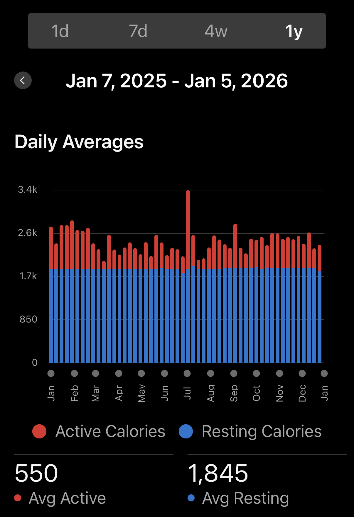
First, I’d note that when I had a Whoop, it showed I was burning 3-4k per day (active and resting), so there’s a huge discrepancy there. Calorie counting tends to be like that — a device might be as much as 10-20% off. But it’s the trends that matter. The big jump in July in the image above is the 7 day/100+ hike/run around Mount Blanc.
So this shows an average of 550 active last year, and my goal this year MAY be to get significantly higher than that. I say “MAY” as I’ve just started tracking this closer the last couple weeks, and I already see some issues… For example, tread hikes on the treadmill calorie counts seem to be dramatically lower than they should be, while runs on the treadmill are just fine. It appears trainer rides on Zwift transfer to Garmin well. So I’m still exploring how this all works, and it’s hard to set a goal until I have a better understanding.
But at a high level the goal is to be more active throughout the day, while still training like I have in the past. That may prove difficult with my desk job, but I’ll try to throw in more “exercise snacks” during the day, as well as more walking in general (on top of “training.”)