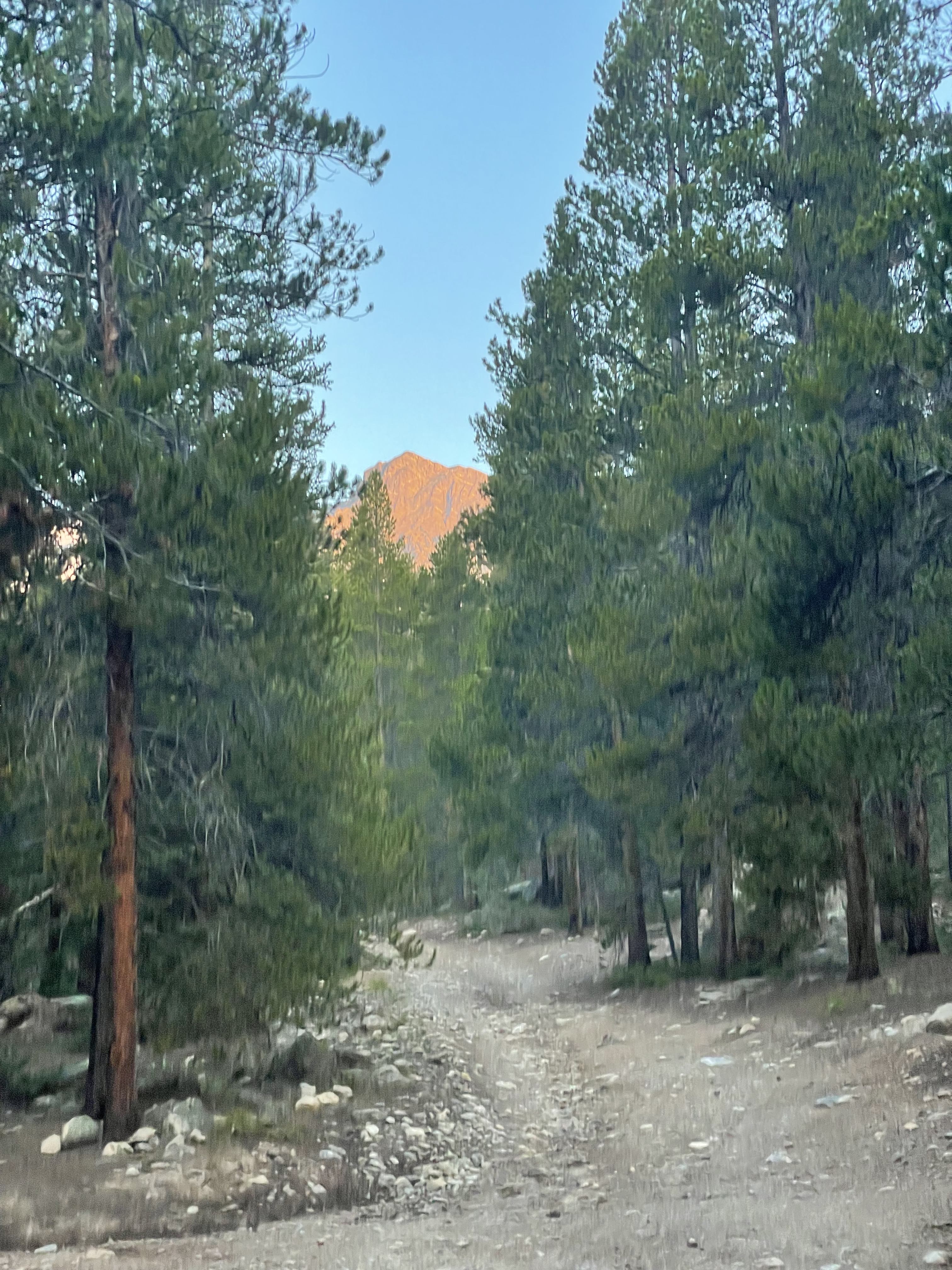
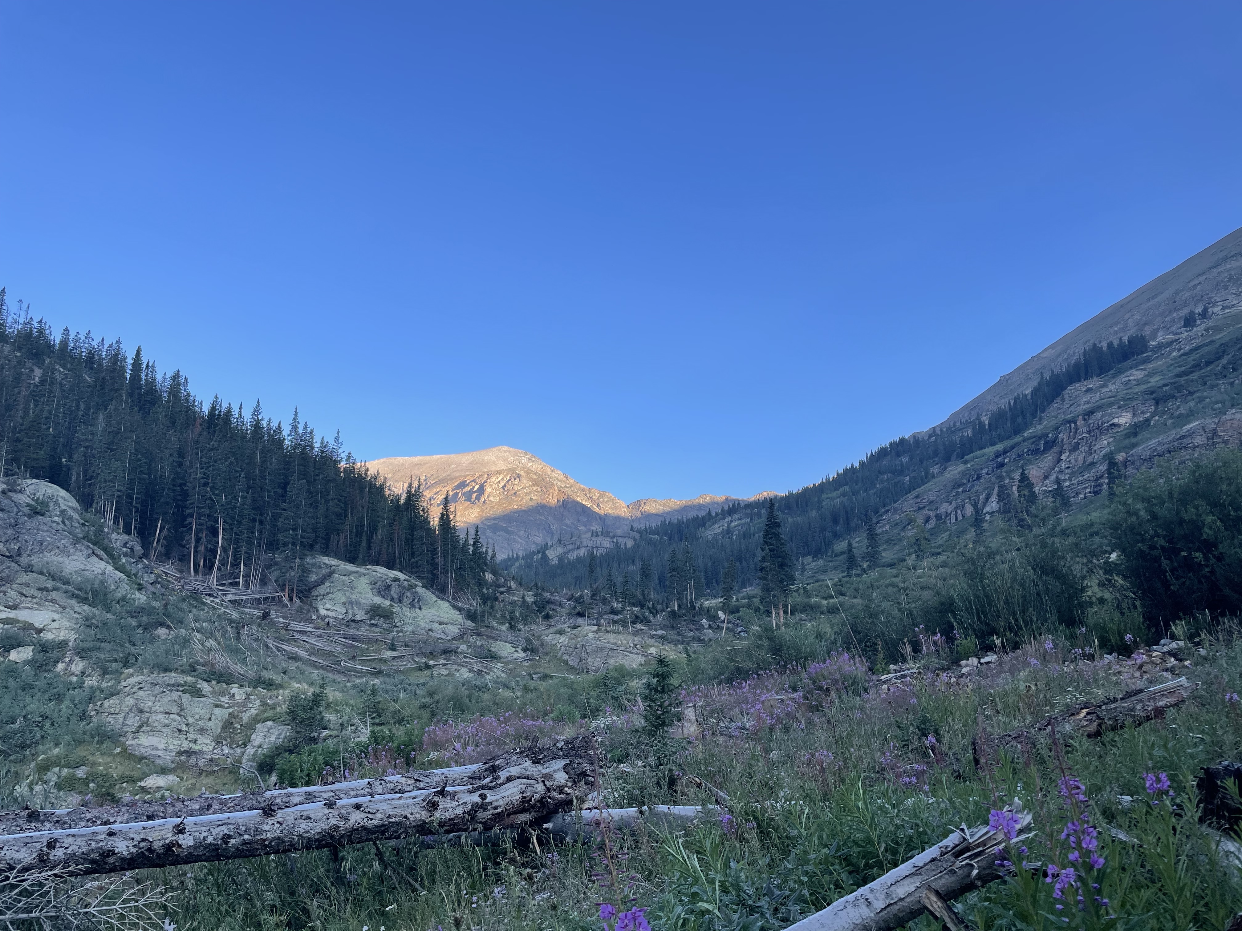
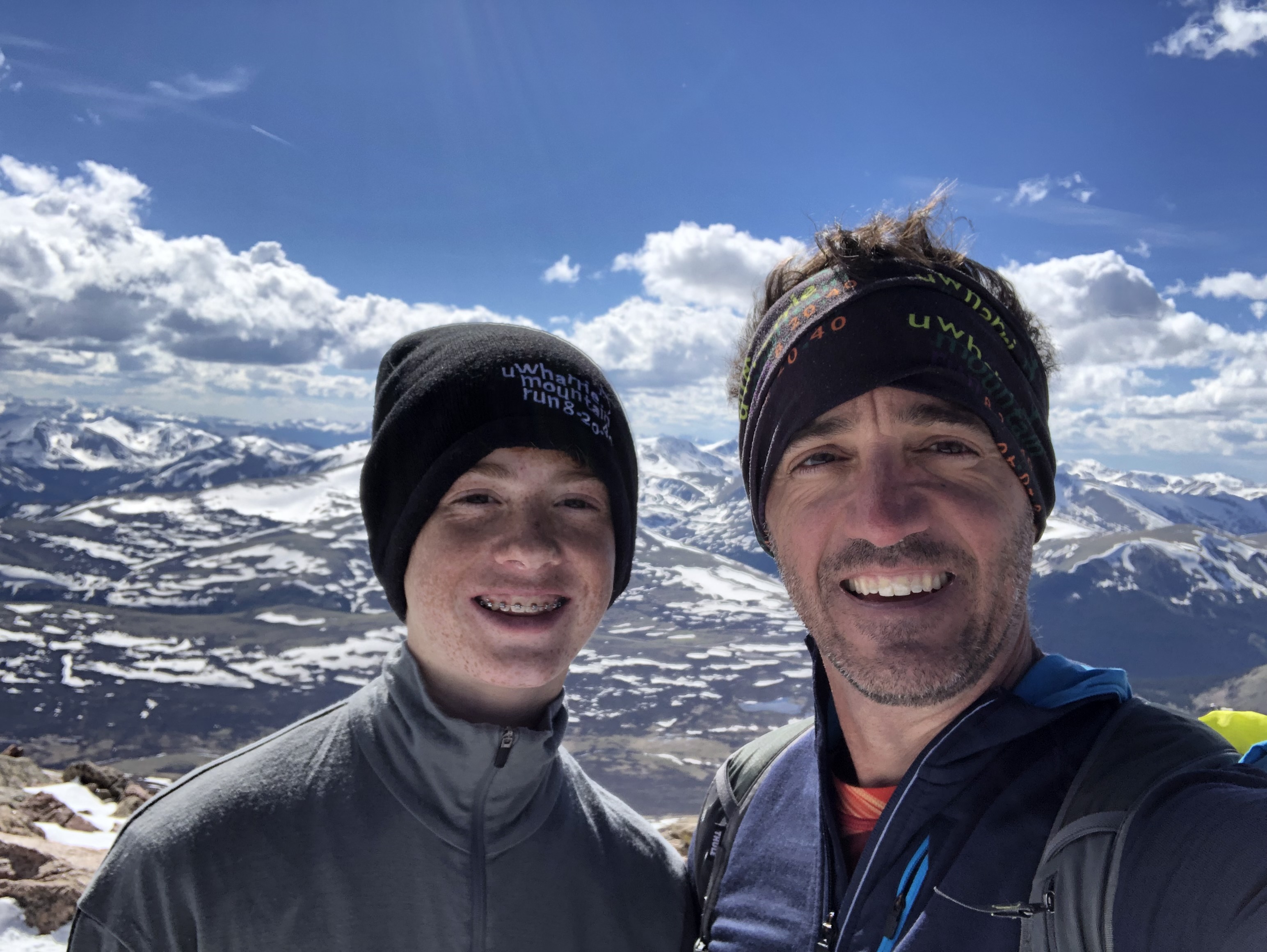
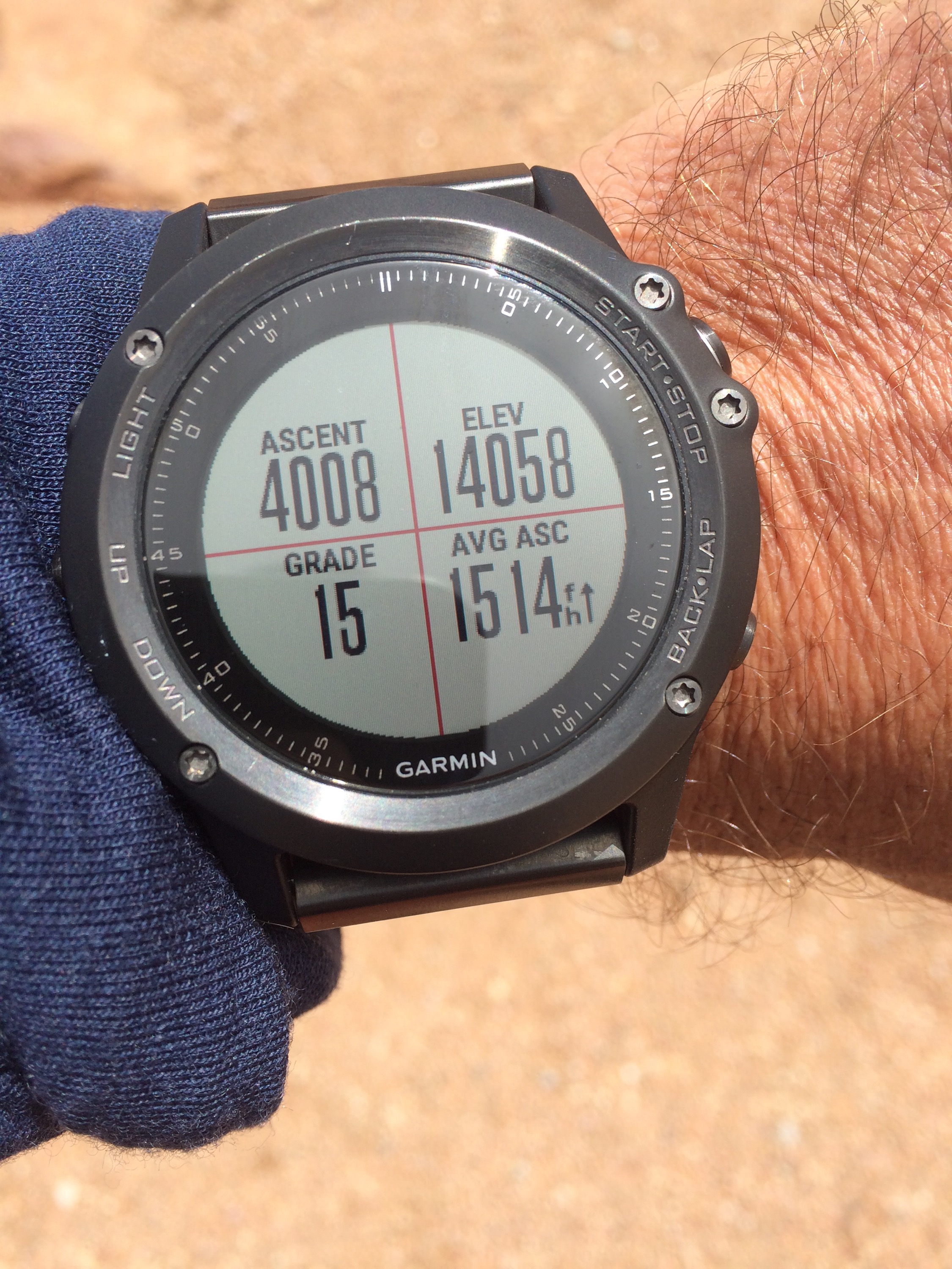
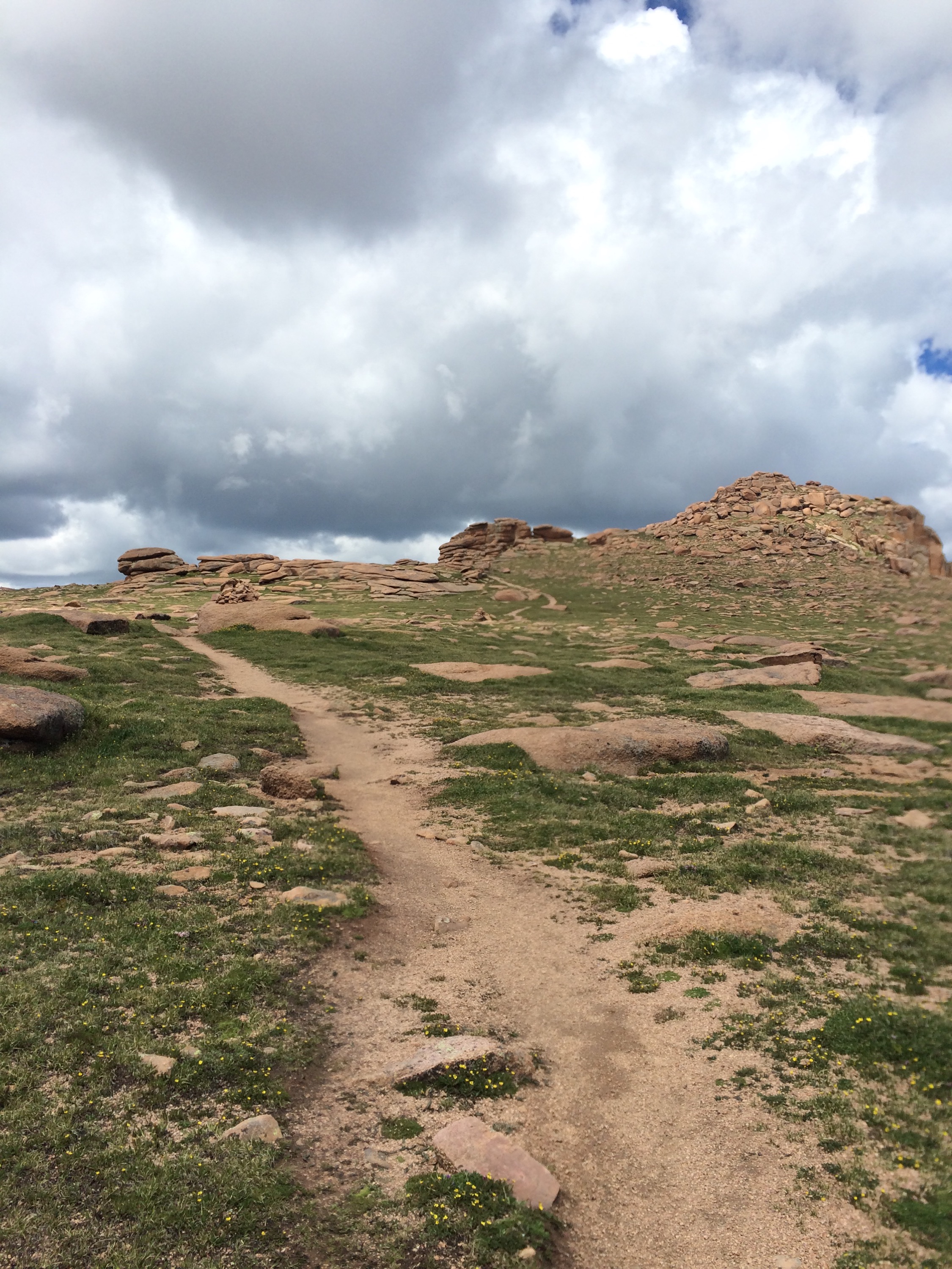
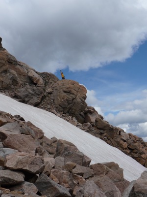
We got Jase to the start line of the Leadville 100 at 4 a.m., had coffee, met some old friends, and then headed to Mt. Massive. I was slated to pace Jase from 87-100, so had a lot of time. Why not get in another 14er? One problem was that the road to the trail head was closed, so we had a long lead in, which we jogged and walked and talked. We ended up coming down the shorter way, but we still has a 16 mile, 6000′ day! And that put me up to 32 miles and ~ 15k of climb in just 3 days! I felt pretty strong on all of this, especially the climb (even though it is slow-mo after 13,500), but was a bit slow on the way down… This was the highest I’ve been to date at 14,421′
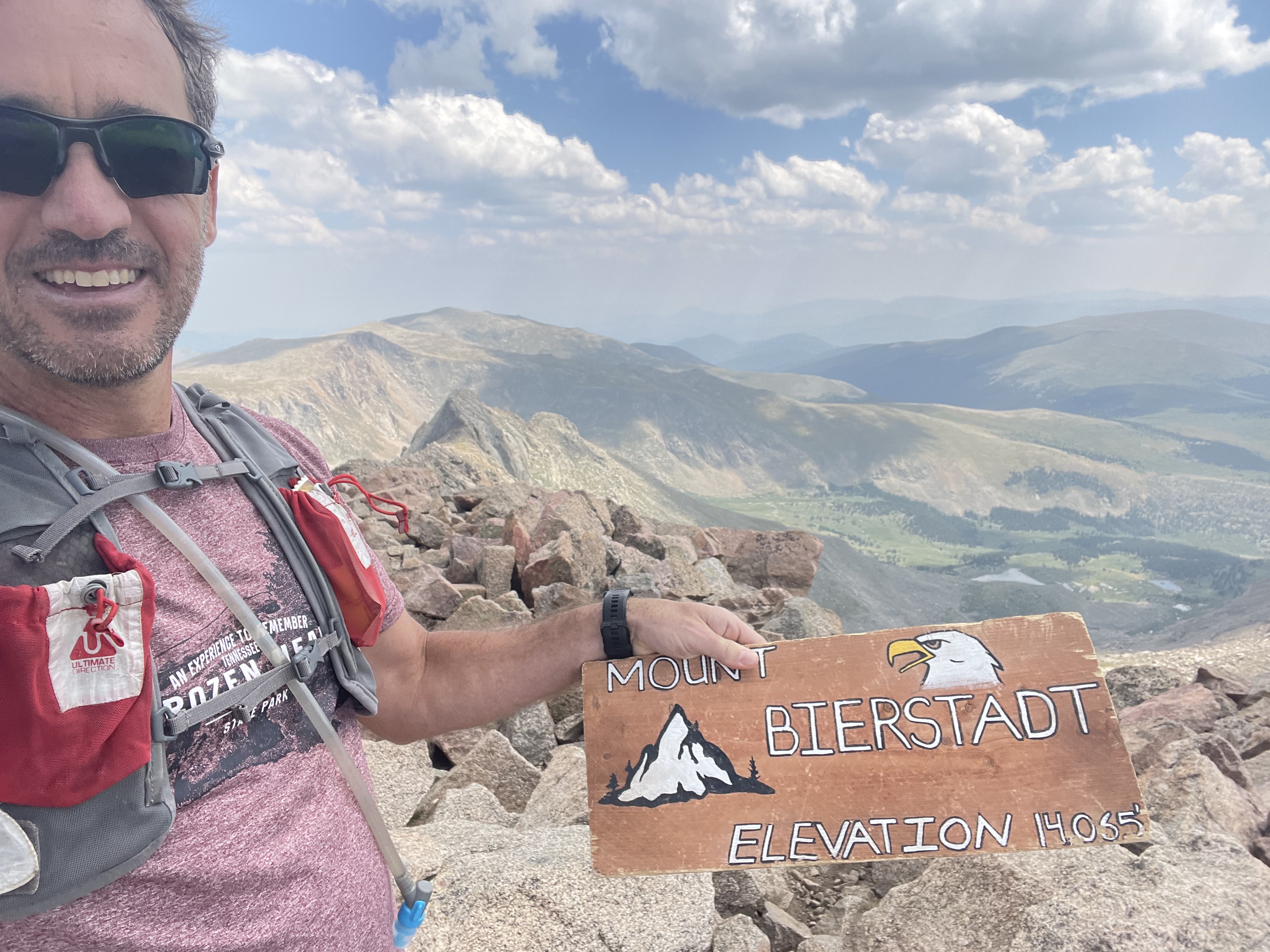
I flew out to CO to help Jase out at Leadville, and got there a few days early to hang out with Ben and Karrie and family. Since I had a day were they were all working or at school, I headed out to Bierstadt. I hit the climb pretty hard and ran down a fair bit, but the altitude finally hit me on the last mile which is relatively flat. Had to slow way down as I was at the edge of bonking! Once I stopped I was fine, but just shows you that hitting a 14er less than 24 hours from coming from sea level is always hard. :-). I’d note that I climbed Hope Pass the 2nd day, and Mt Massive the third day, and did much better!
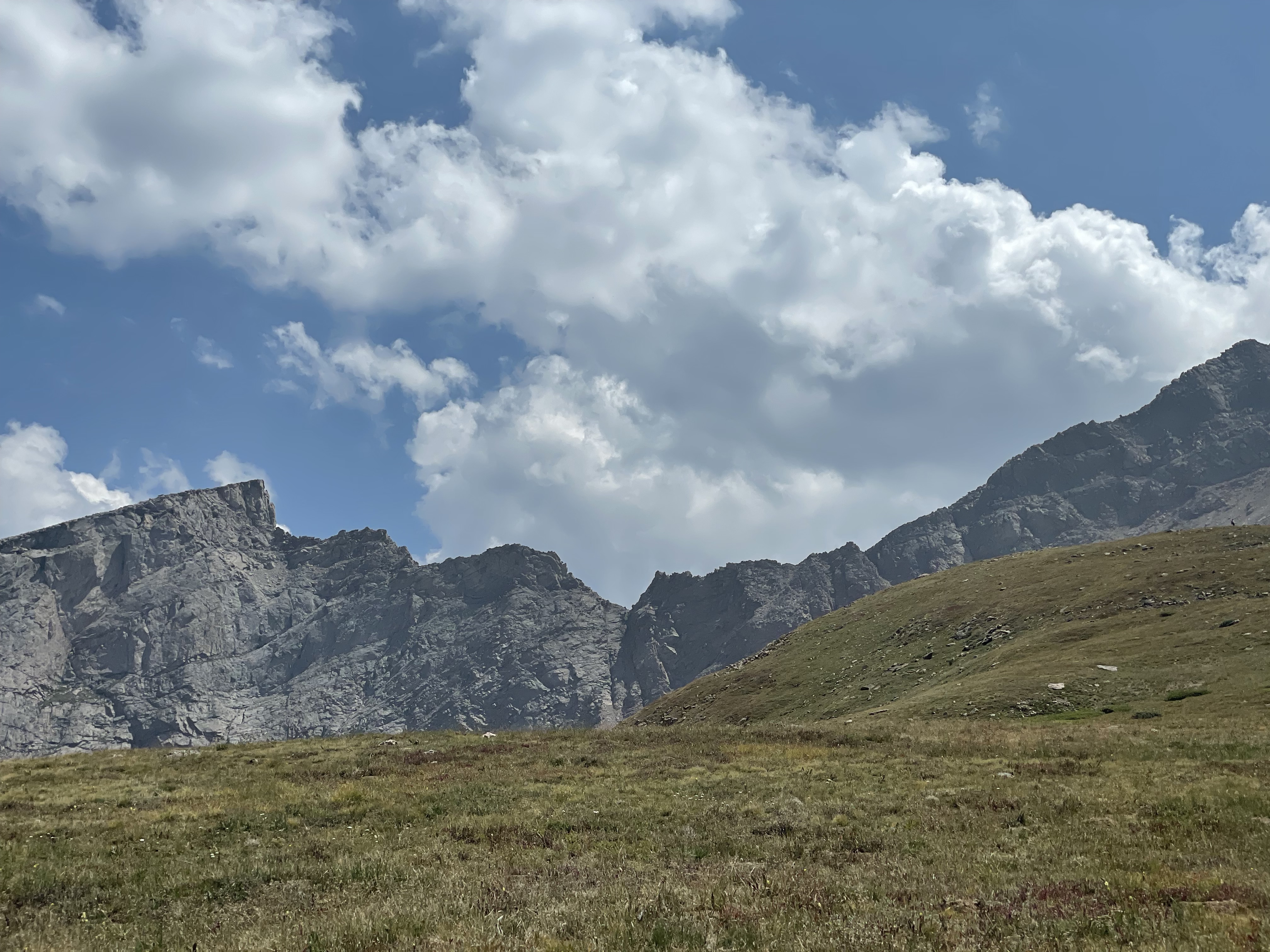
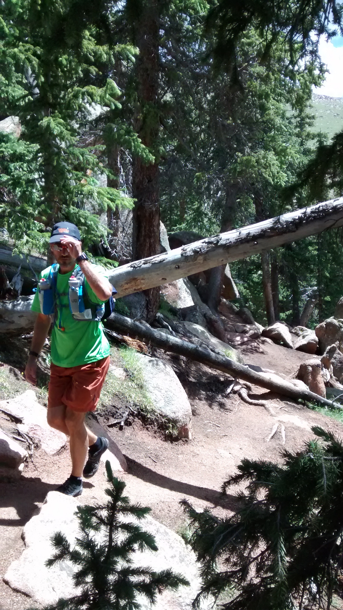
Not many photos as I was solo and have summited this peak a couple times already.
Ok, almost 2 years late, but I realized I never shared anything about this 14er, and in the interest of documenting them all, as well as just having started to track (google sheet link), here’s a quick post…
Reece and I flew out to CO for the Man Maker project — a 5 night canoeing trip on the Green River in Utah — and we had a couple of days before heading that way. Reece wanted to see snow, so we originally were going to a 10k peak, but on the way (Evergreen?) decided to take a chance on Mt. Bierstadt and his first 14er (age 13 at the time). We had every intention of not summiting if it wasn’t the right day since we weren’t super prepared, but we made it up and down safely.
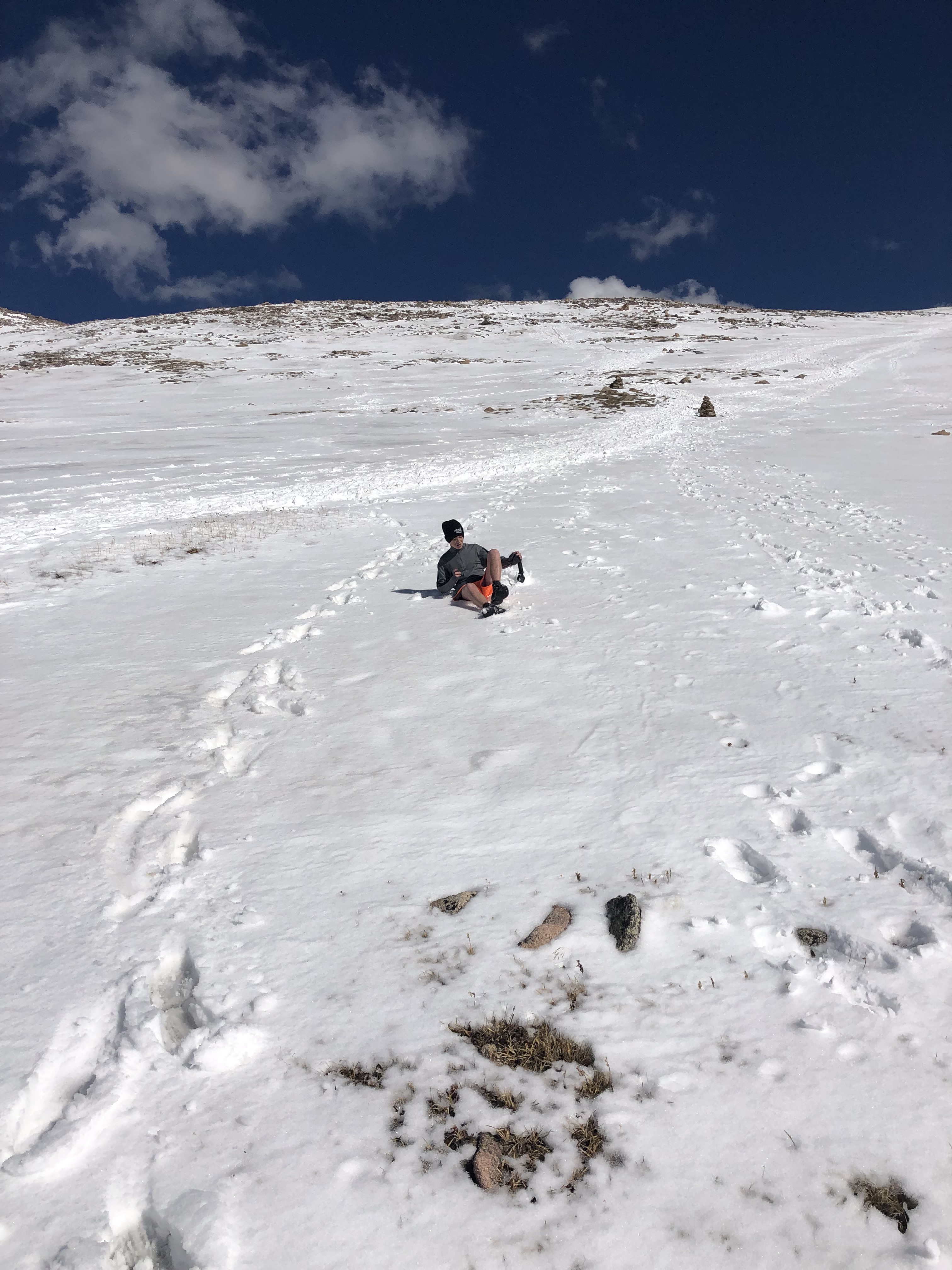
Reece was super strong on the way up, and I warned him that it would only get harder! But he kept pushing it, until about 13,500, where it always becomes slow motion, at least for me. We were early in the season so there was still A LOT of snow up there! And we were a bit under dressed and didn’t realize how cold it was until we got to the top. We both started shivering as soon as we stopped climbing, so only stayed a few minutes before heading down.
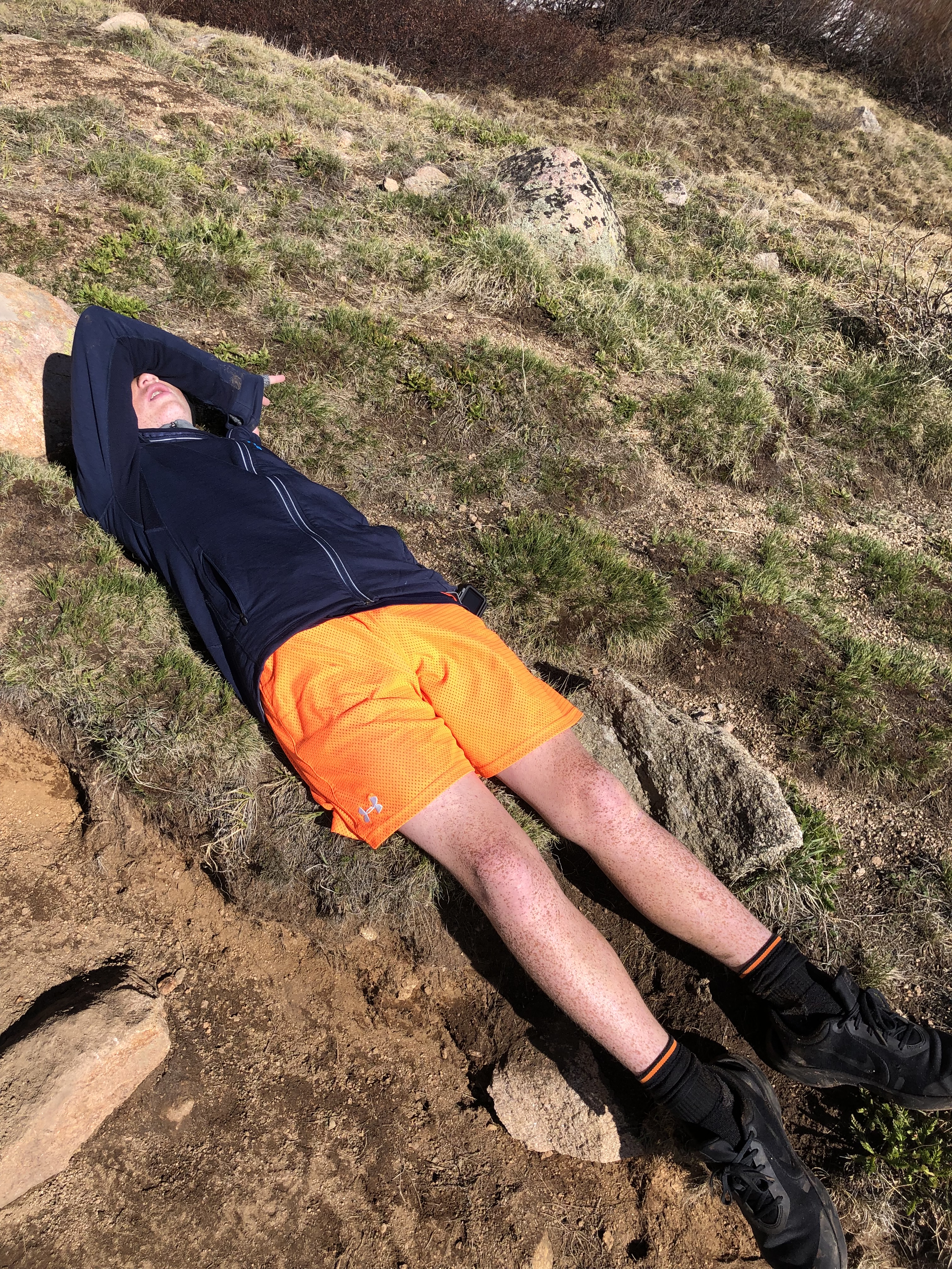
And that is when the altitude and the effort hit Reece! I’ll let the photos do the talking for that, but will say that I did have to carry him home some of the last mile.
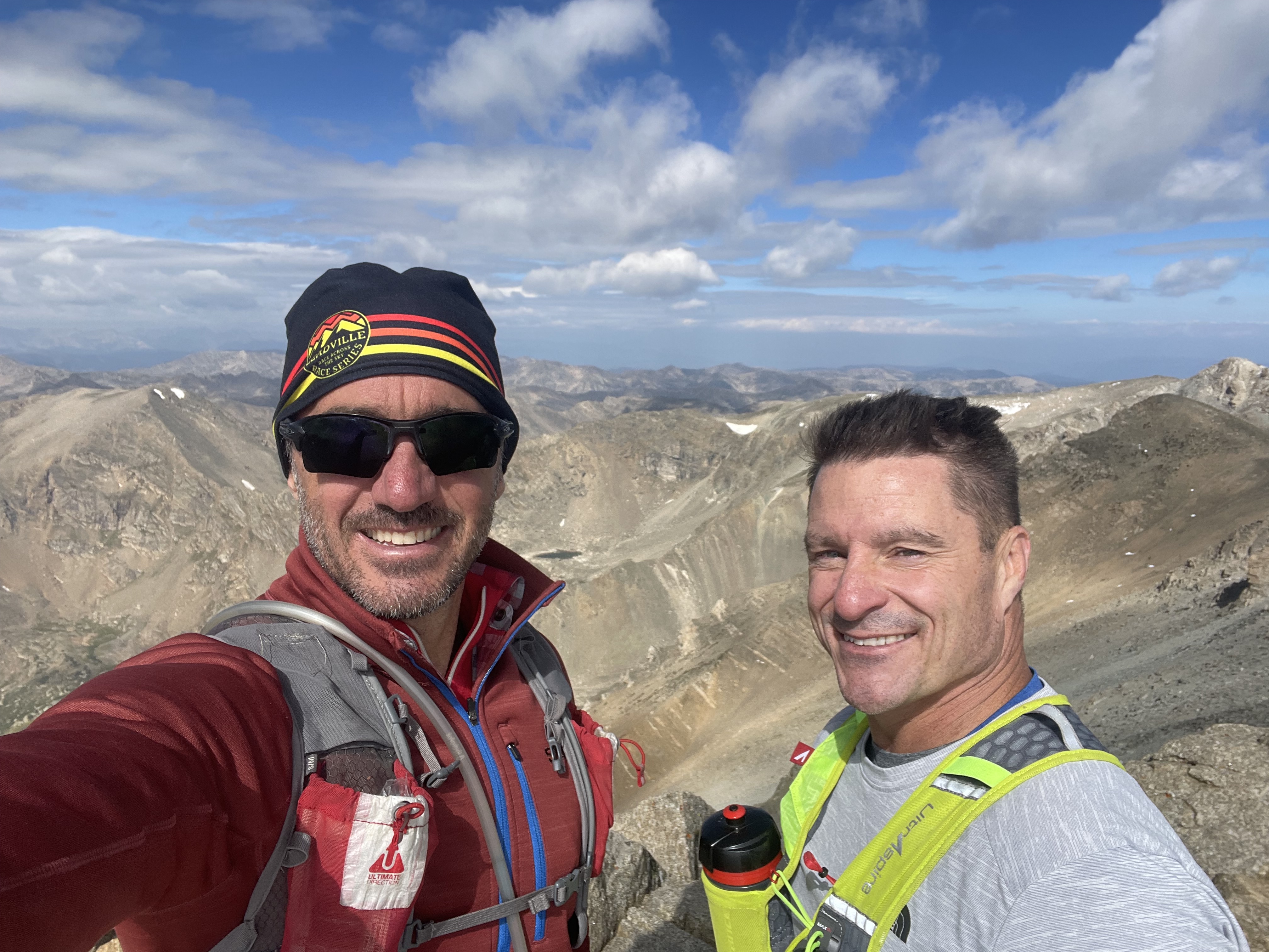
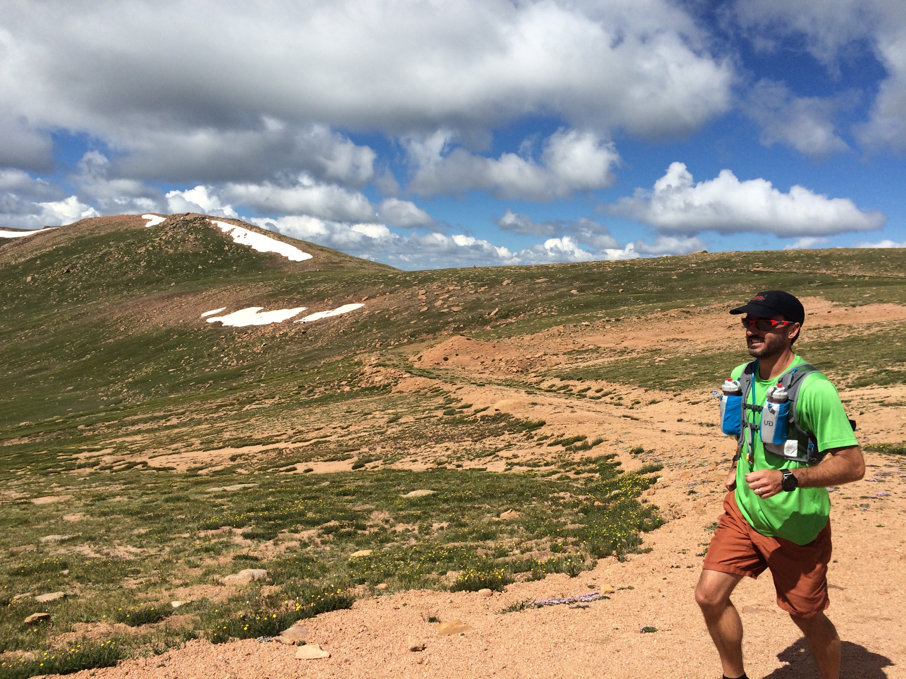
When in Colorado in July or August, I always try to squeeze in a 14er… I hadn’t done Pike’s yet, and hadn’t seen Gordo for two years since he paced me through Leadville… We got a bit of a late start, as Ben was on call until 6 a.m. and had a call come in that kept him up until 2, but eventually we were on the road a little after 7, picked up Gordo a little after 8, and made it to the trail head around 9 a.m.
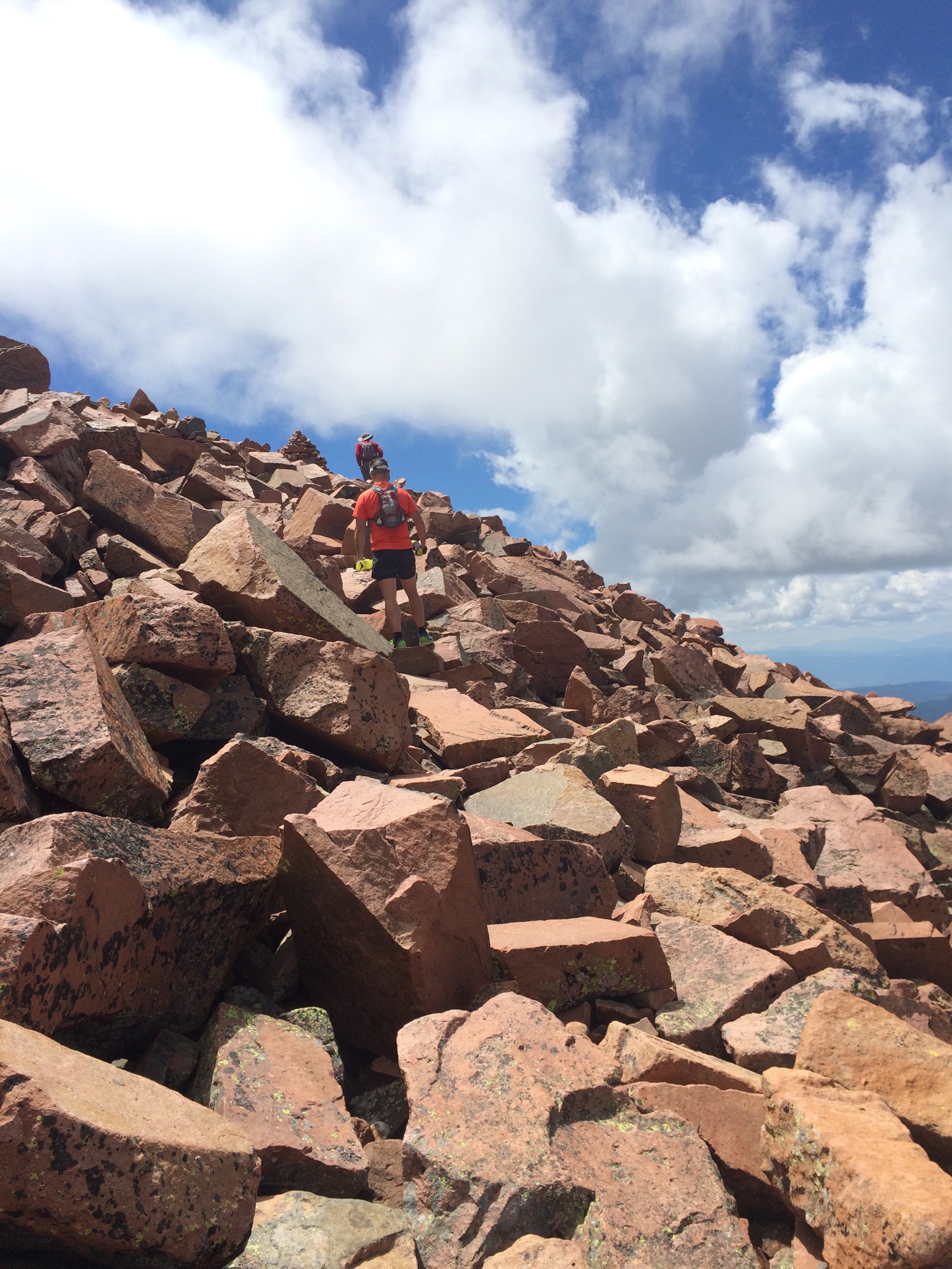
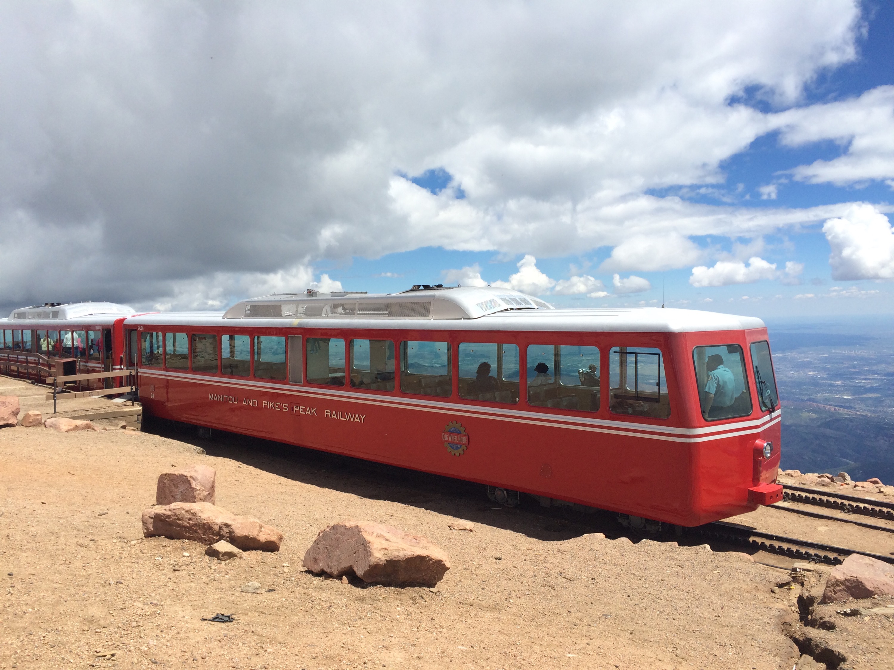
This was going to be stout — 4300′ in 7 miles up, then back down. This just 2 days after the 20 miles Ben and I put in at an average of 11,000 ‘ over in Breck. But there were donuts waiting at the top! Pikes is one of those mountain summits that has a road to the top (as well as a train!), along with a gift shop, deli, etc. But we heard the donuts were good and were determined to earn them the hard way! 🙂
(I did need to excuse myself from the mass crowd inside the building at the top — there’s something about big crowds in places like this that I get a bit agrophobic… Big crowds in big cities or stadiums, etc., never bother me, and “phobic” isn’t really the right word… But I guess there’s something I don’t care for about such close proximity to 500 or 1000 other people in settings like this. :-/)
I’d have to say this was my strongest 14er to date… I was feeling it on the 1st steep pitch up to 13,000’ or so, but there there’s a mile and a half flat/gradual ascent section before the final pitch, and that gave me a chance to recover. The final pitch of all my prior 14ers have been a slog, but I felt pretty good on this one. We arrived at the top roughly 30-45 minutes faster than I had expected!
I’m in CO trying to acclimate for Leadville, trying not to over do it during the taper, etc. I’ve been trying to do some “runs” where I get some elevation higher than where I’m staying this week, which is 6100′. Next week we head up to Twin Lakes which is closer to 10,000′.
As part of that, Lucho agreed that a 14er at moderate effort wouldn’t be a bad idea. It worked out that Gordo, who’s going to pace a segment or two for me in Pb, could drive up from Colorado Springs. He reached Ben’s house at 6:00 and we took off a few minutes later.
Ben and I had done this trek last year, so I knew what to expect. A relatively easy (though there are no “easy” 14ers) trek up to Gray’s and over to Torrey’s and back to the parking lot. Last year this was my 3rd and 4th 14er in three days, with no real time to acclimate. So I was tired from the prior two climbs and sucking air in general.
This year was just day 3 in CO, so definitely not acclimated yet. But overall I’d have to say of the 12 times I’ve climbed a 14er, these two felt the best. It was only on the last pitch up Torrey’s, which is quite steep, that I needed to stop very 25-50 steps to pause. But I never had any dizziness or light headedness, so that’s a good sign.
Strava data, where you can see pace, elevation, and HR data, is here:
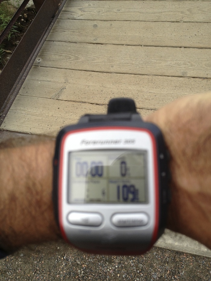
The bridge right out of the parking lot – that’s Ben and Gordo already leaving me in the dust:
Hmm, HR already 109 and I’ve not even started running (hiking) -what’s up with that?? When we got out of the car in the parking lot, it was already 85-90, which I thought was odd. In hindsight, I think it was Gordo’s driving — passing other cars on the approach road (a single lane, nearly 4WD only road!). 🙂
However, even after the run during lunch, my HR was 80-90, which was odd. And it remained higher than normal the rest of the day. Today it was mid to upper 50’s, which is maybe 5 BPM high. HRV was a good dip below normal though, so today will likely be an off day!
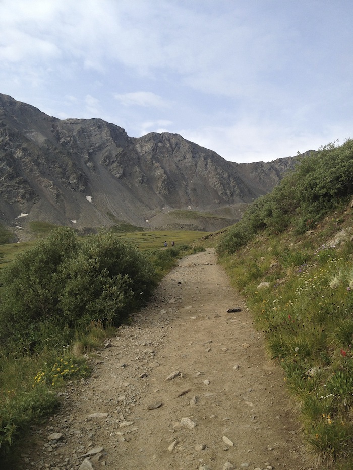
There are Grays and Torreys in the distance!
The trail is wide and easy, here. It would become very steep, rocky, and technical shortly thereafter.
Looking back down the trail we had come up. It was quite crowded for a weekday!
Looking up…
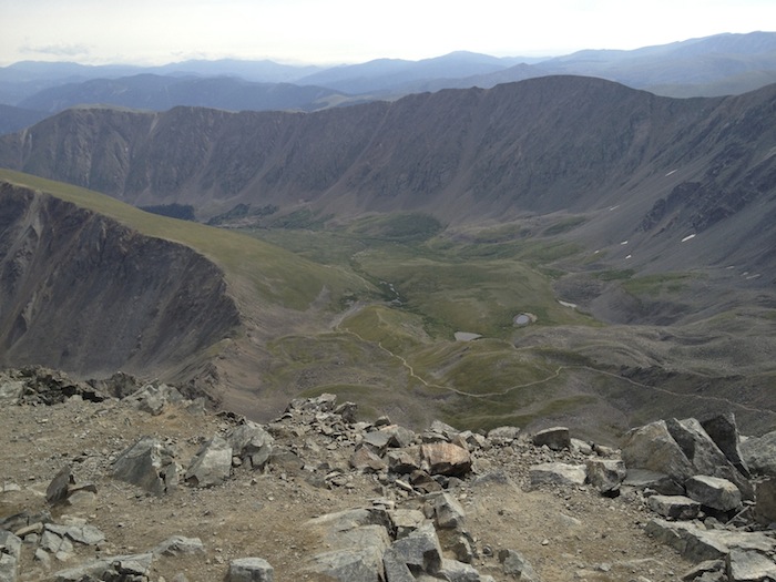
From the summit, looking out.
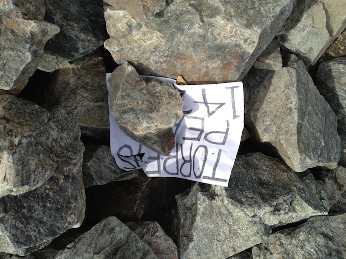
Someone had left this sign so we had to get a picture. 🙂
From Torreys looking back across to Grays, which we had just descended.
Another sign, but I was too lazy to pick it up. 🙂
Looking out across the valley we had hiked through.
After two 14er’s in two days, why not try to knock out two more on my last day in CO? Ben and I met at about 6:00 a.m. at the bottom of the approach road to the parking lot to Grays and Torreys, and I jumped in his car for the trip up the fairly unmaintained road… Well, on the way down there was a road scrapper working on it, which was a good thing as the ascent and a pretty sketchy section were many people opted not to park. In the FJ Cruiser, it wasn’t too bad. When we did make it to the parking lot, there were several other cars there so we weren’t the only ones that took the gamble. 🙂
Ben had recently run this route — twice in one day — and done the 1st loop in 2:38. I was thinking anything under four and I could still have time for lunch, a shower, and time to get to the airport! I was feeling pretty tired from the prior three days — nearly 10,000 feet of vertical, much of it above 10,000′ feet! So I knew I’d be slow, but 2:38 would not be possible for me unless I had a lot of time to acclimate!
Here’s the elevation profile for what we were about to start:
The bridge at the parking lot that leads you to the trail…
First shot of Greys with the sun just coming up… The approach trail is relatively easy, and we ran a little of it, but as I said above I was pretty tired already so I needed to save some energy!
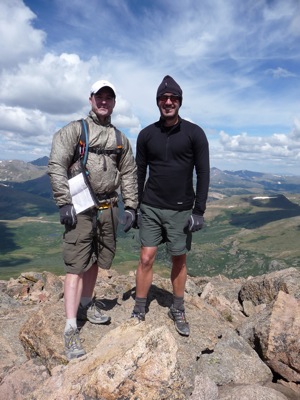
Me atop Greys:
Ben and I…
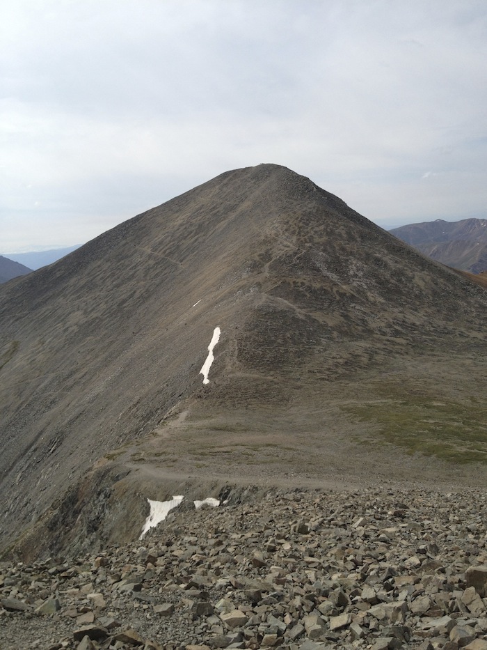
This is the trail up Torreys… It was steeper in real life!
Atop Torreys… Four 14ers in 3 days! (Yeah the record for all 54 is 10 days, so 4 in 3 is not that great. 😉 )
We hiked down the trail to the parking lot, started driving down, and asked a couple if they wanted a ride. They had a two mile walk as they had stopped below the washout — which had now been fixed by the road scraper! After that we headed to Idaho Springs for pizza and beer at Beau Jo’s… An old friend was in the area so she and her family came by to chat for a bit, before I had to rush off to shower, change, drive to the airport, etc…
After work was done for the day, I had a few hours to kill so thought I’d tackle another 14er — the 2nd in two days. Mt. Sherman was less than an hours drive away, so off I went…
After driving about 10 miles on a long dirt road, you start to go up an old mining hill. I parked about 11,500, well below the gate at 12,000, but it seemed like a good chance to get a nice downhill road run in for training for the Ridge To Bridge marathon in October. I quickly started climbing the hill and the reached the gate, and then continued up eventually coming upon several abandoned mining buildings.
This is looking back down the valley and the road I had just climbed..
The valley from just a little higher:
The last little ridge line is a bit sketchy… This was at 13,800′, and I really started thinking that 13,800 was good enough… This was about 4′ of solid ground in the middle, but both sides of that were scree — and 500′ drops (or more?) to your death. The picture really doesn’t do it justice to how precarious it looked! I’m not normally affected by heights, but this one was giving me a slight sense of vertigo..
Another shot a bit further up. I basically looked down at my feet and started moving. I was ready to turn back, but eventually made it up without any difficulty.
This is looking back down… I really need a person in there so you can get a sense of how narrow that ridge is!
The summit!
Me… There was no one up there to take a picture, so it’s just me… This was the quietest 14’er I’ve ever done. I only saw two groups of three all day…
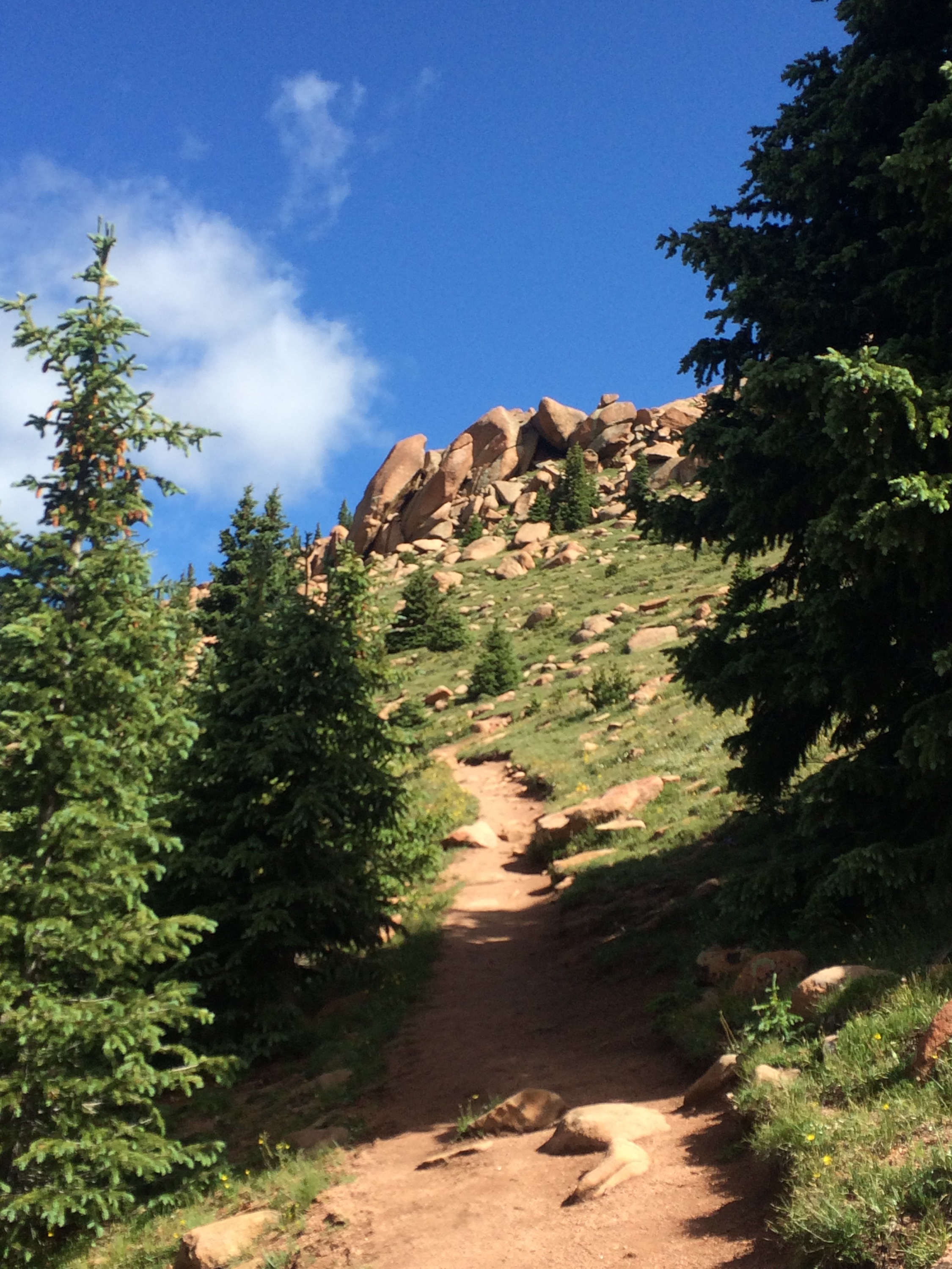
I was in Keystone CO for work and had the opportunity to hike Mt. Quandary a short drive away. I could not sleep so I was out the door a little before 6:00 a.m. and hiking by 6:30. While I took the photo below on the way out, this was the 1st glimpse I had of the peak a few miles from the trail head. I’d be hiking up that ridge line in just a bit!
Here’s the trail head sign… There were already 8 to 10 cars there — but there would be many many more when I left a few hours later… And a sign with the most obvious statement of all — “There are no easy 14ers!”
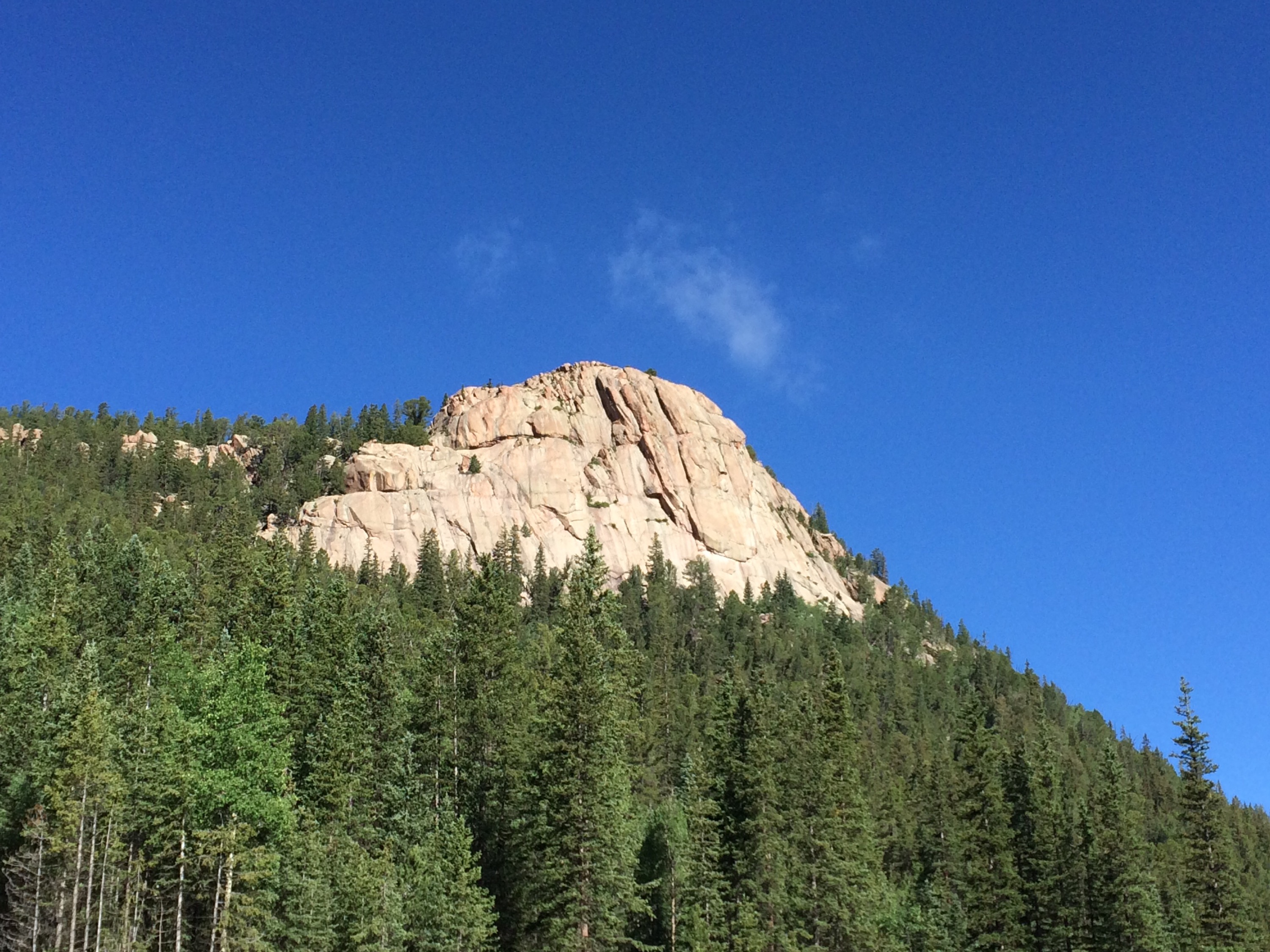
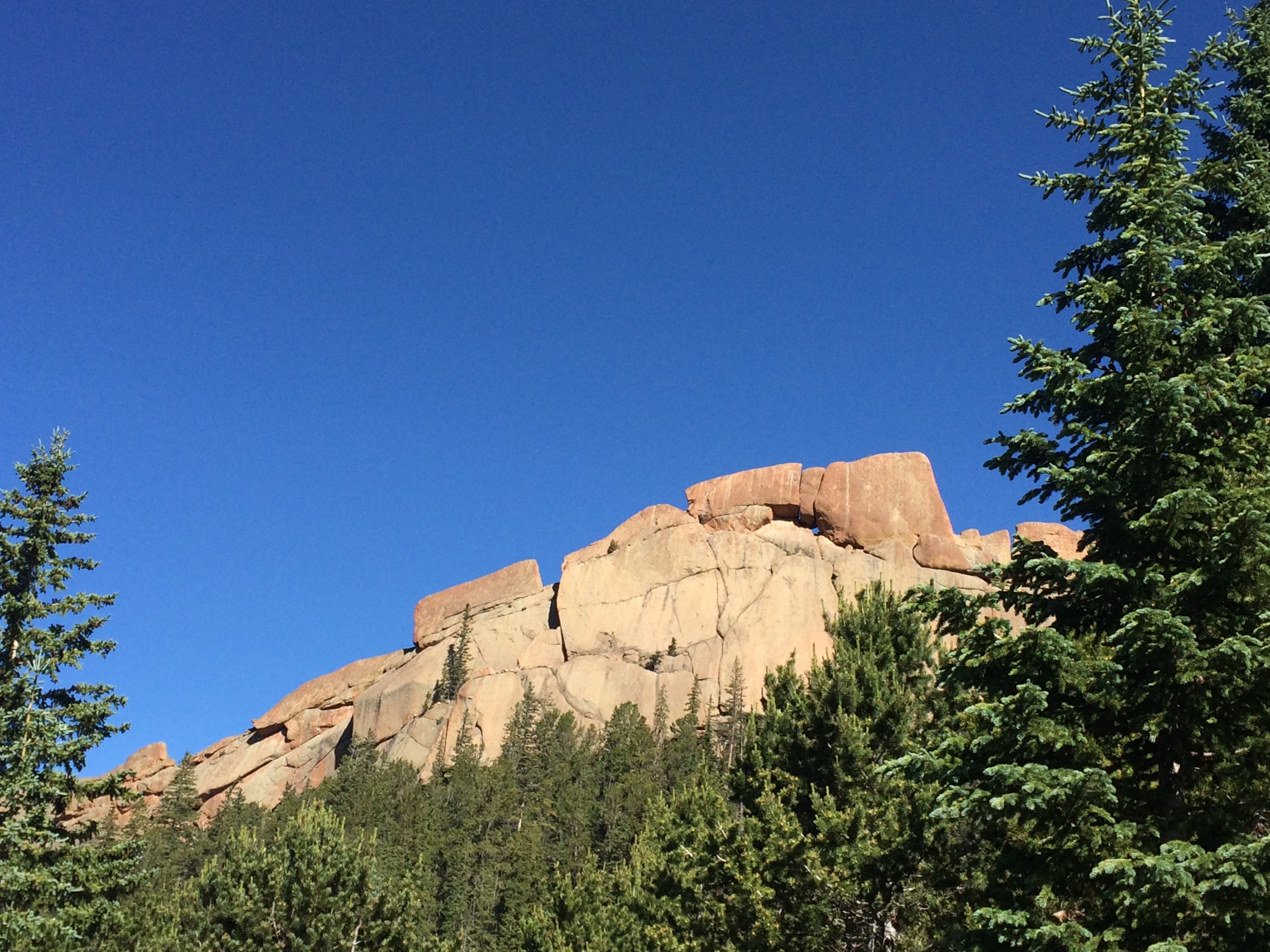
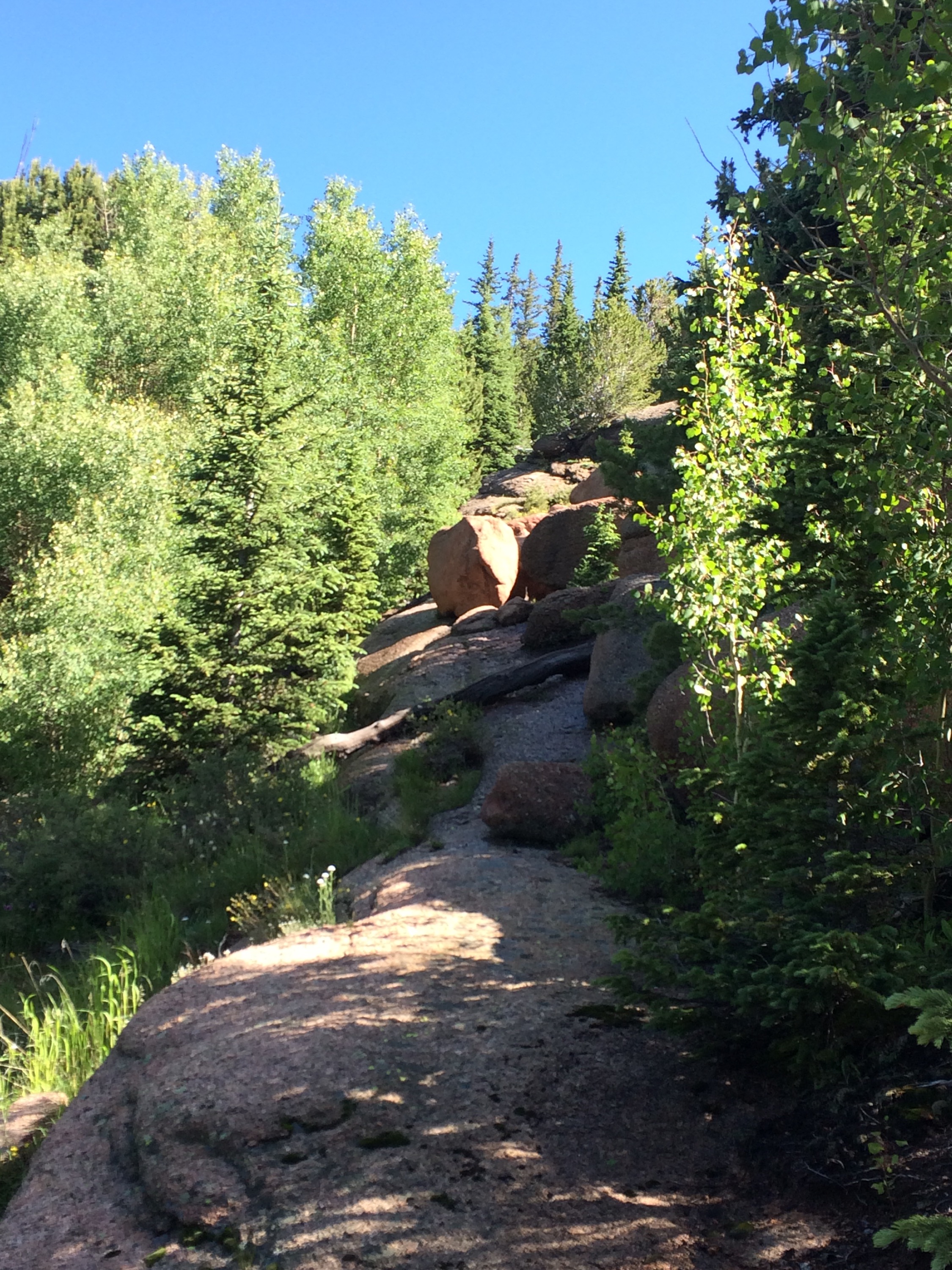
There’s not much to report so I’ll just put in some random images below. It took me about 2 hours 25 minutes to hike up, including the time to take photos along the way, chat with other hikers, etc. It was a beautiful day and, as always, big mountains don’t disappoint with the views! I’m always humbled by how slowly I move once over 13,000′! It’s like slow motion up there…
With a week long vacation to Colorado, I was excited to get another 14er or two under my belt. Not like I’ve done many — just the two last year — but they are a lot of fun and quite a challenge. My friend Ben had to be in Leadville later in the day (to pace someone in the Leadville 100, but he still wanted to hike with us!), so we looked for a peak in that area. It also turned out that my other friends Mike and Ethan, with whom I often hike the AT, were in the area as well– Mike has moved out there for a year to teach and Ethan was there for work. Together we decided to hike “The Quad,” a series of four 14ers you can hit in one go — Democrat, Cameron, Lincoln, and Bross.
As always, 14ers.com has the definitive guide with photos, routes, maps, and all kinds of other useful info here.
Ethan and I stayed at Mike’s house the night before. We awoke around 3:45 a.m. and hit the road so we could meet two guys guys in Colorado Springs, and head out to Kite Lake. Ben and Nicholas had left Highlands Ranch around 1:30 a.m. to go to the Leadville 100 race start at 4:00 a.m. He was to meet us at Kite Lake around 6:30, though he ended up not getting there until closer to 7. I had sent the other guys on as I figured we might catch them, since Ben would have to go fast to get back to the race.
There was quite a crowd at the Lake, and the route would be fairly crowded all day. I guess with the beautiful weather and the day being Saturday, lots of people were out.
I used the nifty RunKeeper app for the iPhone to track the route via GPS. I was out about 5 hours and this pretty much drained the battery, but it’s great to see the exact route taken and the profile/speed info.
And the profile:/speed info… That blip in speed around mile 5 is probably a mistake — RunKeeper has a GPS filter but sometimes things slip through. Either that or I decided to run a quater mile for fun. 🙂
From Kite Lake, Democrat doesn’t look too intimidating, but it was going to be quite a climb — 2000 feet in 2 miles:
Here is a view looking back towards the lake, after maybe the 1st 700-800 feet of elevation gain. If you look closely you can see a lot of cars in the parking area, but the road up to the lake was really full too. And you can see a lot of hikers on the trail below. There were probably twice that many above us already!
As Ben, Nicholas, and I were on the final approach to the summit of Democrat, we passed the other guys on the way down. The first shot shows how rocky the “trail” was, while the second shows the final climb.
The three of us on top:
I normally take a video on the top of each peak, and I did this time as well, but the peaks were all so crowded, with many folks on their cell phones and stuff like that, that it isn’t worth posting them.
After we descended to the saddle between Democrat and Cameron, Ben and Nicholas decided they better not push it and headed back to Leadville. With Ben having to pace someone later in the day, it was probably a wise decision, as the rest of the day was not easy.
This shot shows the long steady climb up Cameron… Towards the top of this, I was definitely feeling it! Though the rest of the day I felt pretty strong. I met the other guys at the top of Cameron.
Me on top of Cameron:
After Cameron it was a short hike down and up to Lincoln… The remaining 5 of us on top of Lincoln:
I was itching to keep moving (didn’t want to get cold) so I hiked up to the top of Bross by myself. It was really flat up there and again there were a lot of people. I started to hike back down as there was a split in the trail I could take to go back to the lake, but I met the other guys before that split, so hiked back up again, and then headed on down. There were sections of the downhill that were a bit hairy — super steep and mostly scree — so I took it pretty slowly in most places. The next few shots show the scree, steepness (though pictures never do justice!), and some old abandoned mines.
From the end of the trail, this is looking back the way we just descended:
RunKeeper shows it took me about 5 hours with an average pace of 1.5 miles per hour. While that seems slow, you have to remember how steep it is both on the way up and the way down, and that most of the hike is above 13,500. And I did take time at each peak to hang out (well, just for a few minutes).
It was a relatively easy way to bag four 14ers in one go, though no 14er is truly easy.
When we decided to head to Colorado to visit Ben and Allison, I knew I wanted to attempt a 14,000 summit. The highest I had ever hiked before was to 12,000. Luckily, Ben was up for it too. We decided to wait a few days after arriving so I could acclimate to the altitude and get a few workouts in and short hikes in with the family. He had me running at 6,000 feet a few hours after we arrived!
We had looked through 14ers.com to decide on which ones were close enough and interesting enough to attempt. At first we looked at Grays and Torreys but I heard that was really busy and fairly tame. We also looked at Longs but that was a bit far away.
We decided on Bierstadt (14,060′), even though Ben had just done it recently, because if I found it easy enough to get to the top there, we could keep going along the Sawtooth Ridge and make it to Mt. Evans (14,264′), and bag two 14ers in one hike.
The definitive route guide for this hike is here, so I suggest going there for a more detailed description of the route. The site 14ers.com has excellent photos with the routes marked on them. I wish we had taken some of the photos with us as it would have helped us make better decisions on which routes to follow.
We got a bit later start from the house than we wanted, and then were held up by construction on the road from Georgetown to Guanella Pass. (Yes, I know the light is green in the picture, but it was red for at least five minutes and changed to green right after we had yelled down to some construction workers about it!).
This is a view from the parking lot of Mt. Bierstadt on the right, and the Sawtooth ridge on the left. Evans is not visible here, but is behind the Sawtooth.
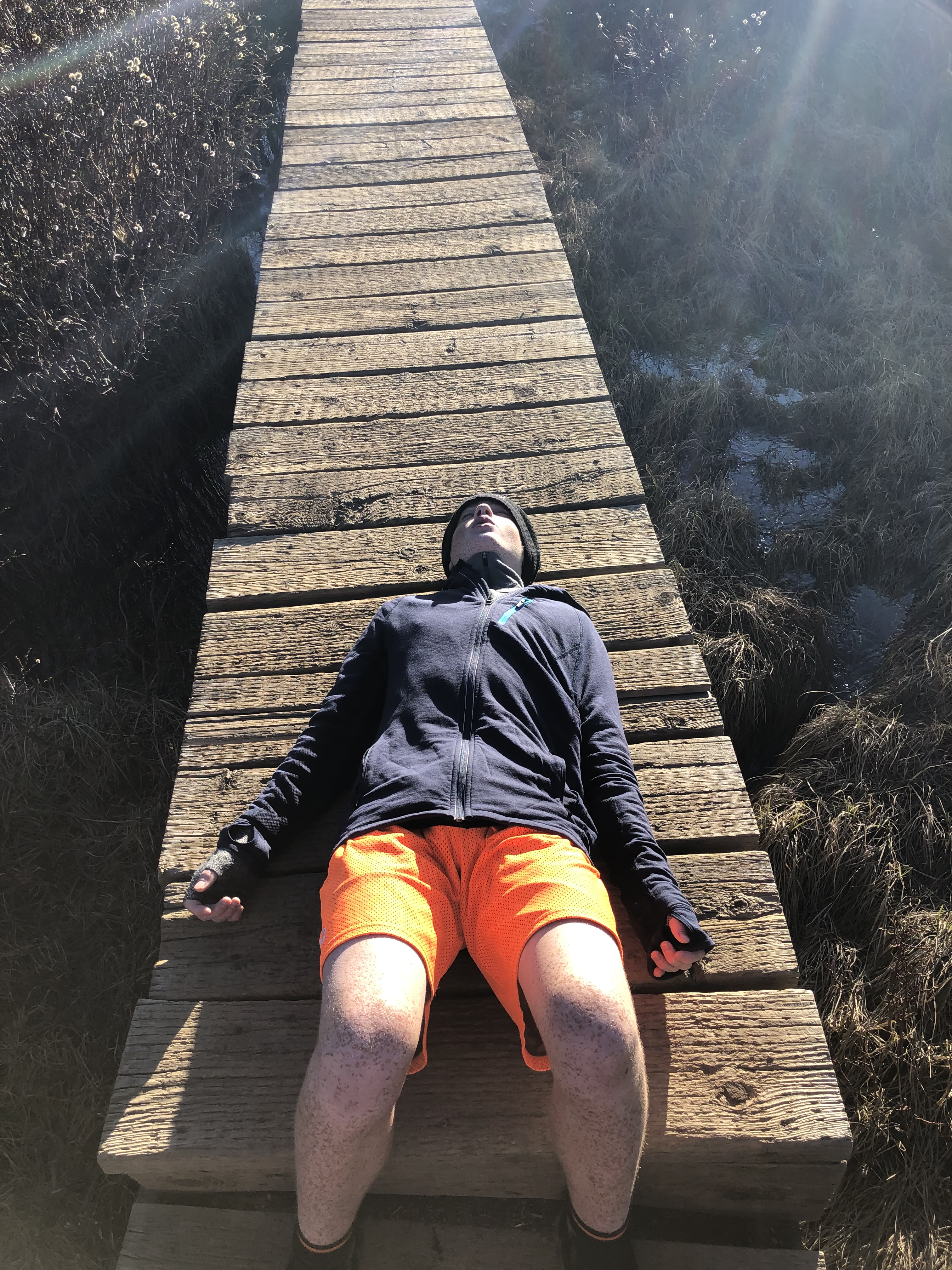
The hike starts off through a flat land that is fairly marshy, so they’ve built a board walk. Here is me on a rock in the middle of a stream crossing, with Bierstadt and Sawtooth in the background:
Near the top of Bierstadt, we were passed by this madman — no shirt, no water, no food. Most everyone else had on hats, gloves, and at least an outer shell! We ended up talking to to him for a bit when he was coming down, and he has climbed all 54 14ers in CO and has over 300 14er ascents! He just does it for fun — not training as an ultra runner or anything like that.
Bierstadt looks like a huge pile of rocks at the top — and it is. You can’t see the people in this downsized image, but they are tiny — so there is still a ways to go to the top from here!
And here we are on top — what a view!
Top of Mt. Bierstadt
If you watched the video, you heard that we still weren’t sure if we were going to go on. Physically I felt fine — no tiredness from the climb and no feeling effects of altitude yet, so that was not the problem . The problem was that the climb down from Bierstadt and then the Sawtooth Ridge looked a bit difficult from where we were. But once we started down, to “scout it,” we eventually reached a point of no return! Photos never do justice to the steepness, but this is me climbing down from Bierstadt towards Sawtooth, and there is Ben way up high. He chose a higher route than I did.
Here is a shot of the Sawtooth ridgeline… We eneded up going down pretty low by the three snow patches, before climbing back up through the notch to the far side. There were two people coming down behind us that we could see took the ridge line as the route an 14ers said to do. There were lots of cairns showing both routes, so you just need to make a decision and go with it. I think the way down was fairly fast for us, and then the climb up was not too bad, so I don’t know if it makes that much difference.
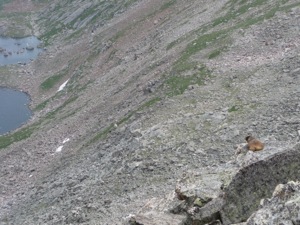
We saw a ton of wildlife on this hike — ealges, marmuts, chipmunks, a mountain goat, beavers, etc. Here are a couple shots:
Once we climbed up through the notch to the backside of Sawtooth, it got a little hairy. I was slightly dizzy from the altitude, and it started to snow and get windy. Plus, the path up the backside is a lot of scree, and the space between the rock wall on your right and the 1000 foot drop on your left can be as small as a few feet! (Well, I don’t know for sure if it is 1000′ down, but it sure looks like a long ways, and after a 100 feet or so, it doesn’t really matter!) I should note that the folks we talked to and the 14ers web page all say the pictures make this section look worse than it is, and that is probably the case. While anyone with a fear of heights should not do this section, it never seemed that bad. I was mostly worried about my dizzyness and the snow!
Here is Ben at one point where the drop is just in front of him.
Once you round the sawtooth, you head up the tundra to find the trail going to Evans. I don’t have any photos from there as I was pretty hurting altitude wise at that time, and there really wasn’t much to see anyway. (Well, there are of course beautiful views all around, but not really different from what we had already seen.)
Top of Mt. Evans
While on top of Evans, the two hikers that had come behind us on Sawtooth came up. Turns out it was two women, and they had a car close by. I was sorely tempted to hike down with them and get a ride back towards our car, but I gave myself some time to sit and eat, and then decided we could make it back on foot. The snow had stopped and the weather had cleared, though mountain weather can change fast, we felt pretty sure we could make it back to the car without any problems.
One note is that there is a road to the top of Mt. Evans, so there are a lot of folks up there that drove. I normally am not crazy about such places, but in this case, there are only two out of 54 14ers that have roads to the top, so that is not too bad.
On the way back we came across a mountain goat — he wouldn’t let us get too close:
We came down the tundra and followed the water to the gully, where the route told us there was a class 2 scramble down. This section was fairly steep and has a ton of scree, so each of us had a few slides and falls. One thing that is funny here is that when we started the hike and were looking at the possible return paths the 14ers.com route was describing, I pointed at one and said no way, too steep. Turns out that was the one we came down! At the bottom there was a gorgeous waterfall, and a lady had solo hiked in and set up camp down there. She was off in the distance a bit so we didn’t disturb her — but what an awesome place to camp.
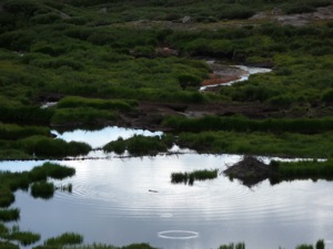
As we went further down, we came across beaver dams and even saw a beaver come out. The picture on the left has a beaver floating in the water (you have to look closely).
Just below the beaver dams, there is no set trail — it is willows and a lot of muck, and many self made paths trying to find ways around the muck. This section took us much longer than we thought. There were some sections where the willows were very thick and/or over our heads, and some of the muck was pretty deep.
We finally made it back to the car, where my altitude headache really started to make itself known!
There was an older man waiting for another hiker to come down, and he asked if we had seen him. We had in fact met him when we were on our way towards Mt. Evans and he was heading towards Sawtooth and Bierstadt in the opposite direction that we had come. We guessed it would have taken him longer to get to the parking lot at Guenalla Pass than it did us — at least we hope so! We had to leave before we ever found out.
We drove down and met Allison, Kelly, and all the kids in Idaho Springs and ate pizza at BeaoJo’s.
All in all, a great hike. I don’t know that I would do it again — mainly because there are so many other 14ers in CO that I would like to do and not that the Sawtooth section was that crazy. While it was a bit hairier than any hike I have done in the past – including the Grandfather Mountain Trail and even the class 2 scramble and 400 meter cable run on Half Dome, it wasn’t that bad. Definitely some class 3 in there, though, but mostly class 2.


