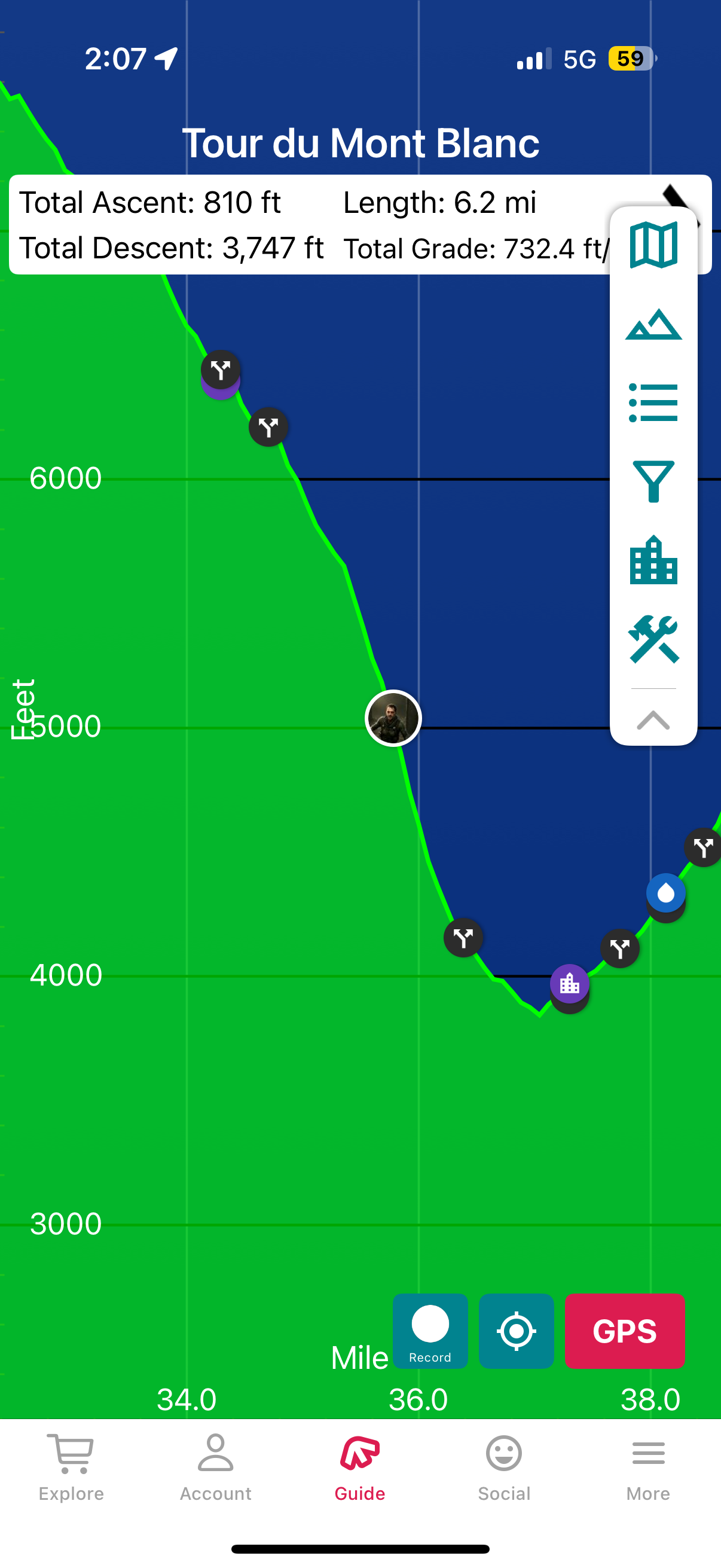
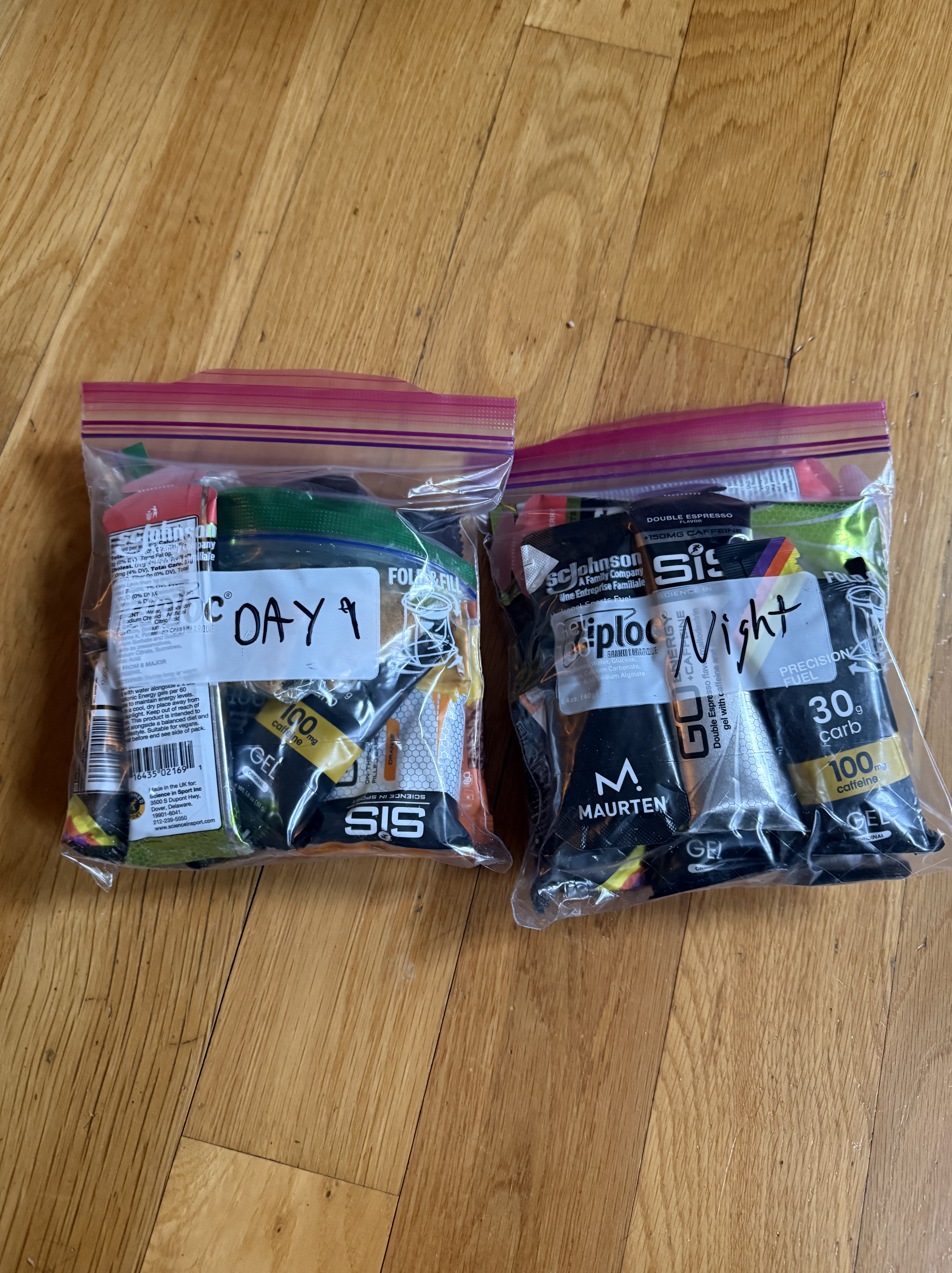
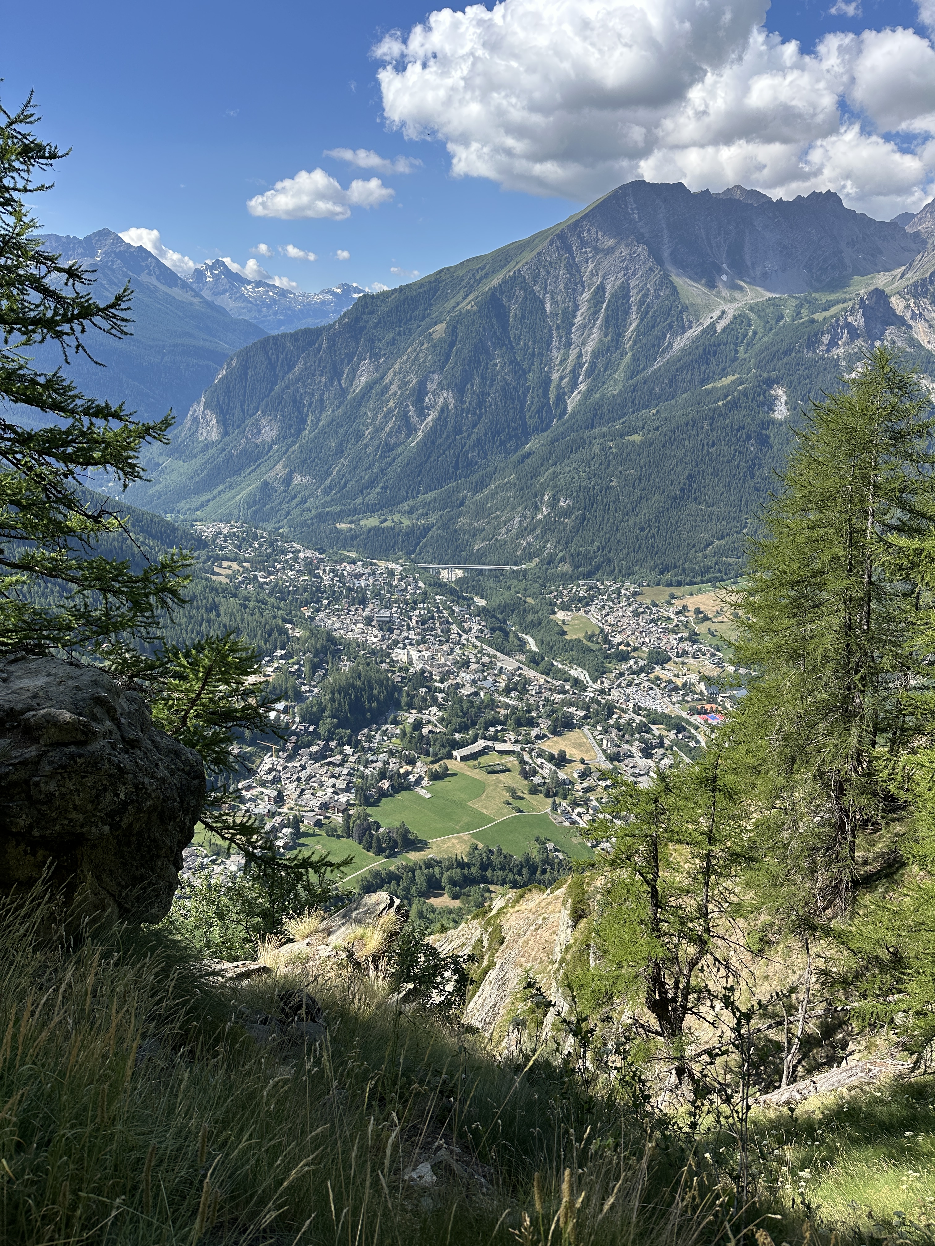
Breakfast at Maison La Saxe was great, but we couldn’t stick around too long as we had 13-14 miles and over 5000′ of climb in front of us, to get to Refuge Elena in Val Ferret, Italy. This was also the one day we wouldn’t have luggage service, so we did have to pack enough for the hike, the stay in the Refugio, and next day’s hike, which definitely filled our day packs to the max! ( I think we all had 18-20L packs, though maybe Scott just had a Salomon running pack.)
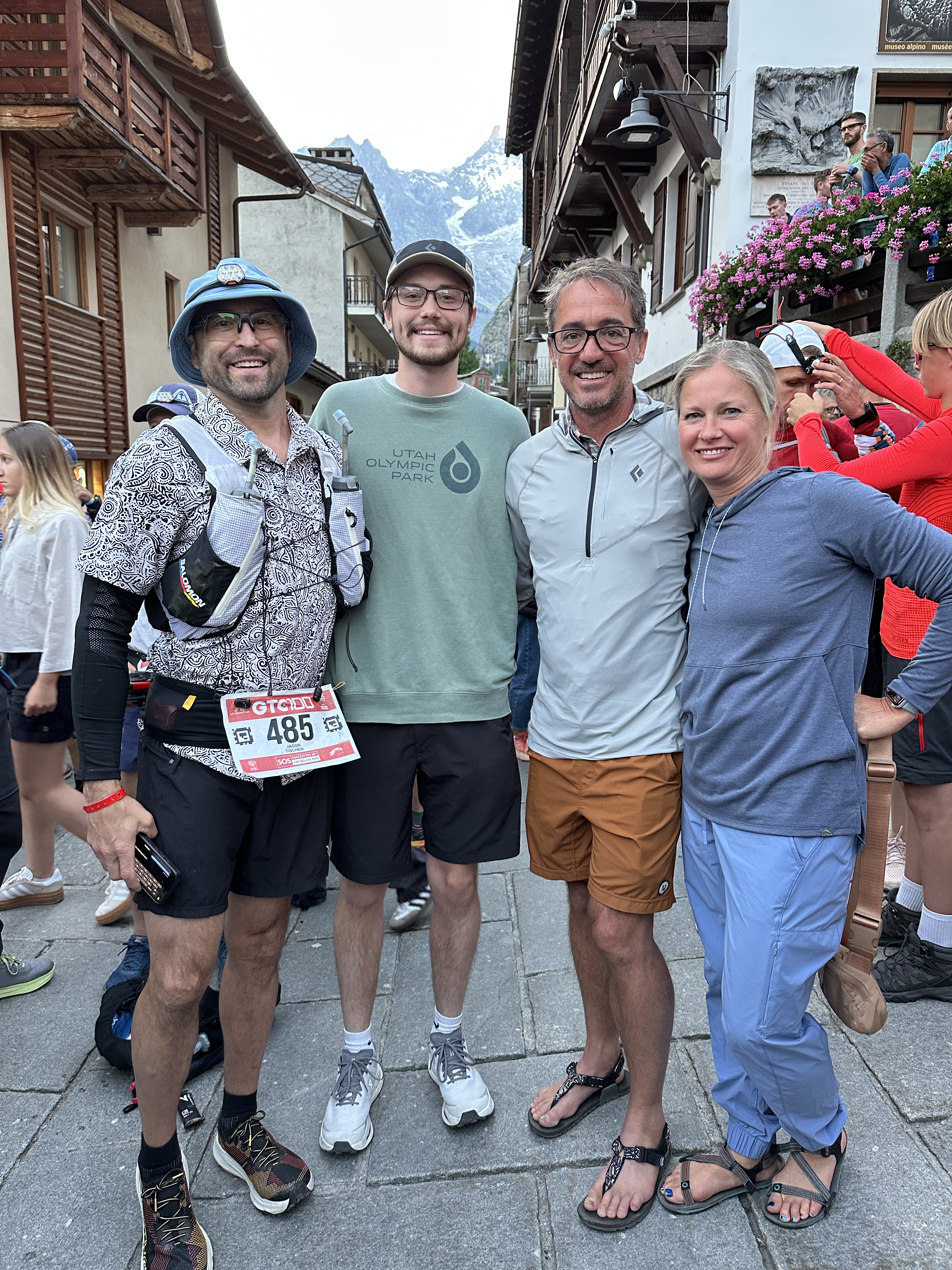
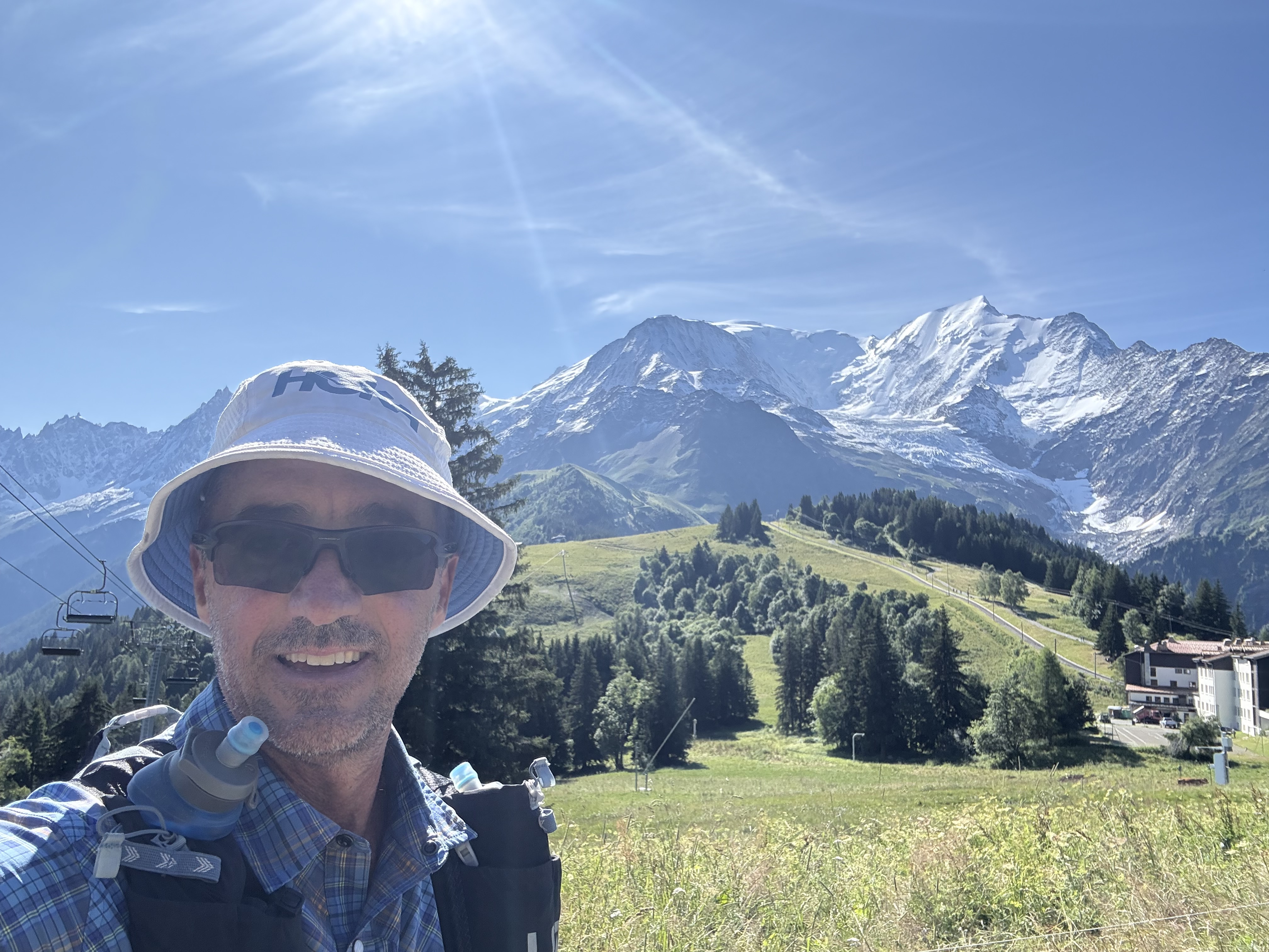
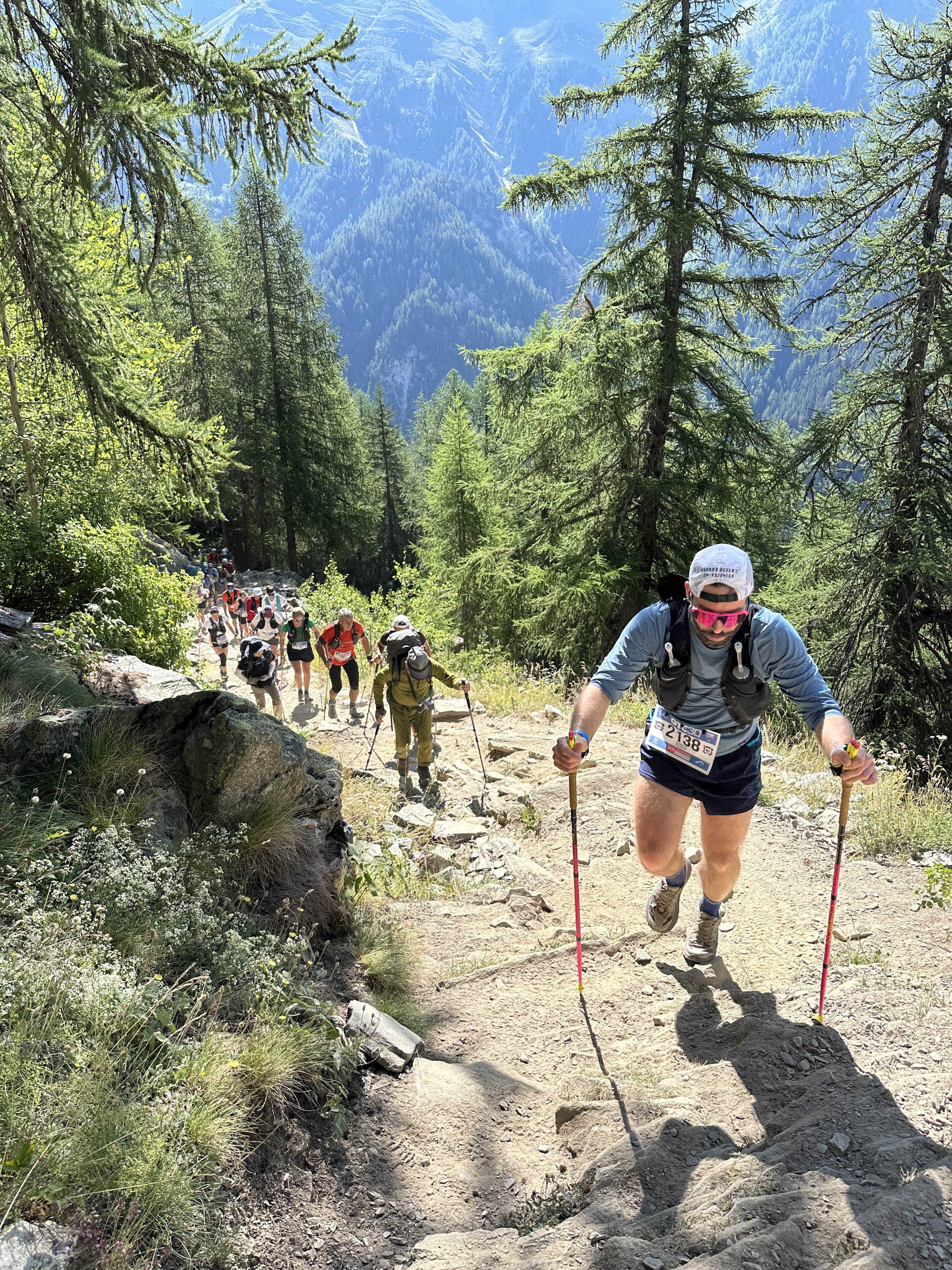
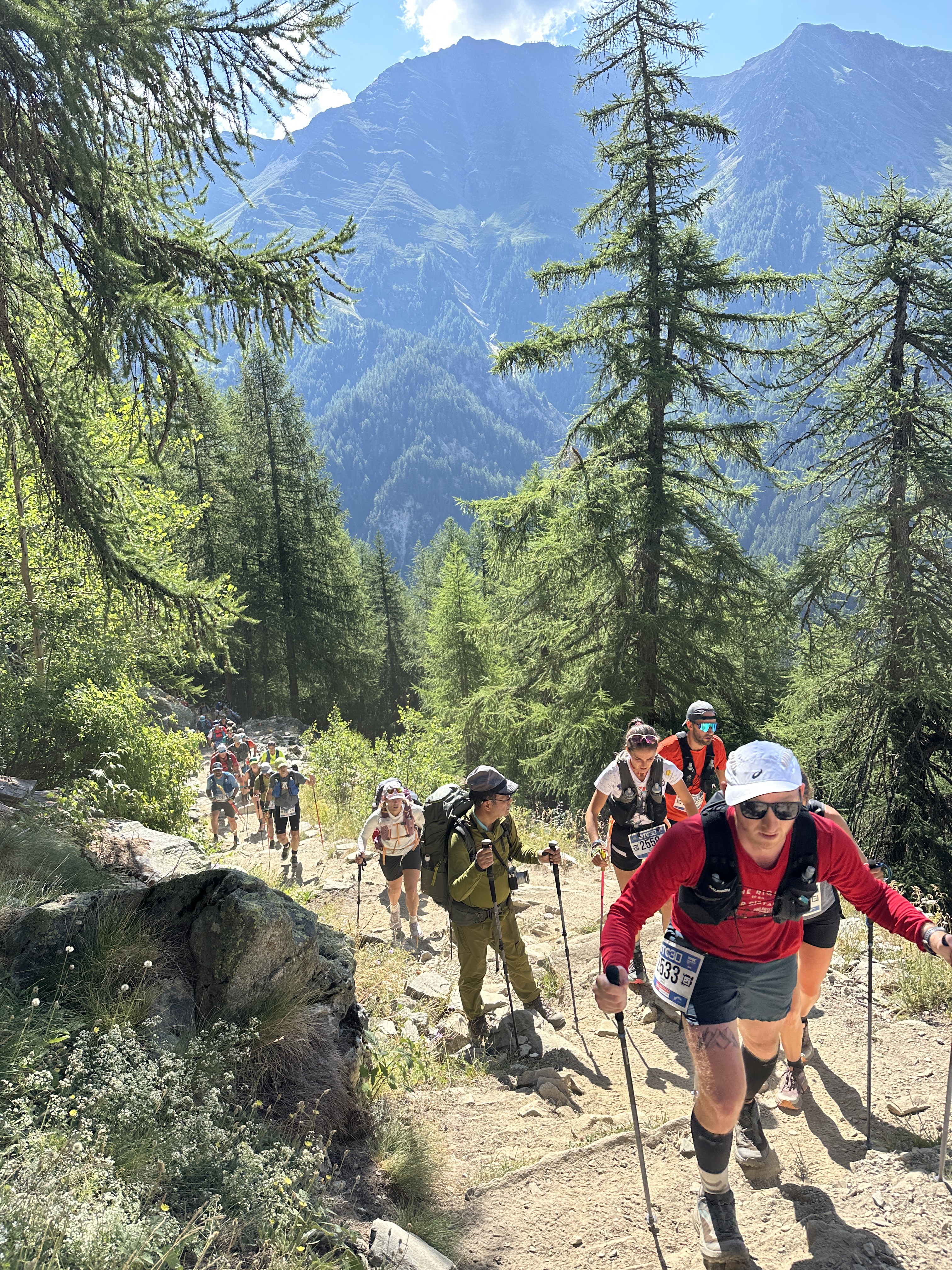
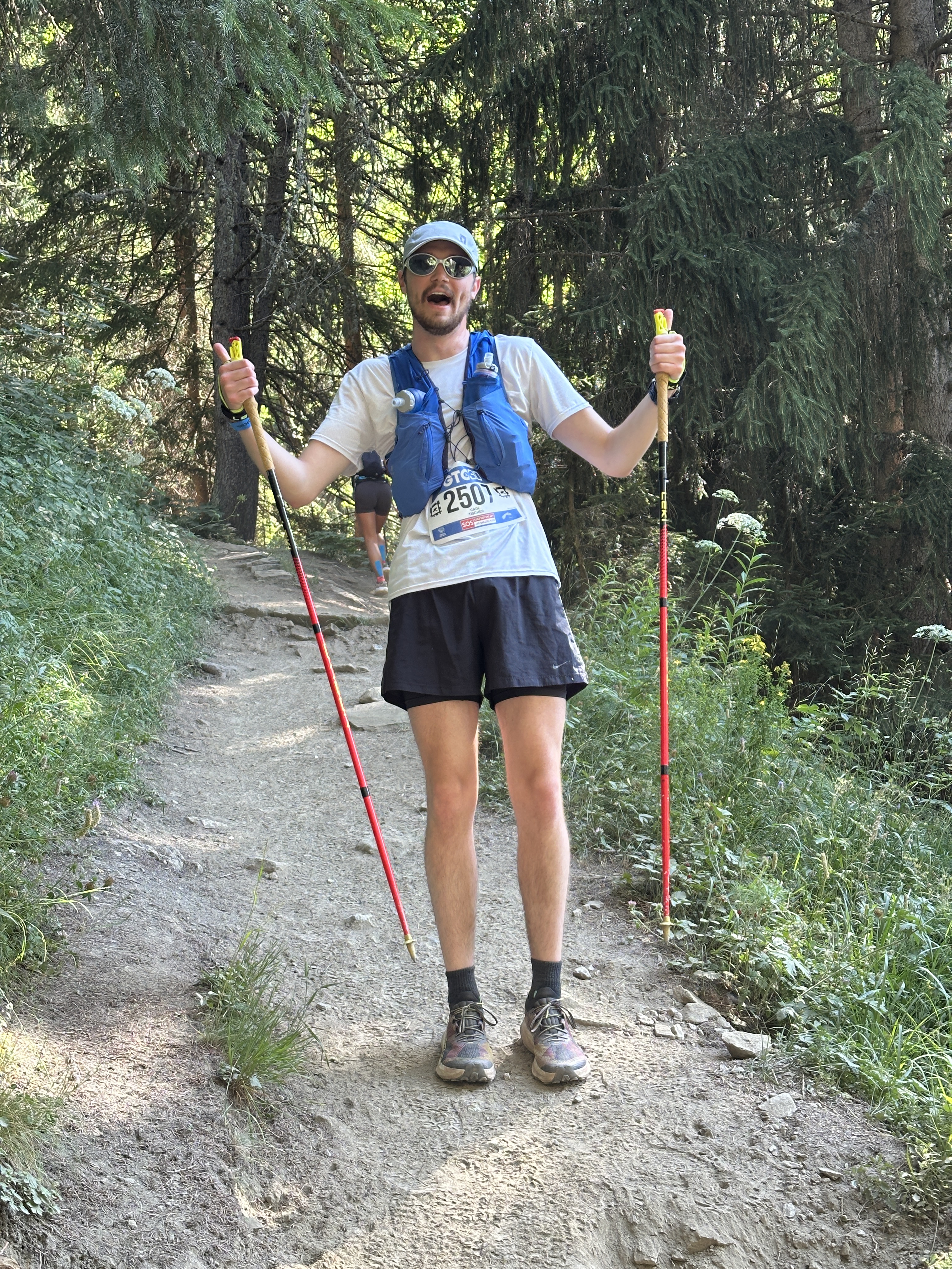
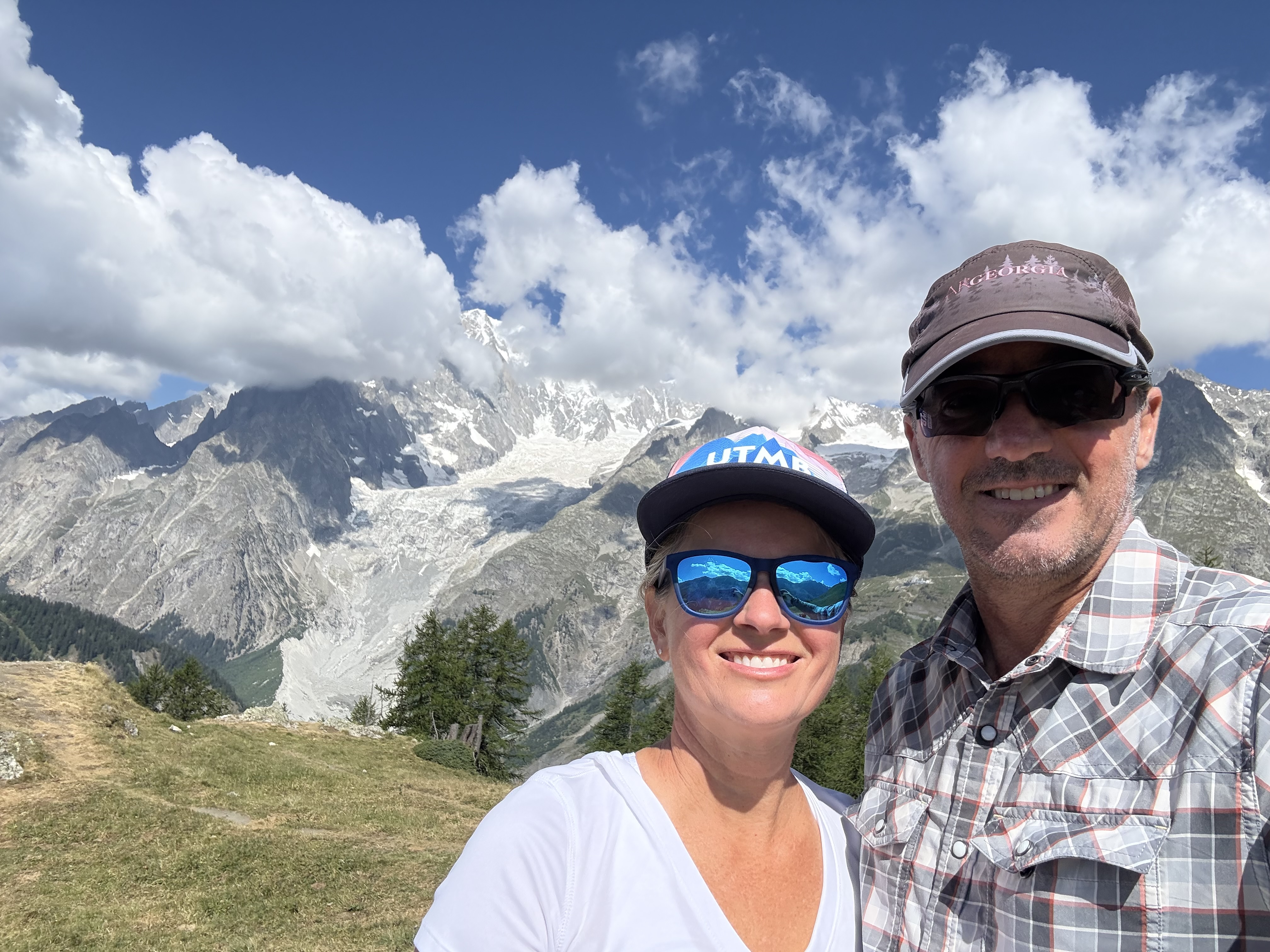
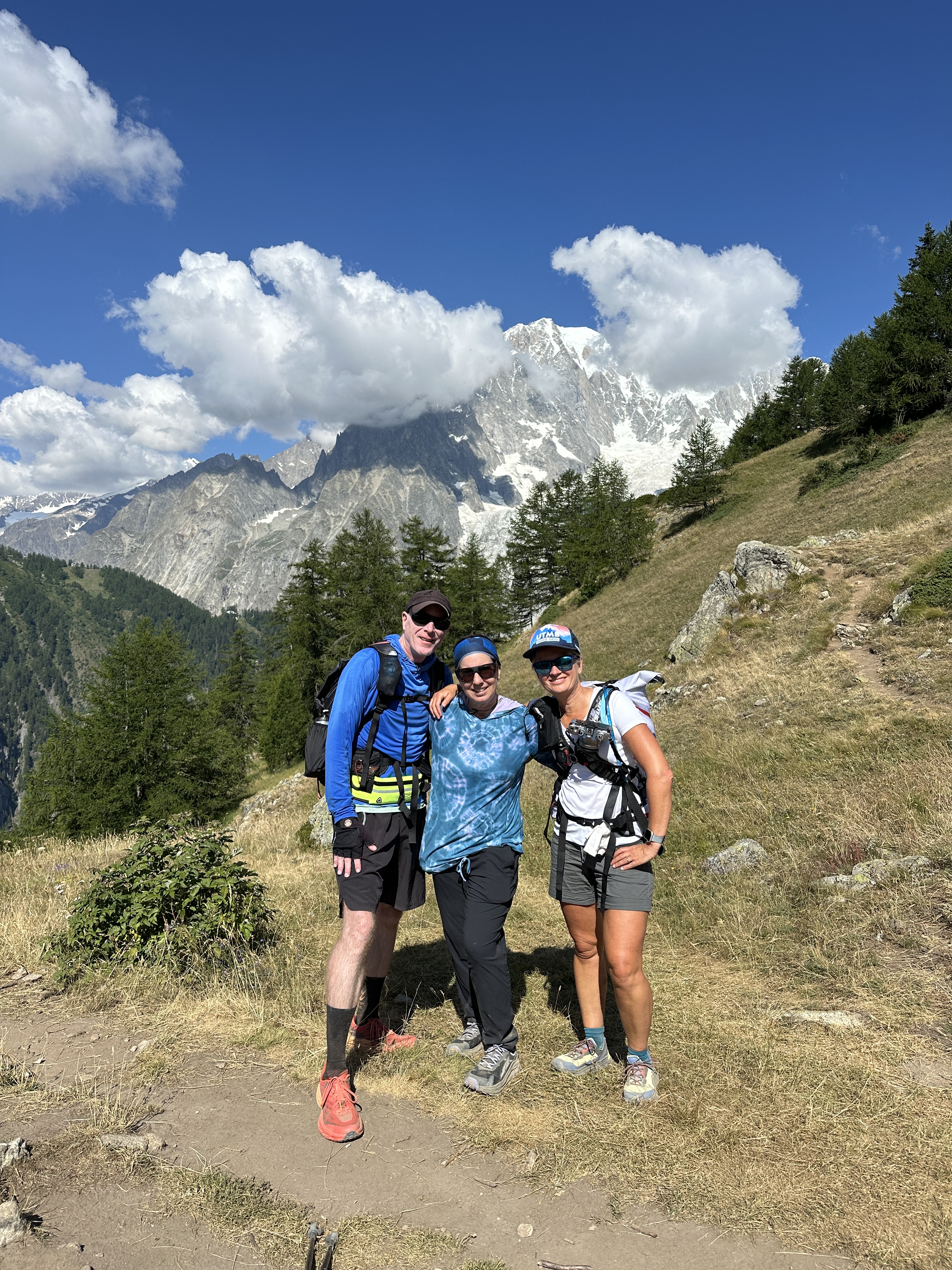
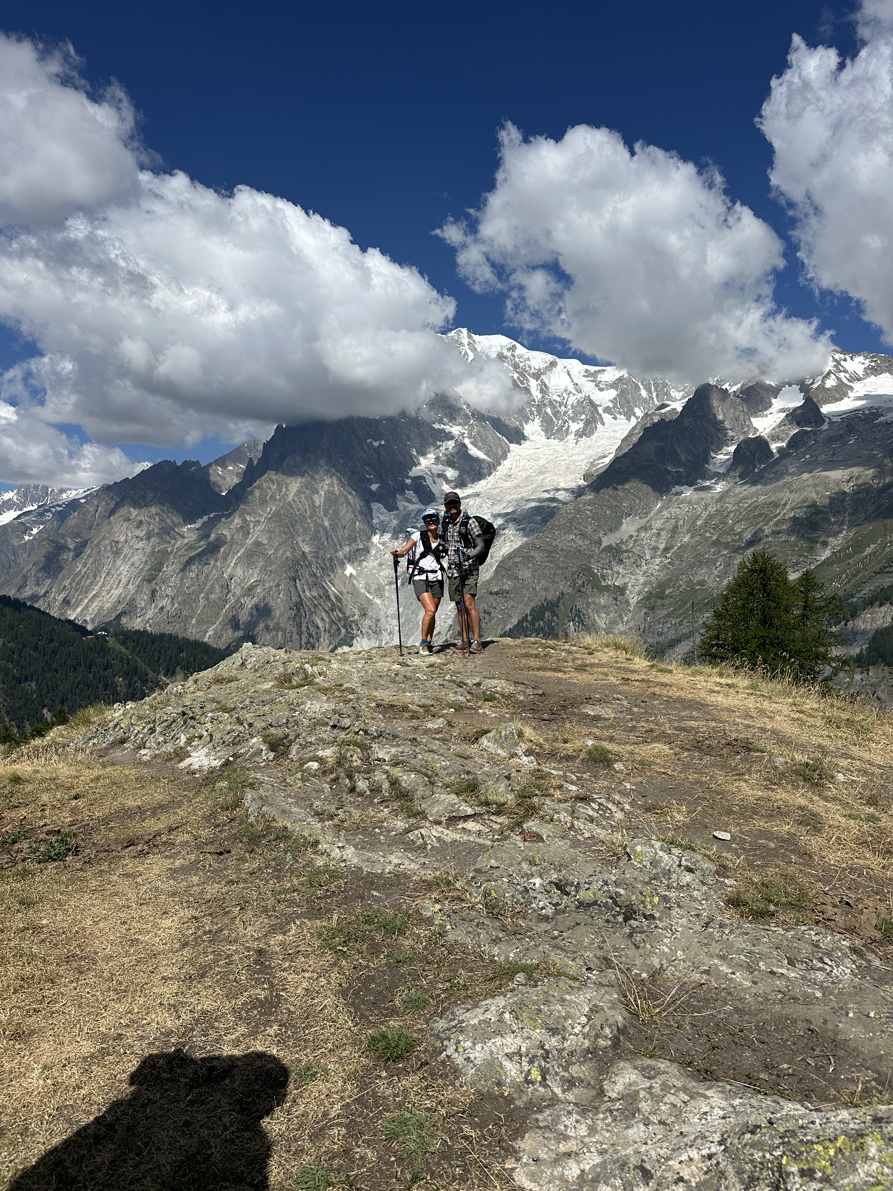
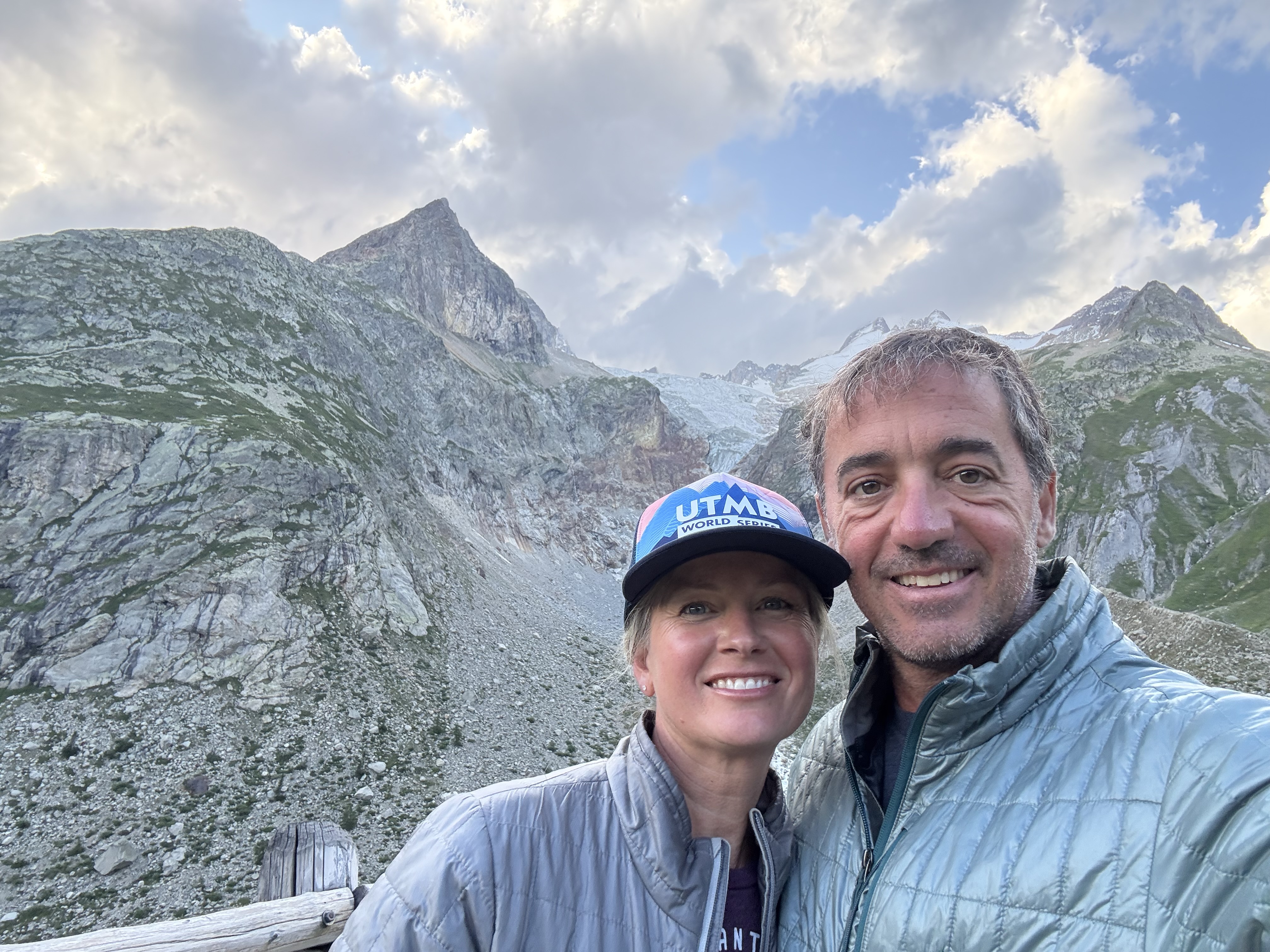
We started in town and the B&B host took us on a few roads to a side trail which led us to the TMB. Cade Tischer (Jase’s son) was running a shorter race that stared in the morning. We hit the single track climb before the race leaders, but before long, all the runners were passing us. I’d jump in with a group here and there and try to hang, but I did have more weight in my pack than most of them! Towards the top, though, I was able to settle in with a pack of runners. Eventually Cade came along, and we also took some photos up top.
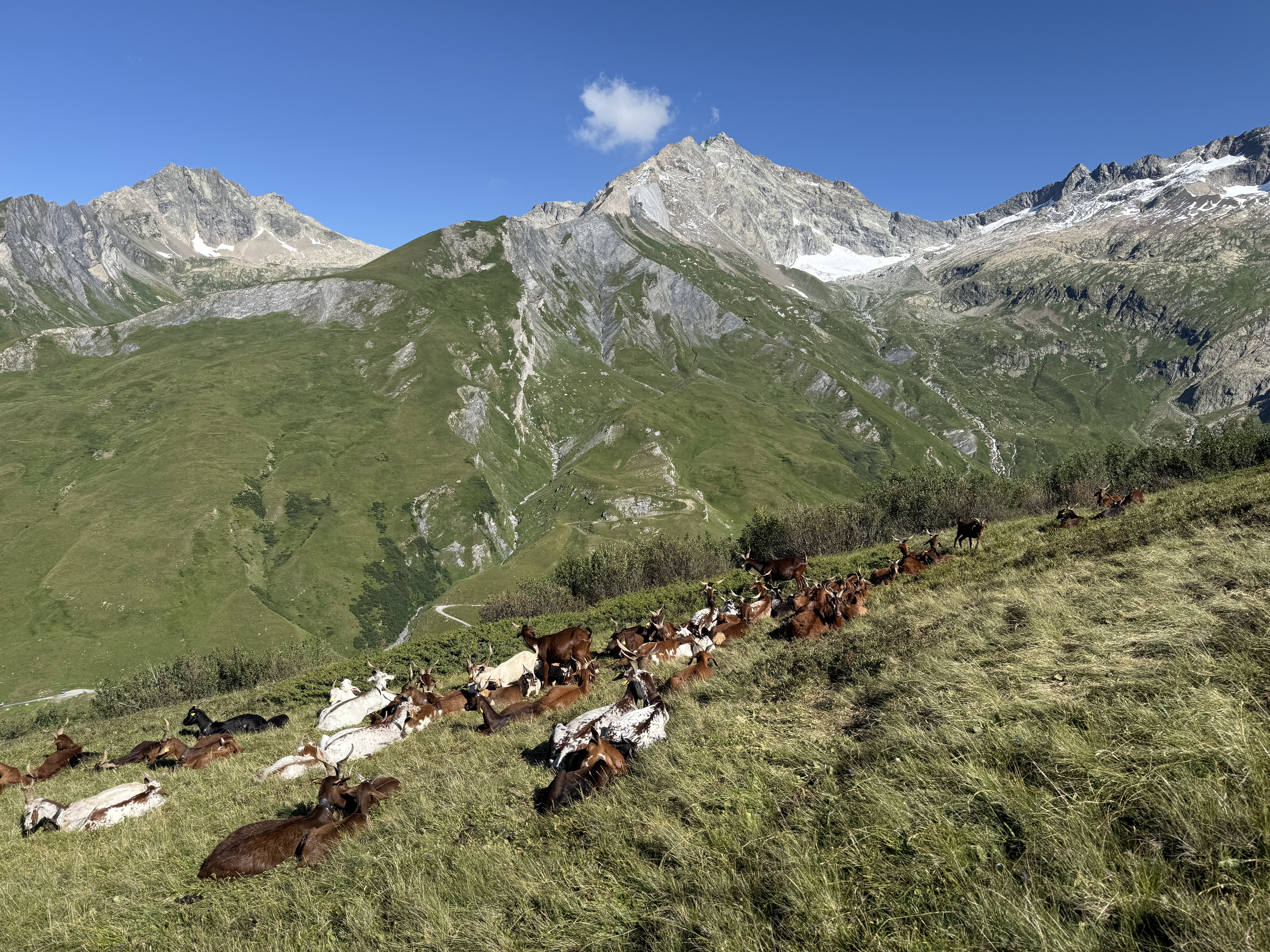
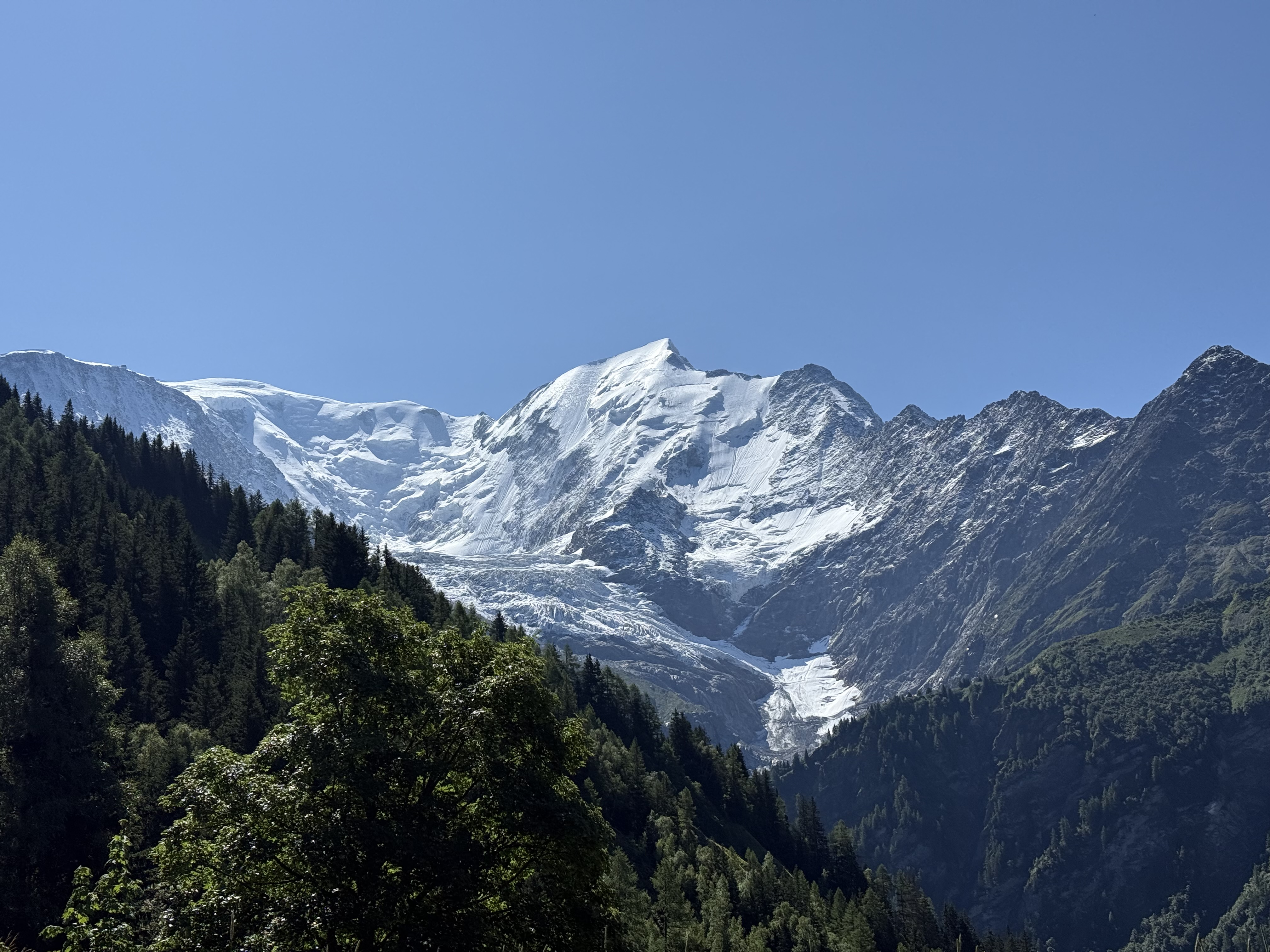
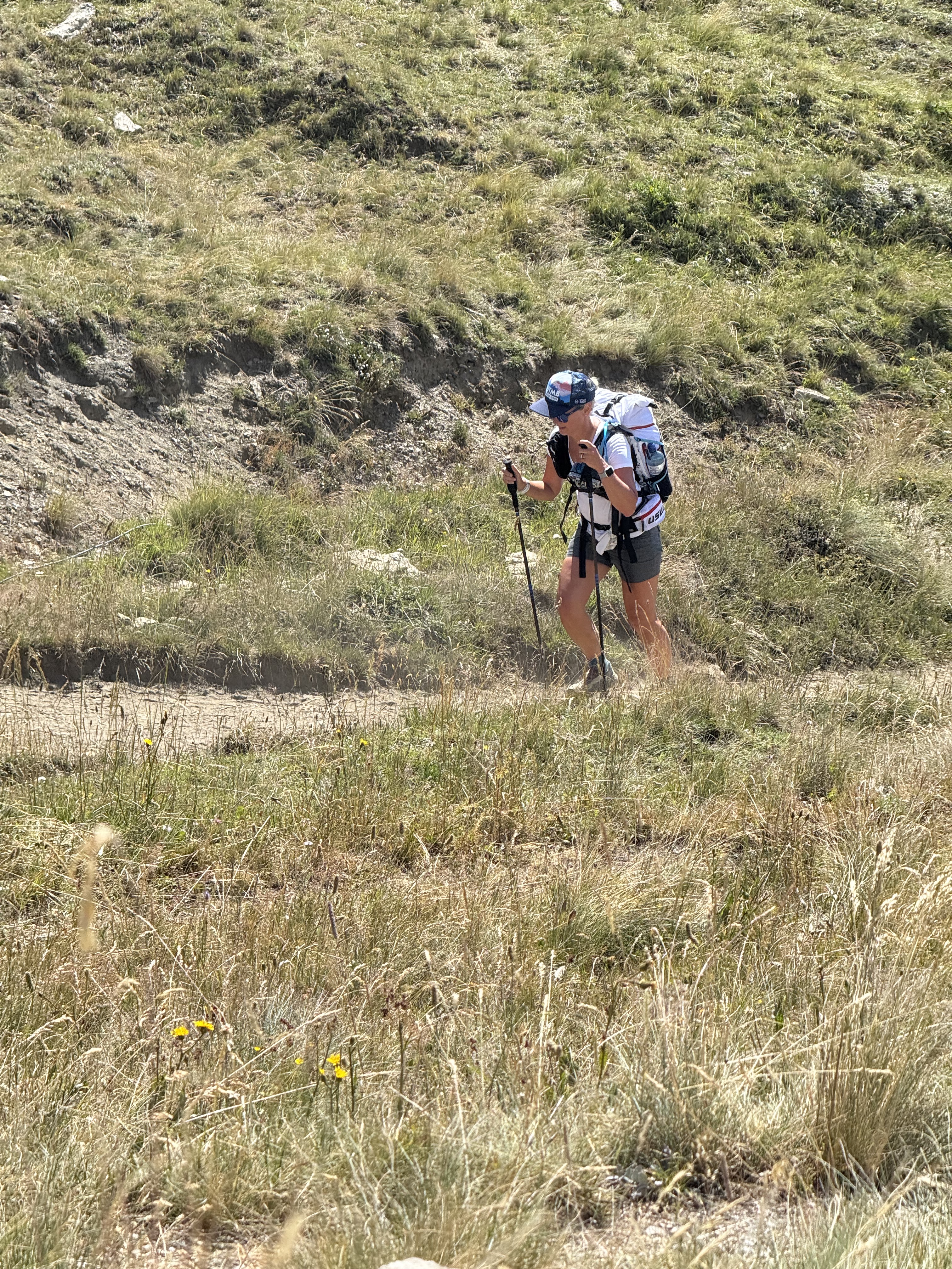
The next few show how many runners there were – and how steep it was!
And here’s Cade:
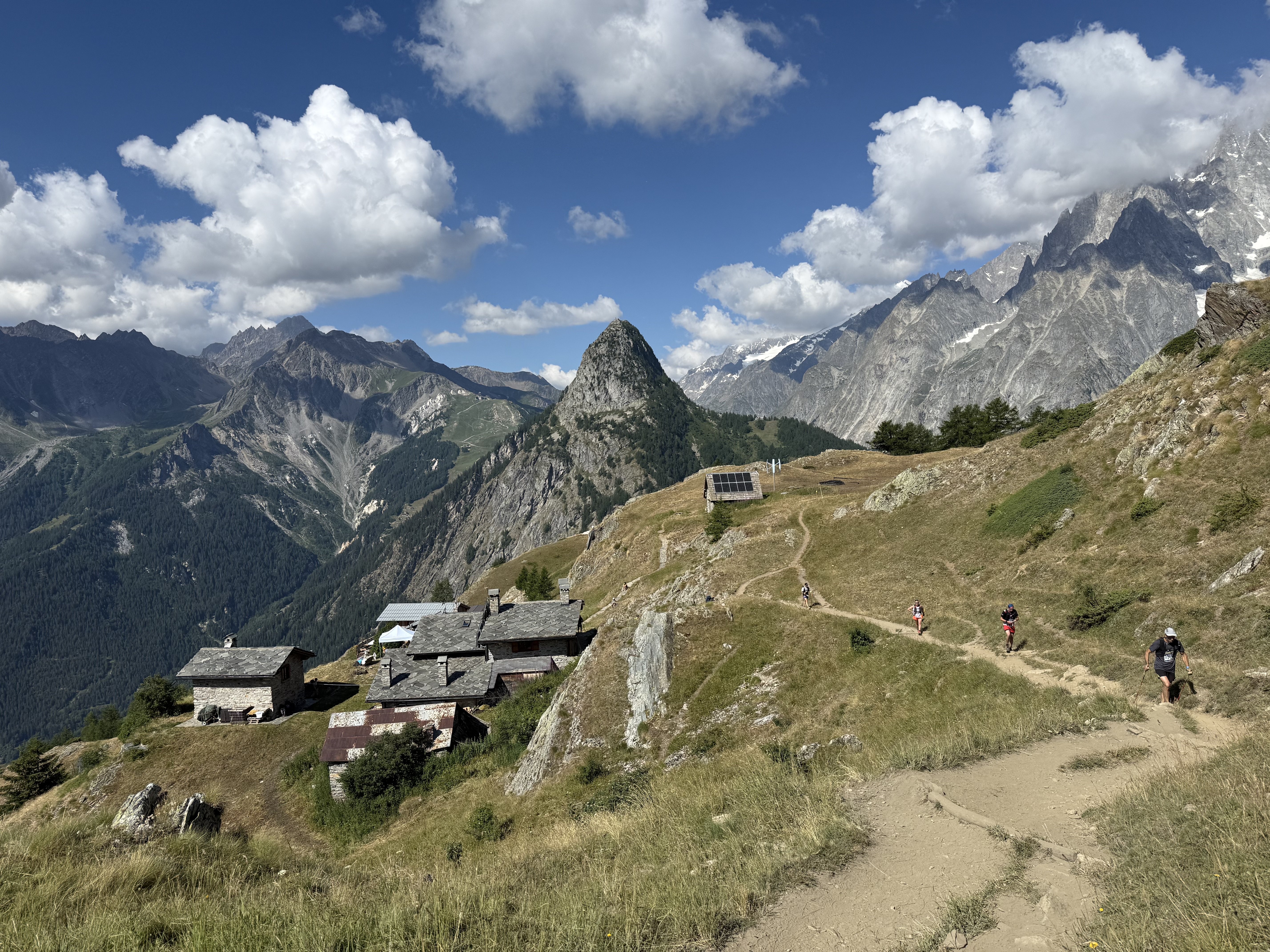

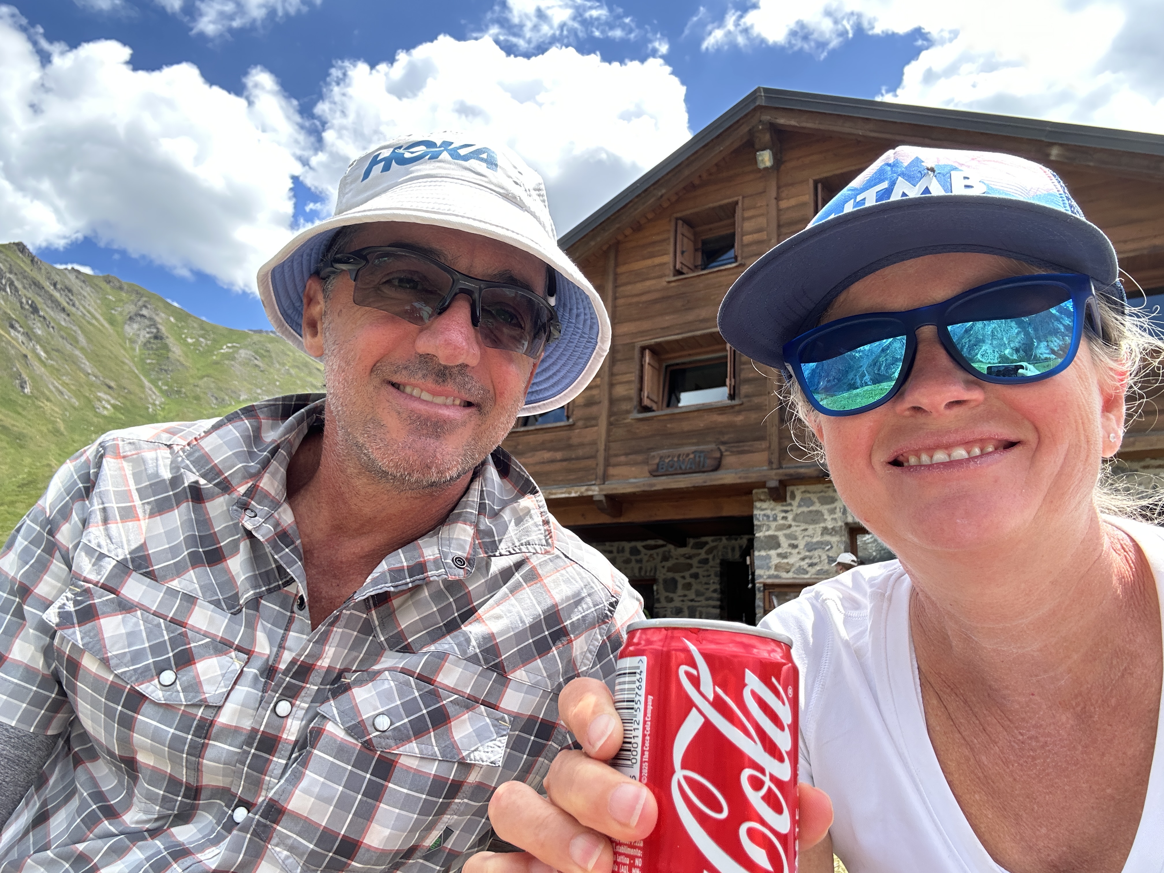
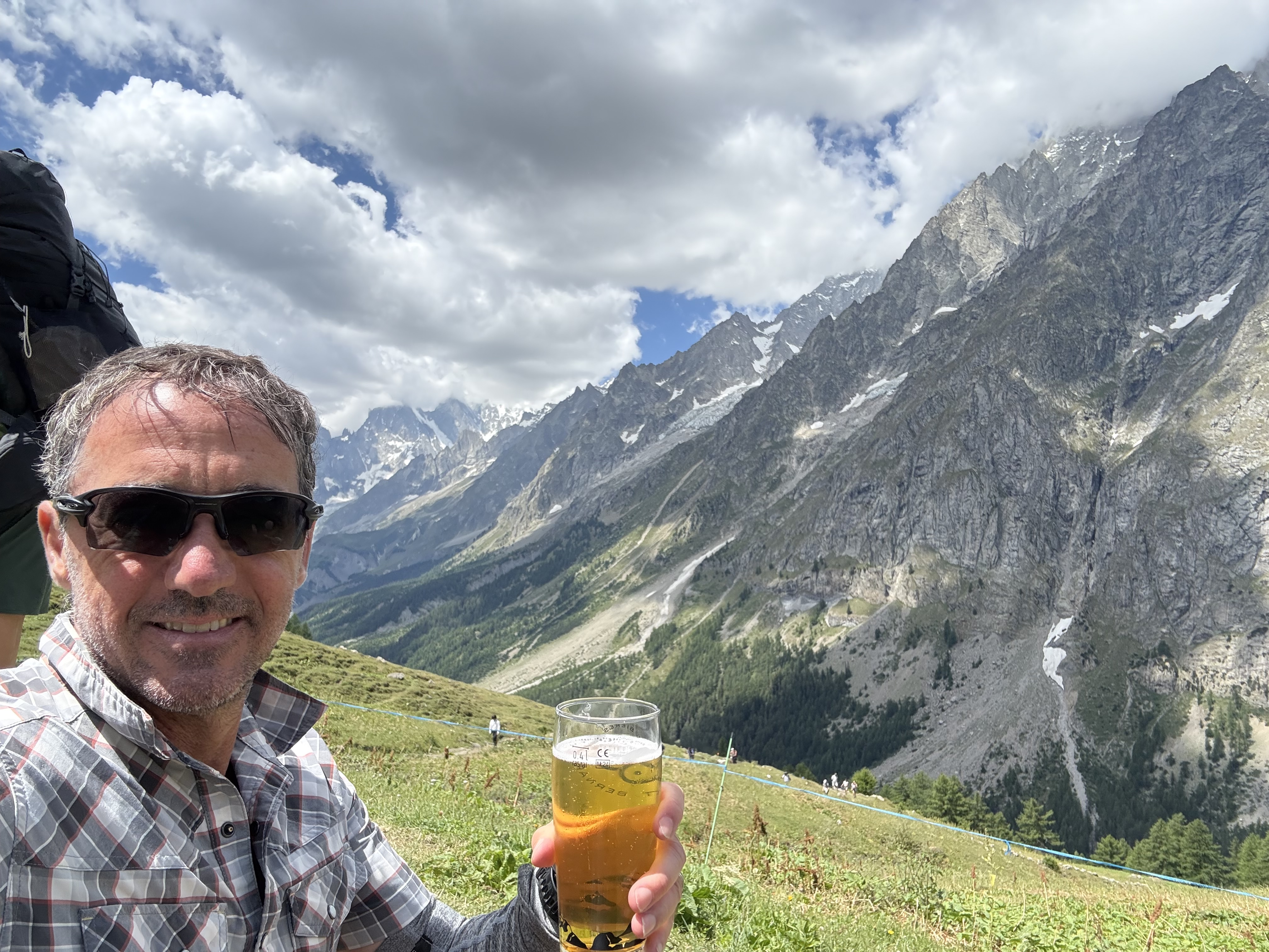
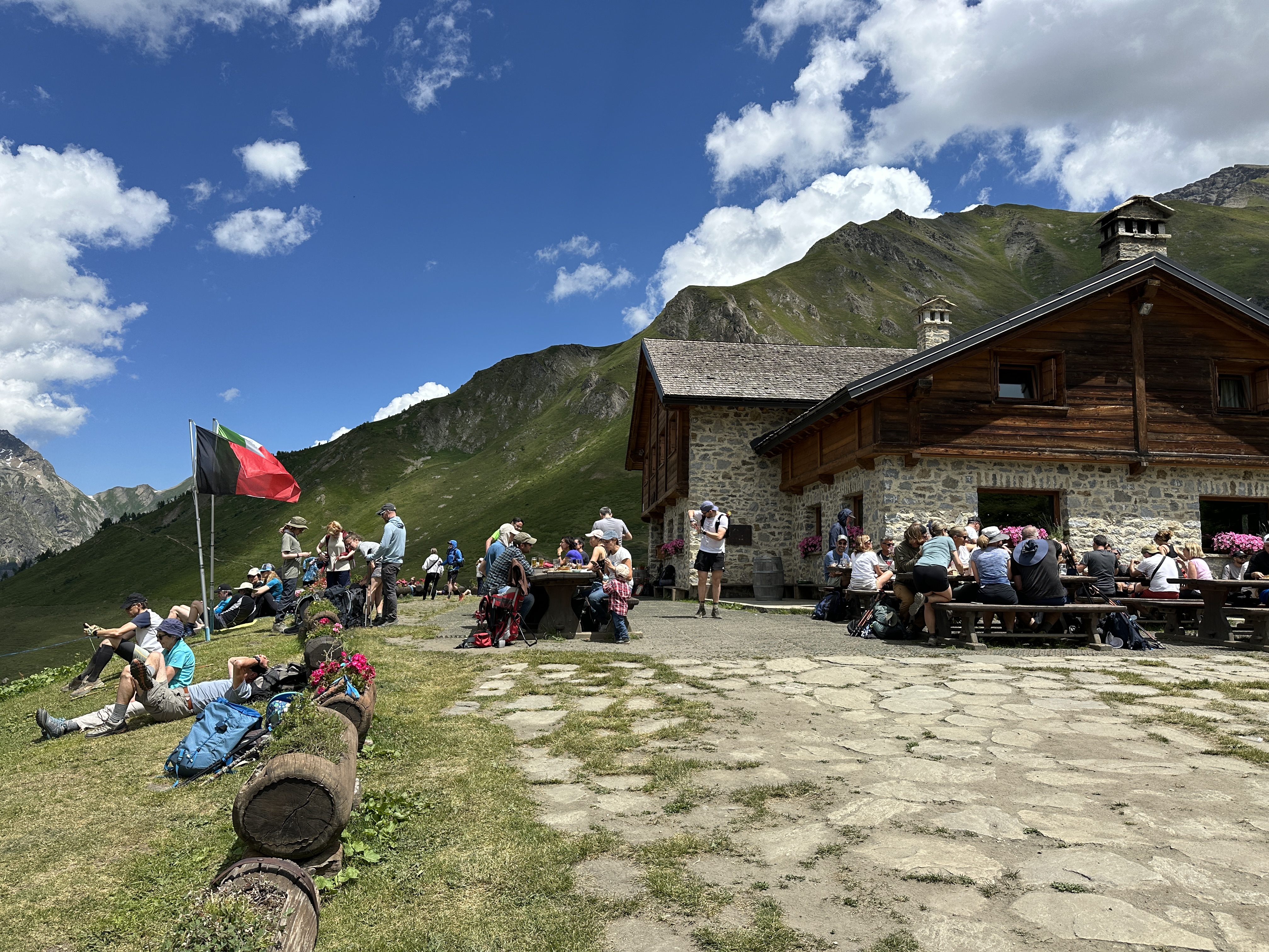
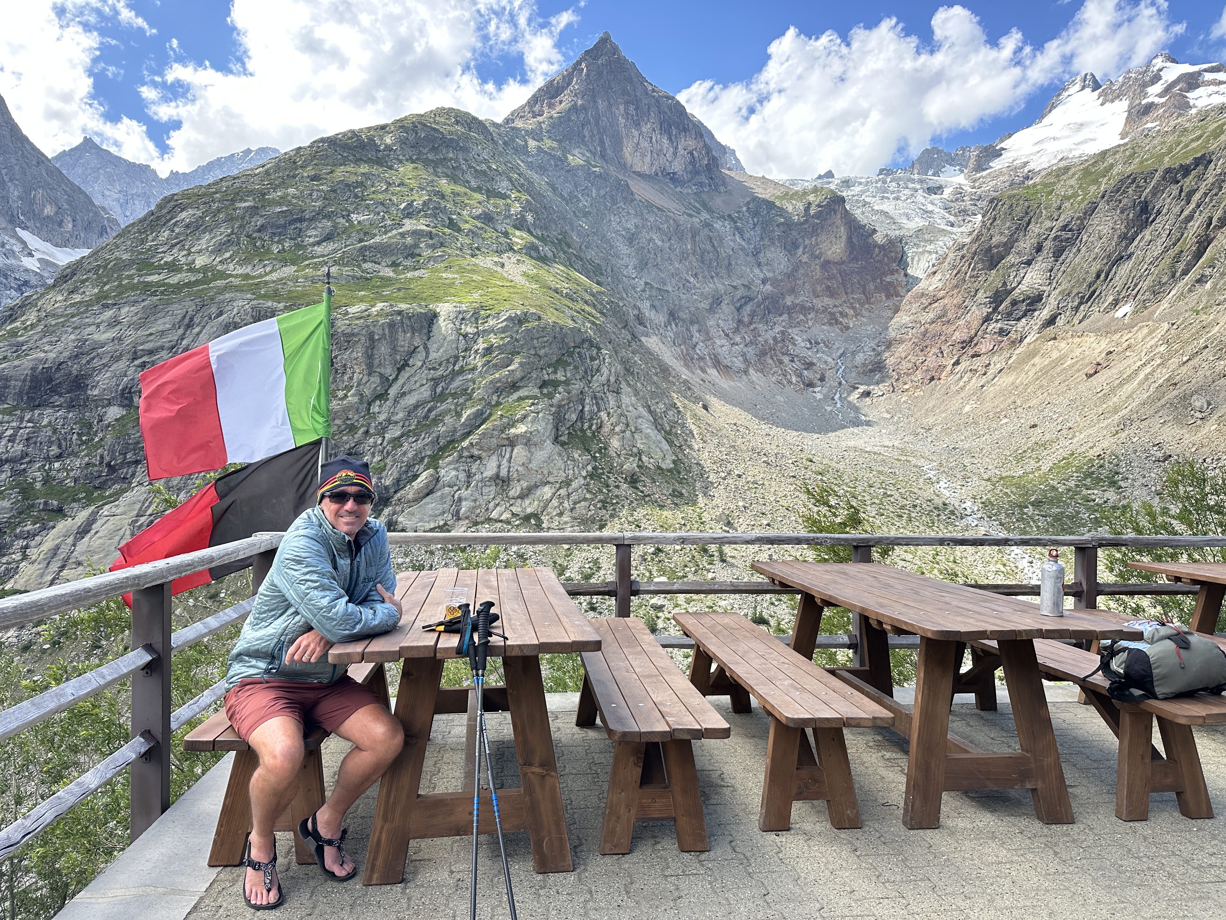
We eventually came upon a Refugio/restaurant (Rifugio Walter Bonatti) that was quite busy with day hikers. I had a beer while waiting for the rest of the gang, and Kelly had a coke when she got there.
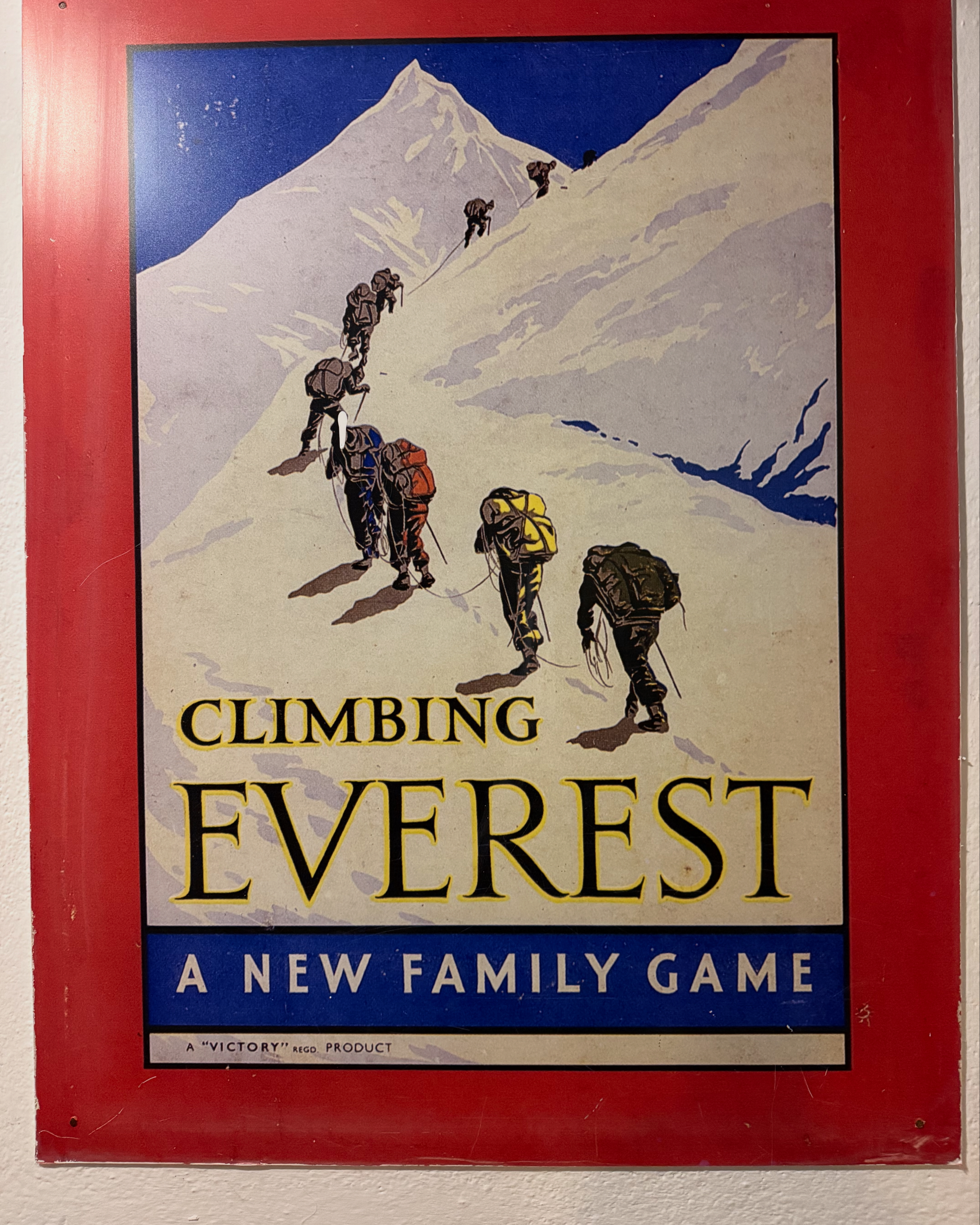
I also saw this sign advertising a cool new family game:
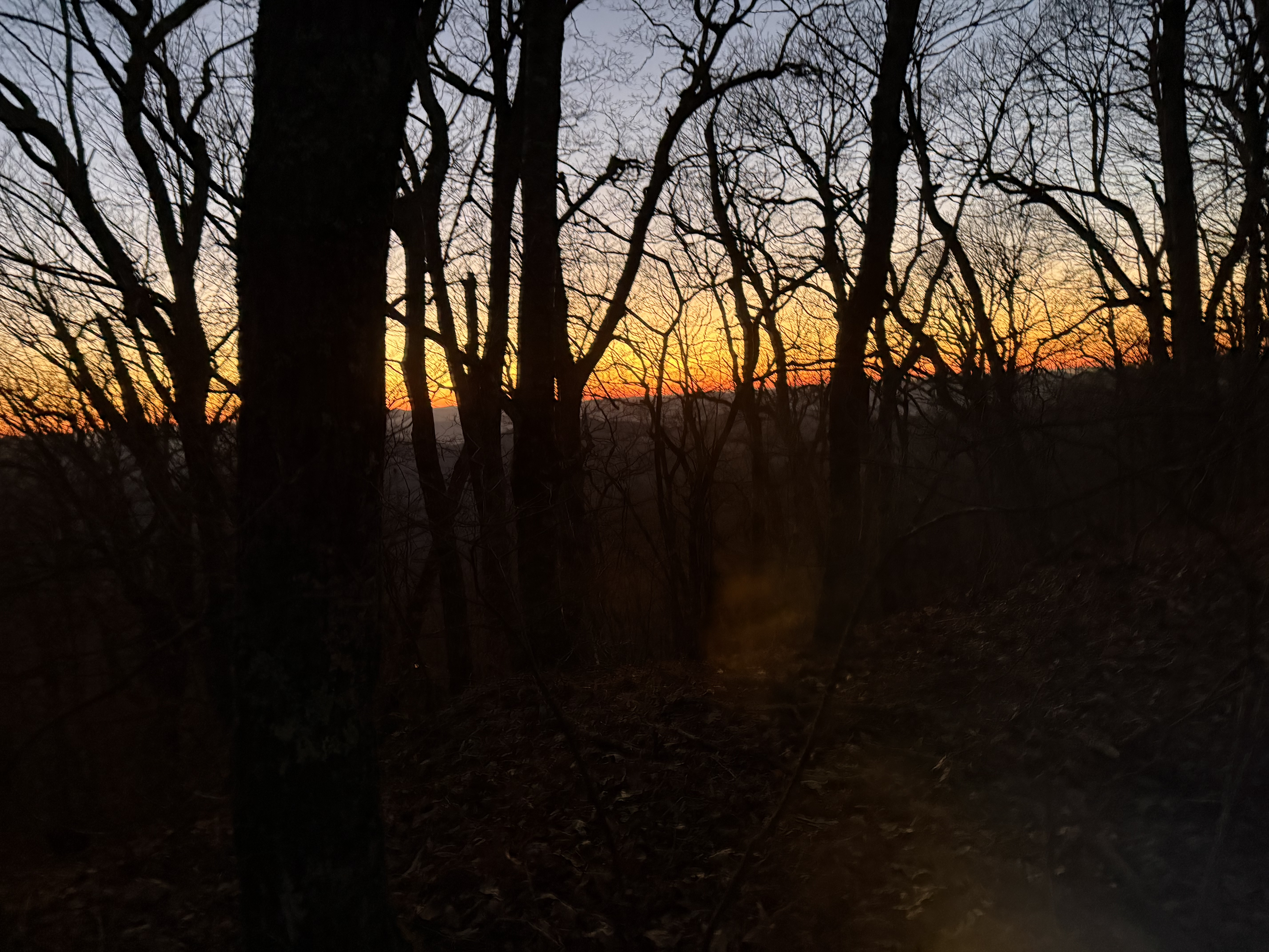
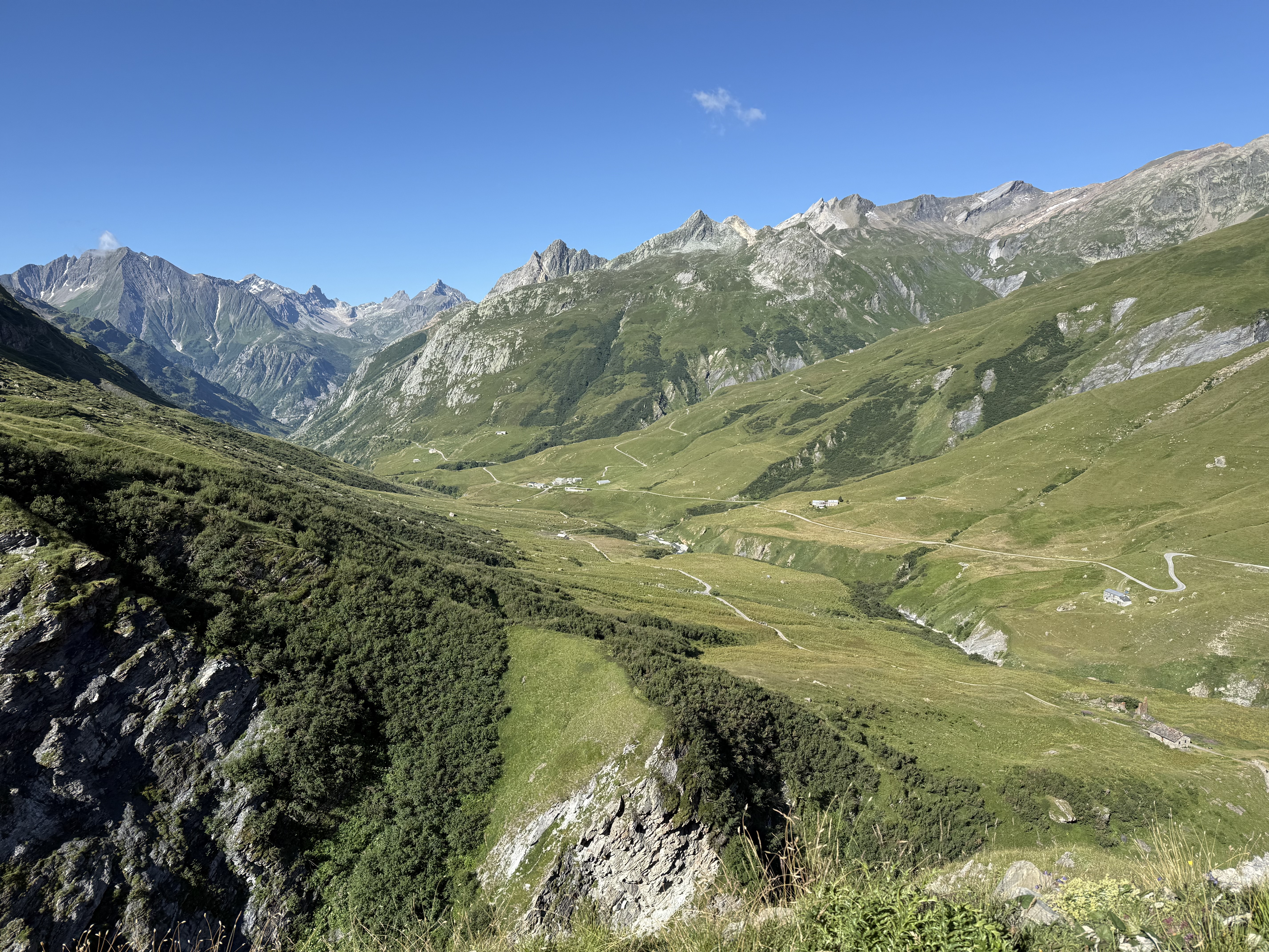
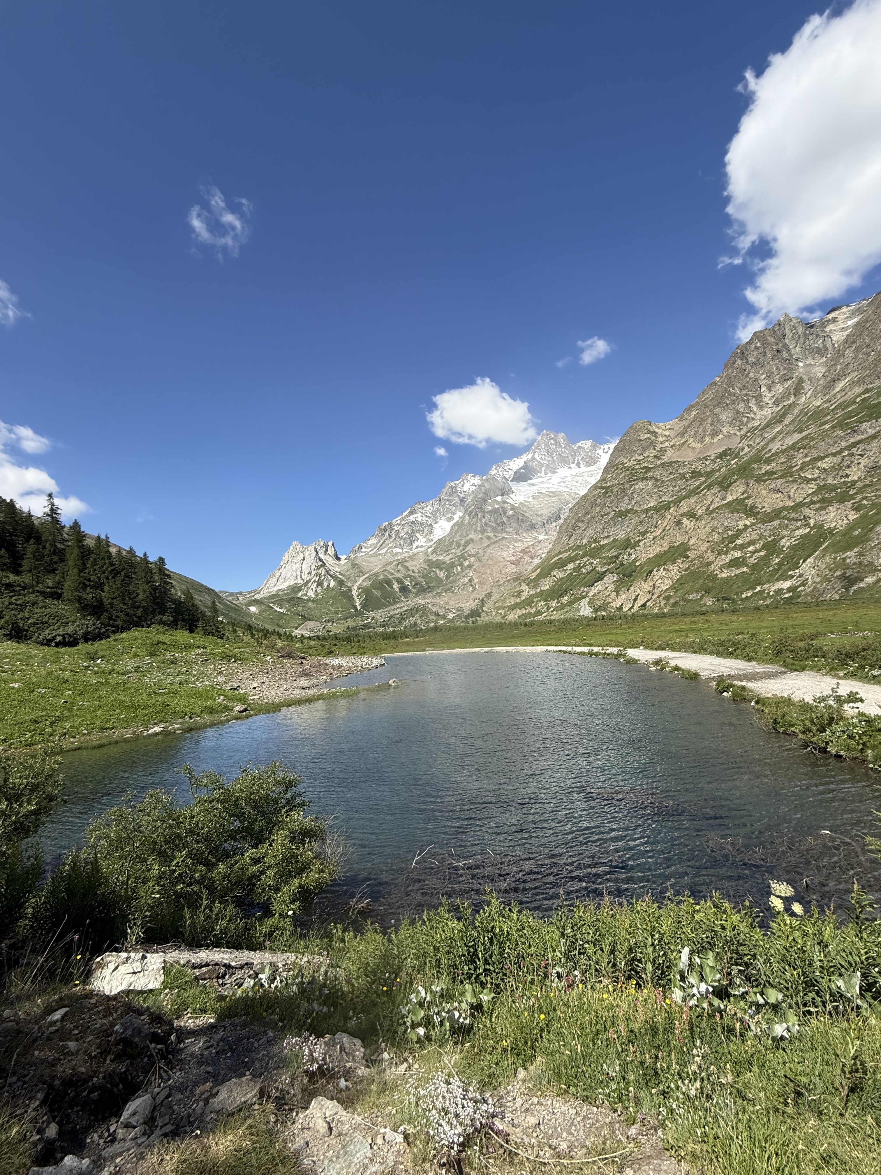
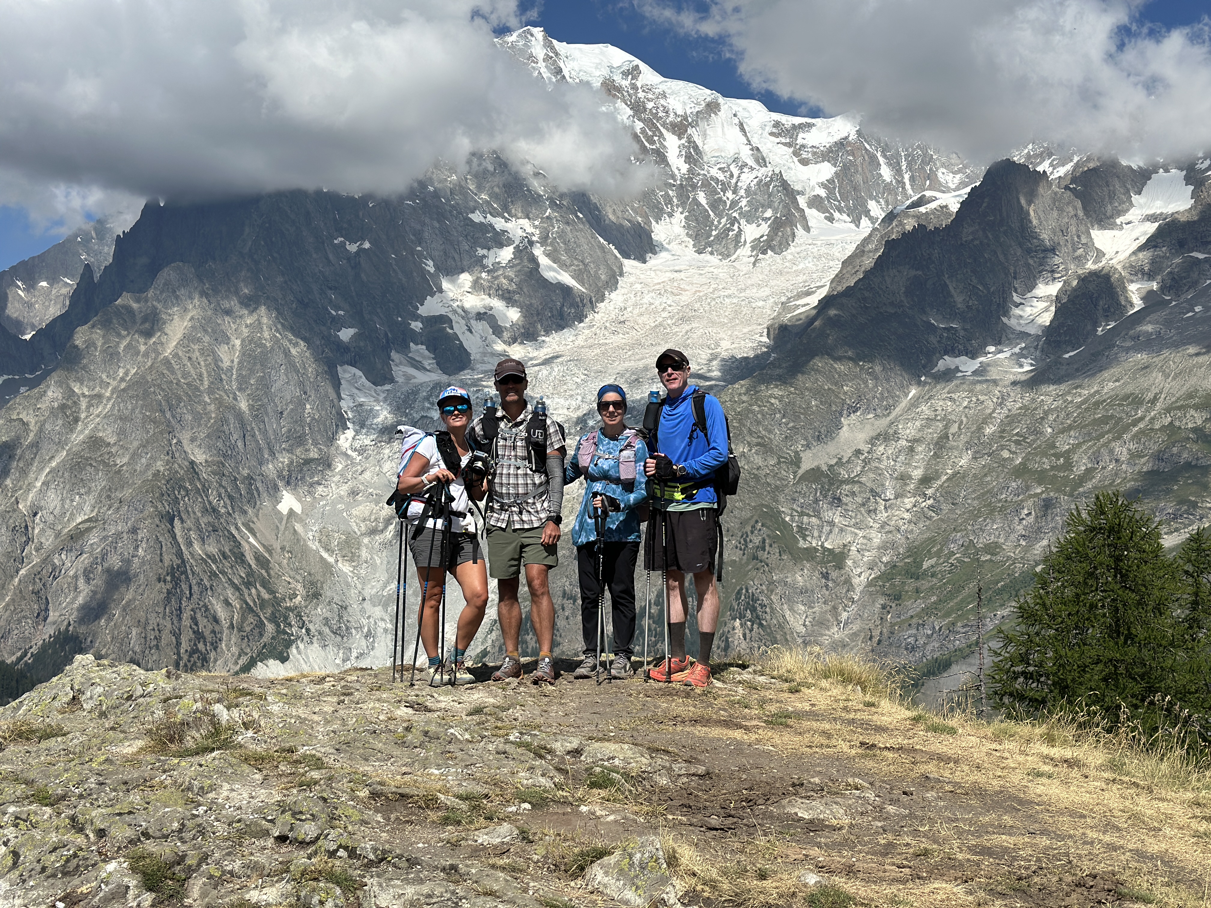
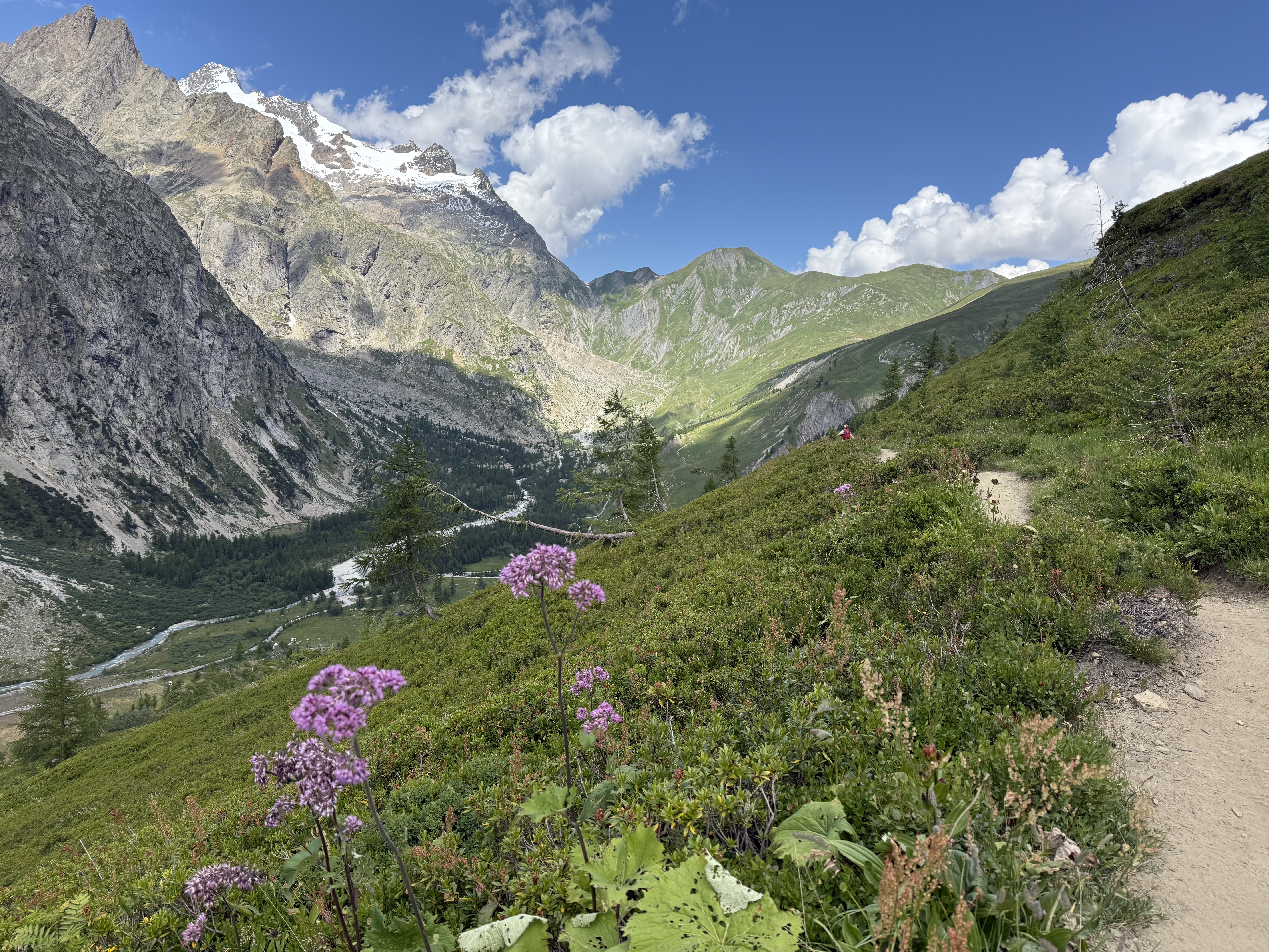
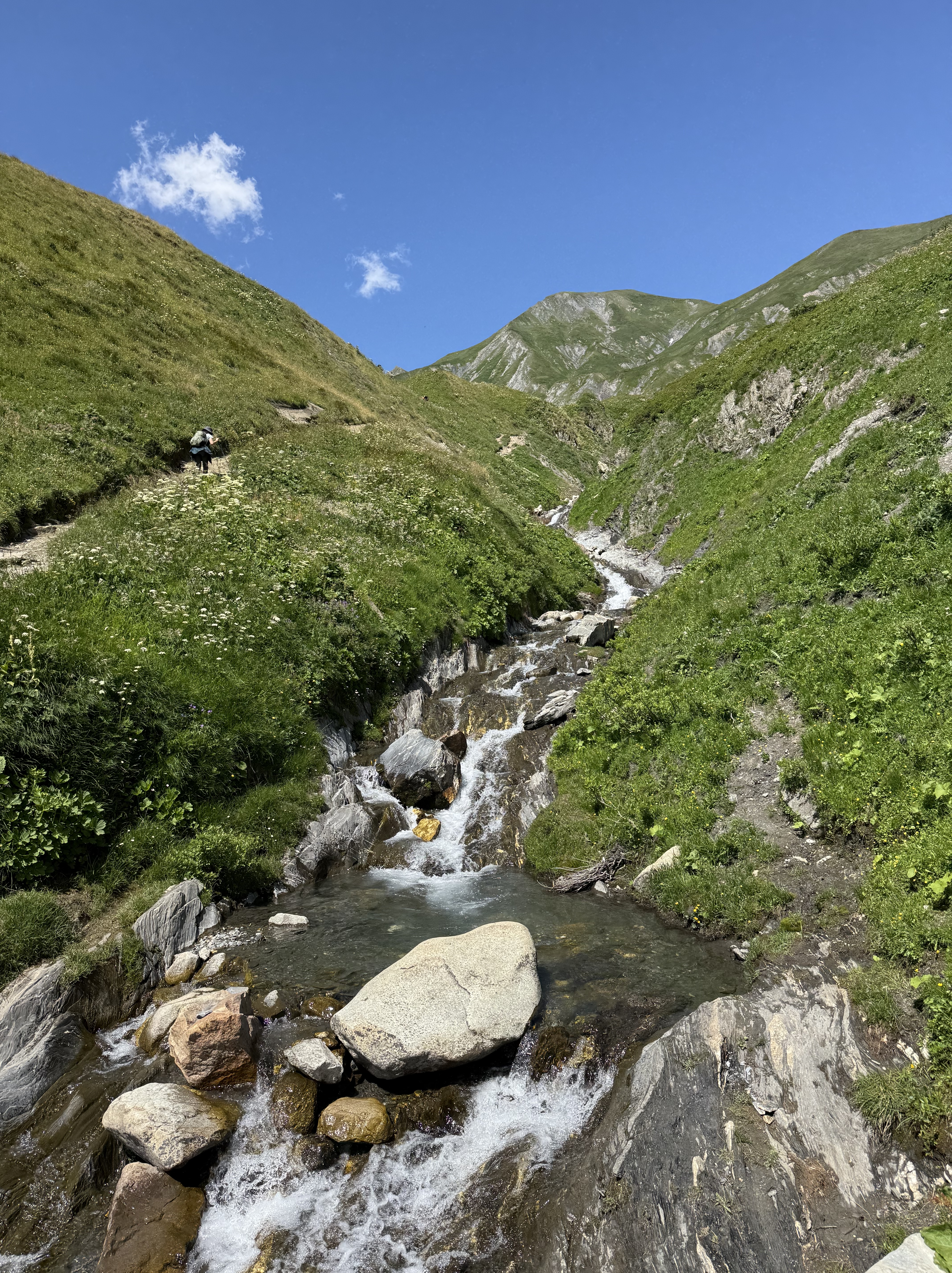
Then we had a beautiful rolling hike for a few miles before a final short climb to the Refugio.
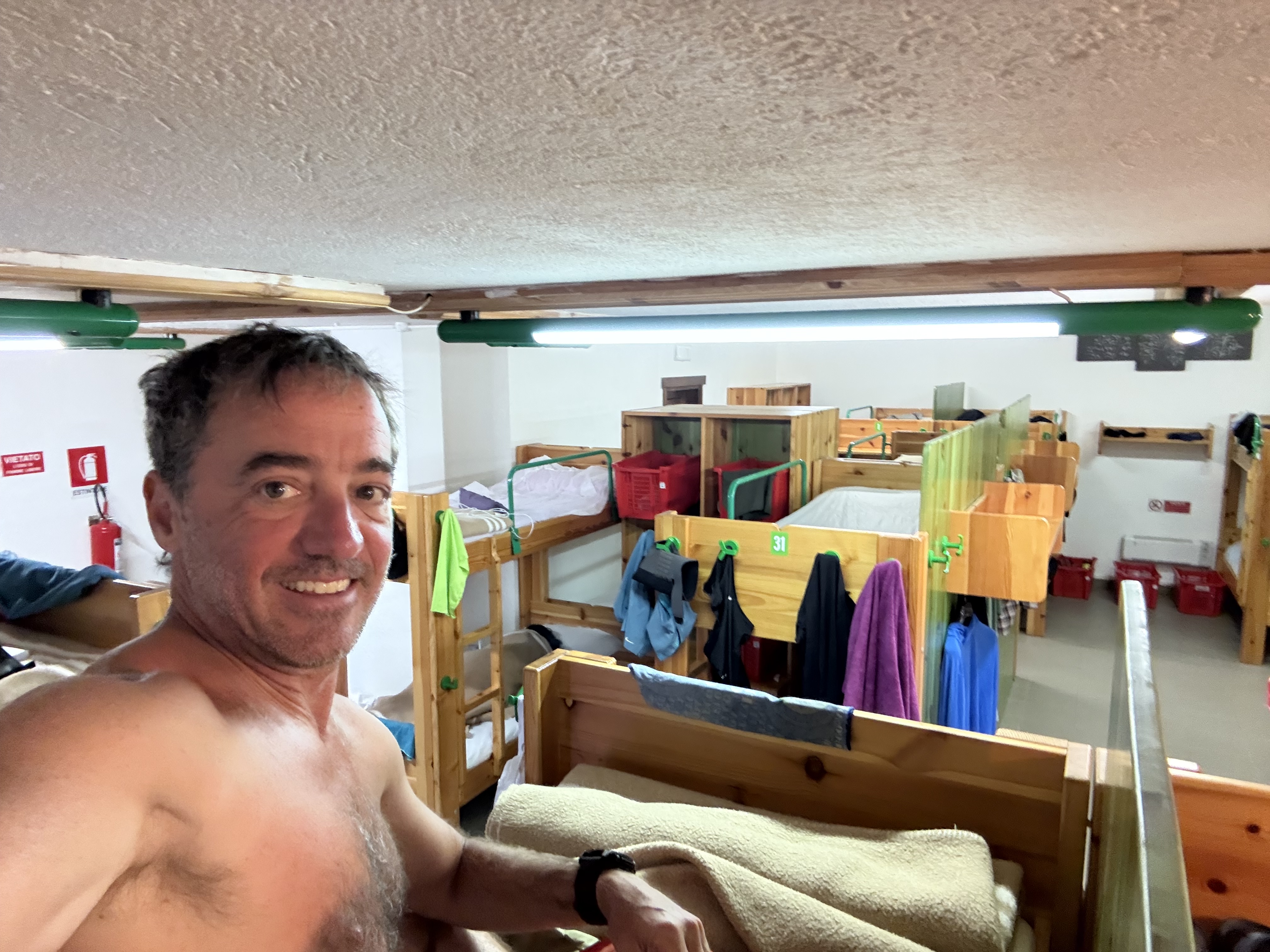
The rules here were a bit strict with where you could unload gear, what gear could come to the dorm style room, water/showers, etc. And the instructions were in Italian so I had trouble understanding the hosts first round. But another hiker was able to help us out.
Kelly was unfortunately the “victim” of almost no water in her shower — the signs that warn against running the water before you put your token in, to ensure the last person used all of theirs, were in Italian! So kelly only got a few seconds. I had a nice warm shower with tons of pressure but it was only about 3 – 4 minutes. I later learned the duration of the shower is based on how much water you are using, not how long you are using it, so it’s best to turn the pressure way down!
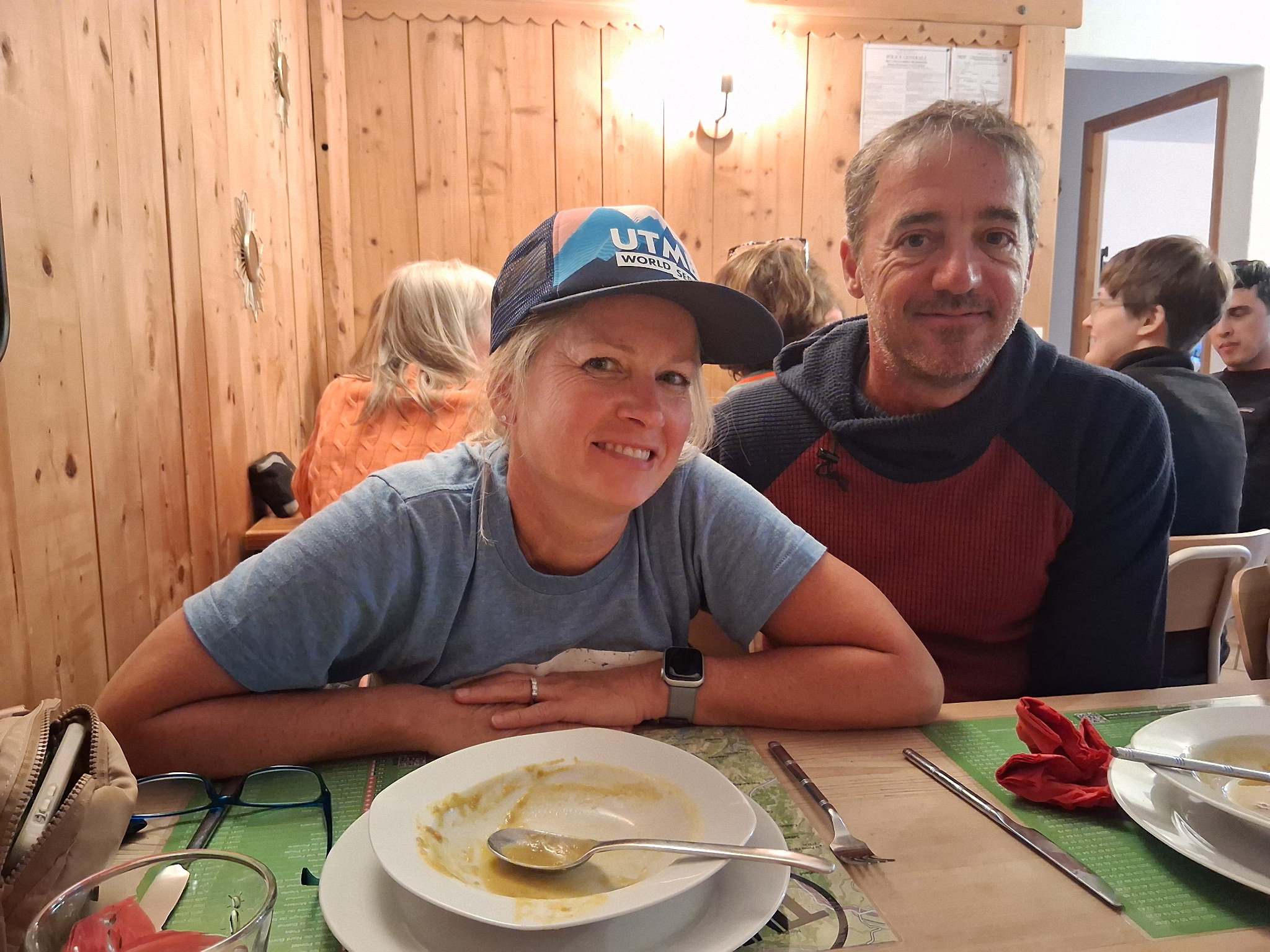
This was really the only communal dorm style Refugio we had on the trip — the other two we were fortunate enough to have rooms for 4, so the 4 of us were a bit more separated. There were probably at least 30 people in this room, and of course some stayed up late, and some got up very early — including one guy who had his headlight on as early as 4:30 getting his gear packed!
I stayed in a top bunk, with Kelly below, and Scott just a small divider away on the other side.