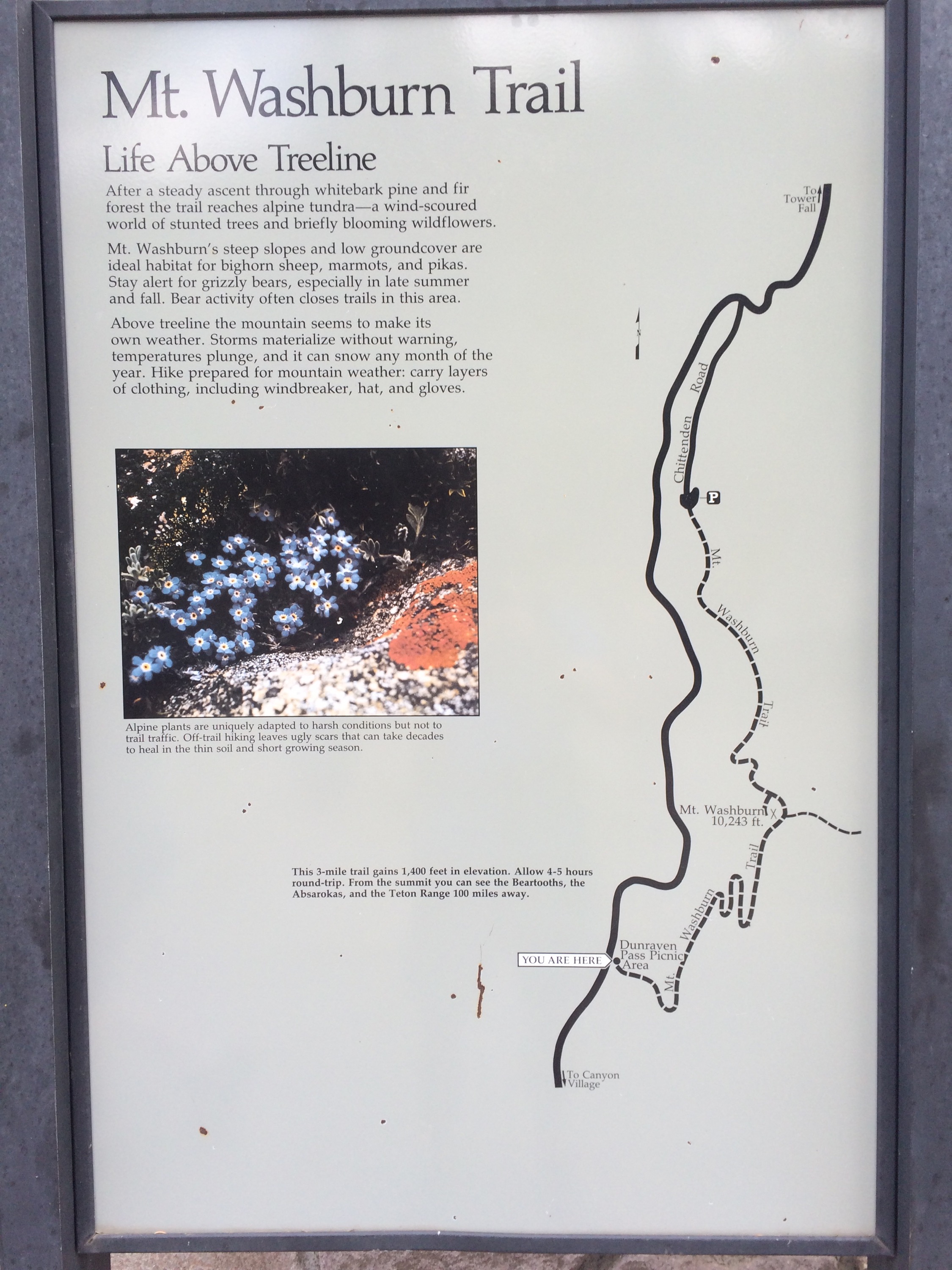
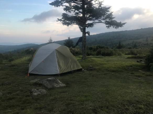
Kelly and I celebrated 25 years of marriage by heading to one of our favorite places, Grand Teton National Park. While we had wanted to backpack the Crest Trail, we were too early in the season. The park ranges had told us we’d need to carry ice axes and know how to self-arrest! We opted to do some canyon backpacking instead — in one canyon, then out to the next. We still want to go back to do the entire Crest trail some day — but now know that needs to be mid to late July to (very) early September!
We flew in to Jackson Hole and had a couple nights at a fantastic Bed & Breakfast, Teton View B&B. (When we landed in Jackso, the stewardess welcomed everyone there, but gave a special welcome to “Mr. and Mrs. Butler, celebrating 25 years…”) The hosts of the B&B Franz and Carole were extremely welcoming and have a lovely set up. They were especially helpful in finalizing our hiking and backpacking plans, which we would need to alter again based on input from the rangers as well, as to where snow was, etc.
I’ll just do a single photo mosaic below but walk you through what we did. After arrival at the B&B, we headed to Teton Village and took the Bridger gondola to the top, which is free after 5 p.m. We had a drink and a bite to eat, and then headed down to eat at the Mangy Moose.
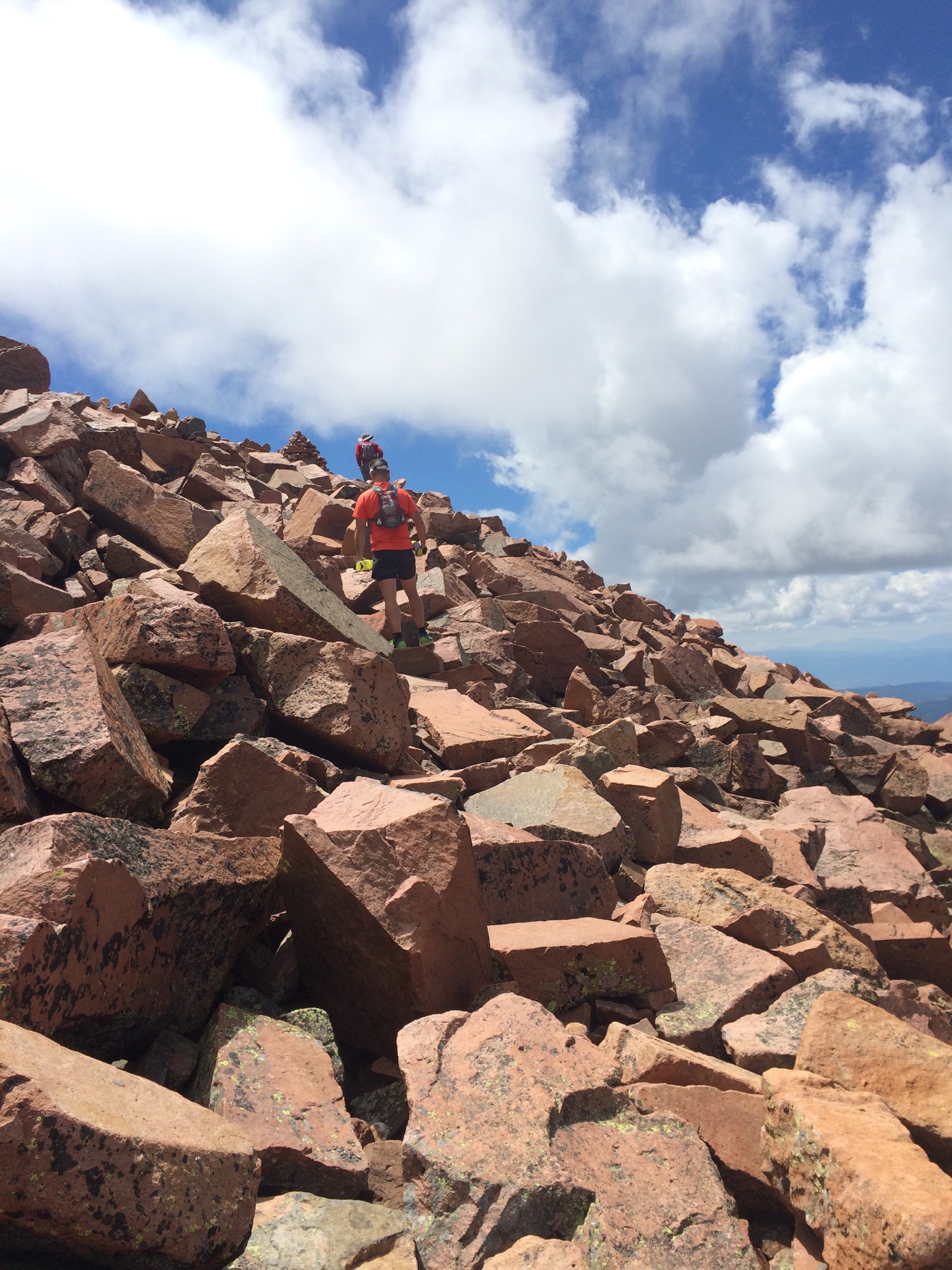
The next day, we decided to day hike Amphitheater Lake. We ended being turned back a little over 9000 feet, half mile short of the lakes, due to high snow. We didn’t need to take any chances with Kelly’s knee before we started backpacking! I did go one or two more switchbacks, but the trail wasn’t marked, and there was boot pack going in 2-3 different directions at each one, so decided it wasn’t worth it.
We headed back down and ended up at Trappers Grill at Signal Mountain Lodge, which has great deck seating and amazing views. We ordered Reece’s favorite from last time — the huge plat of Nacho’s.


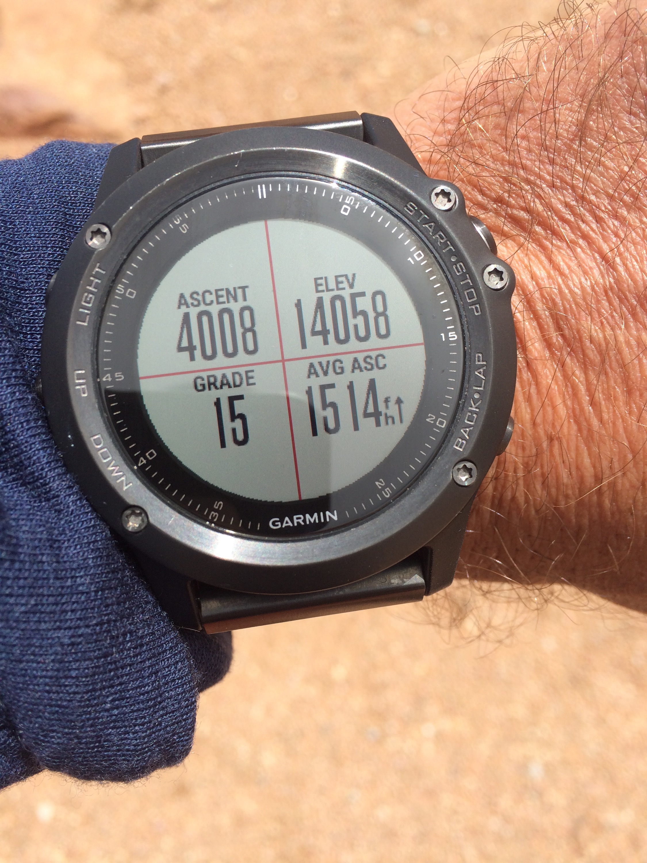
Here’s the Strava info for the Amphitheater Lake hike.


 The altar: