Pikes Peak via Crags and Devil’s Playground

When in Colorado in July or August, I always try to squeeze in a 14er…  I hadn’t done Pike’s yet, and hadn’t seen Gordo for two years since he paced me through Leadville…  We got a bit of a late start, as Ben was on call until 6 a.m. and had a call come in that kept him up until 2, but eventually we were on the road a little after 7, picked up Gordo a little after 8, and made it to the trail head around 9 a.m.

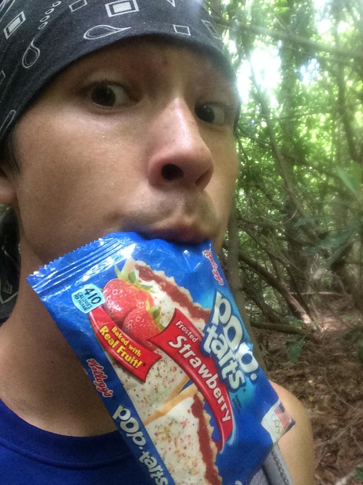
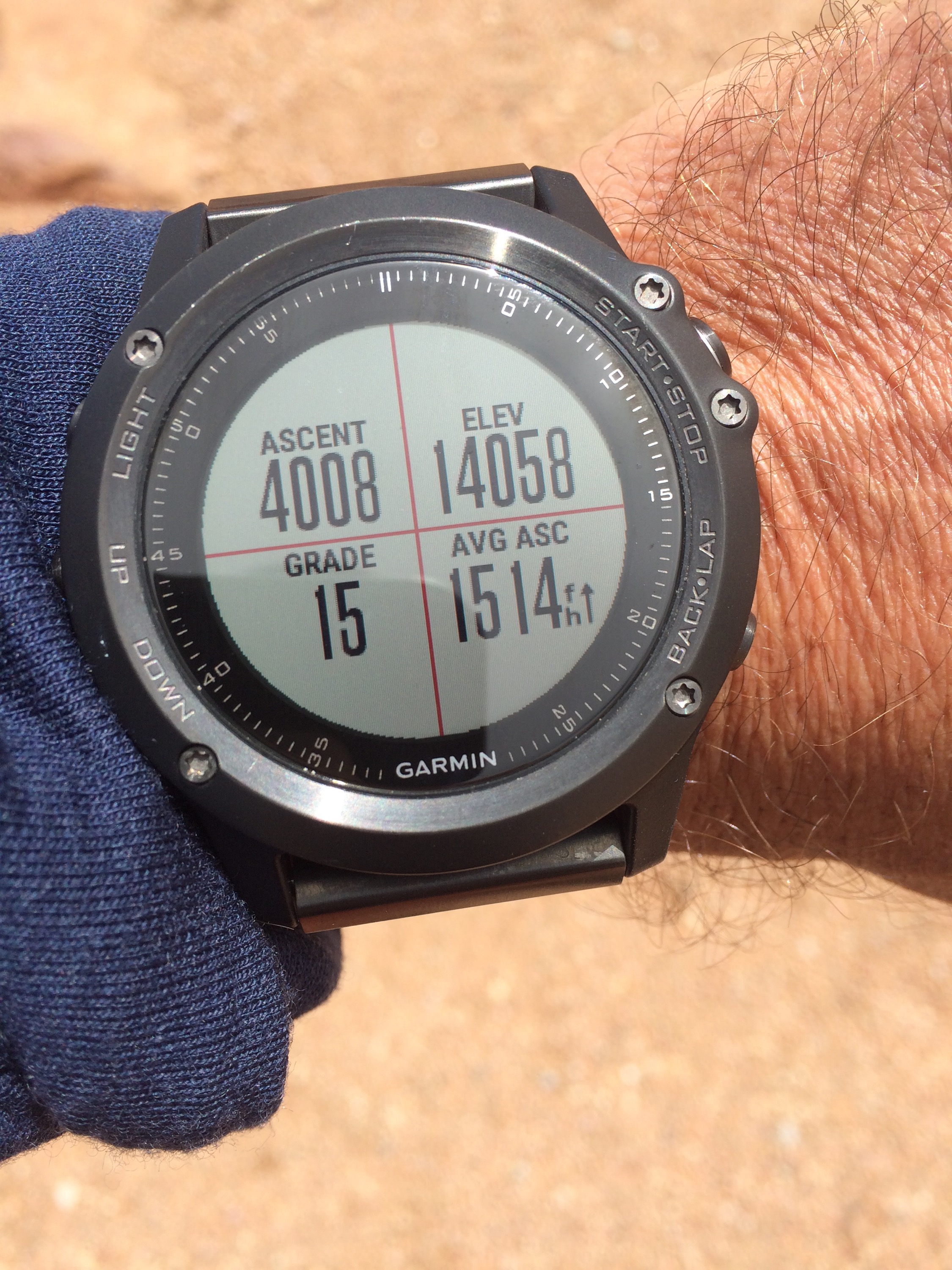
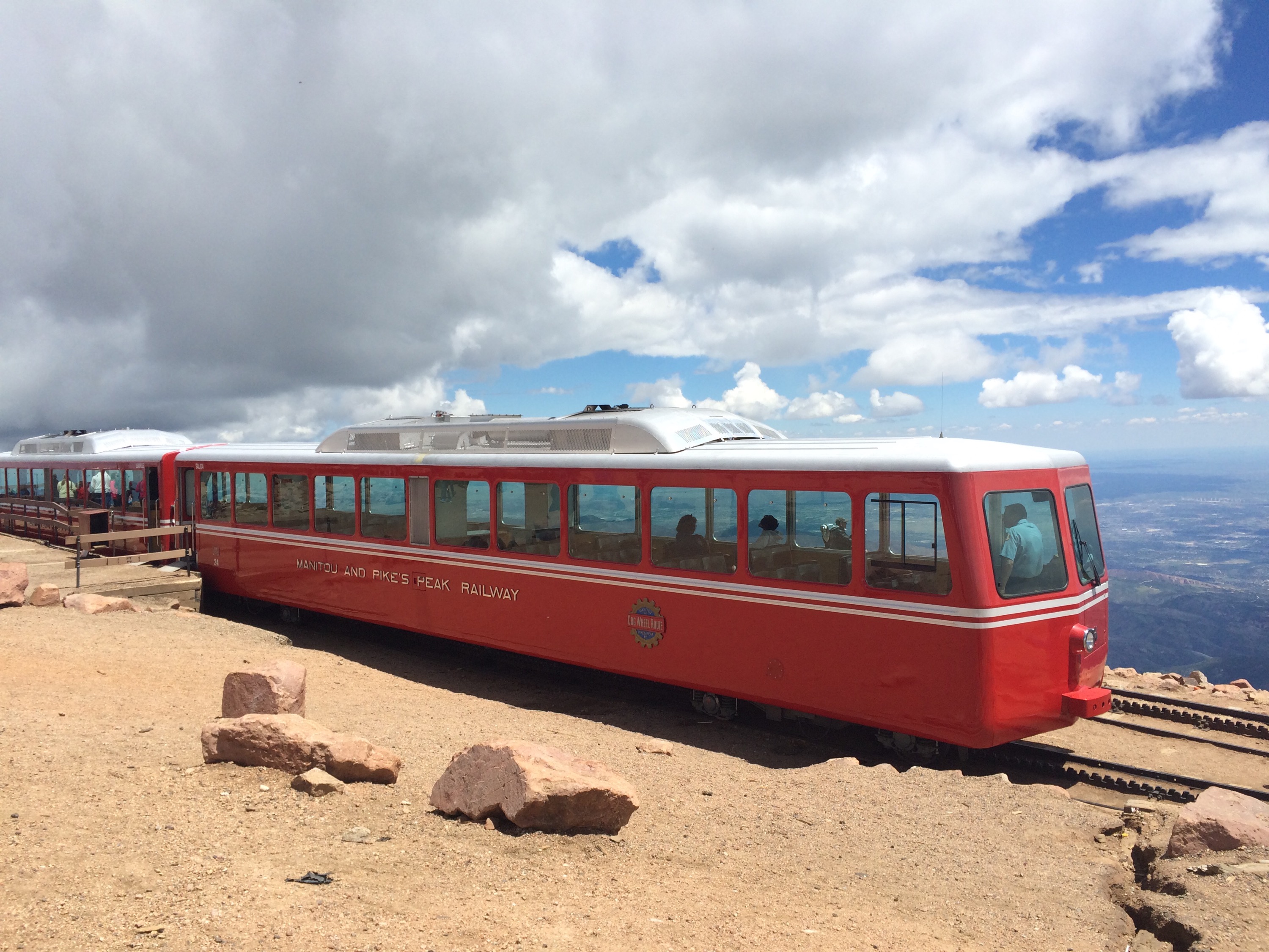
This was going to be stout — 4300′ in 7 miles up, then back down.  This just 2 days after the 20 miles Ben and I put in at an average of 11,000 ‘ over in Breck.  But there were donuts waiting at the top!  Pikes is one of those mountain summits that has a road to the top (as well as a train!), along with a gift shop, deli, etc.  But we heard the donuts were good and were determined to earn them the hard way!  🙂

(I did need to excuse myself from the mass crowd inside the building at the top — there’s something about big crowds in places like this that I get a bit agrophobic…  Big crowds in big cities or stadiums, etc., never bother me, and “phobic” isn’t really the right word…  But I guess there’s something I don’t care for about such close proximity to 500 or 1000 other people in settings like this.  :-/)

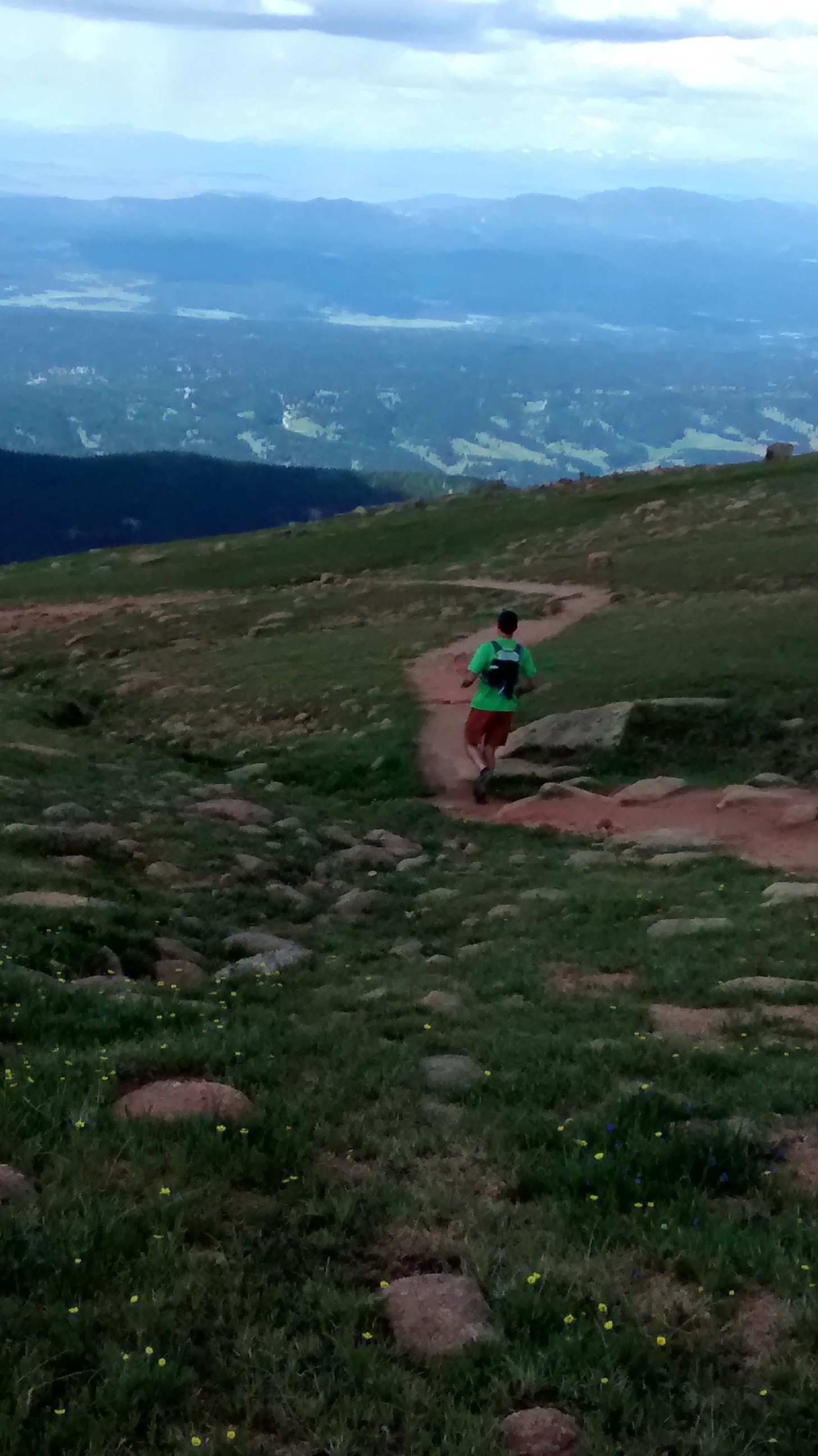
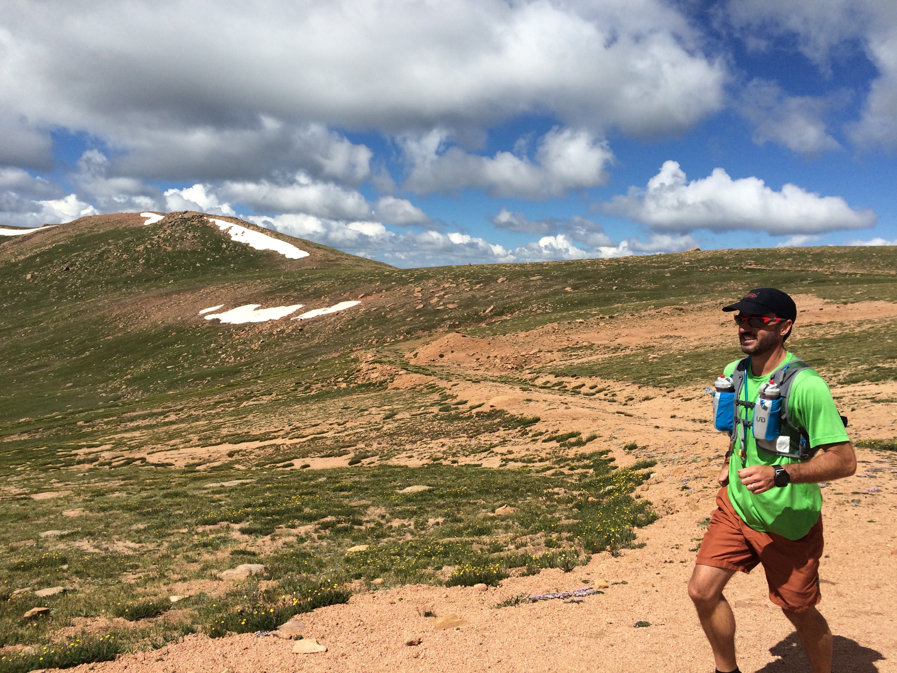
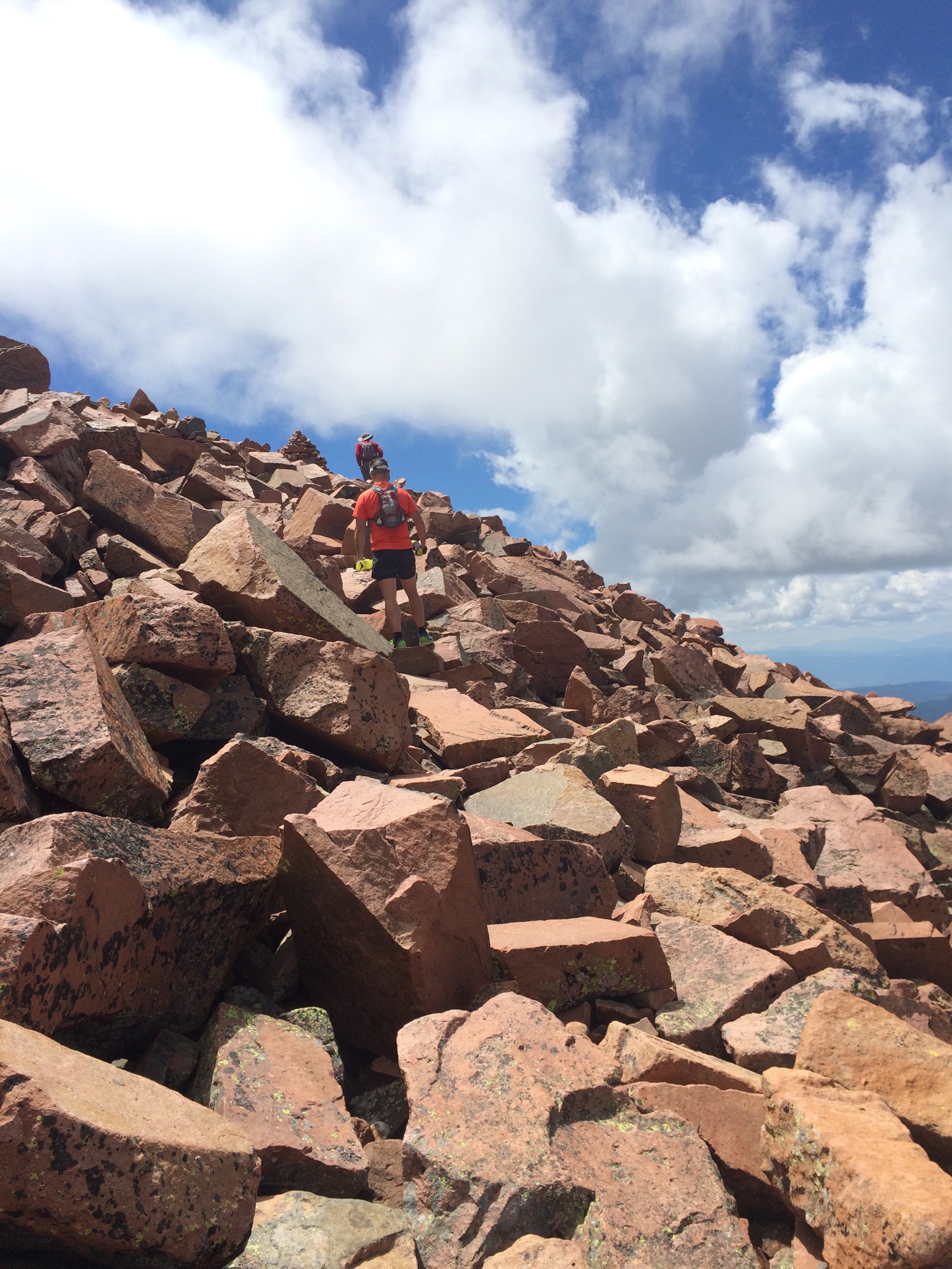
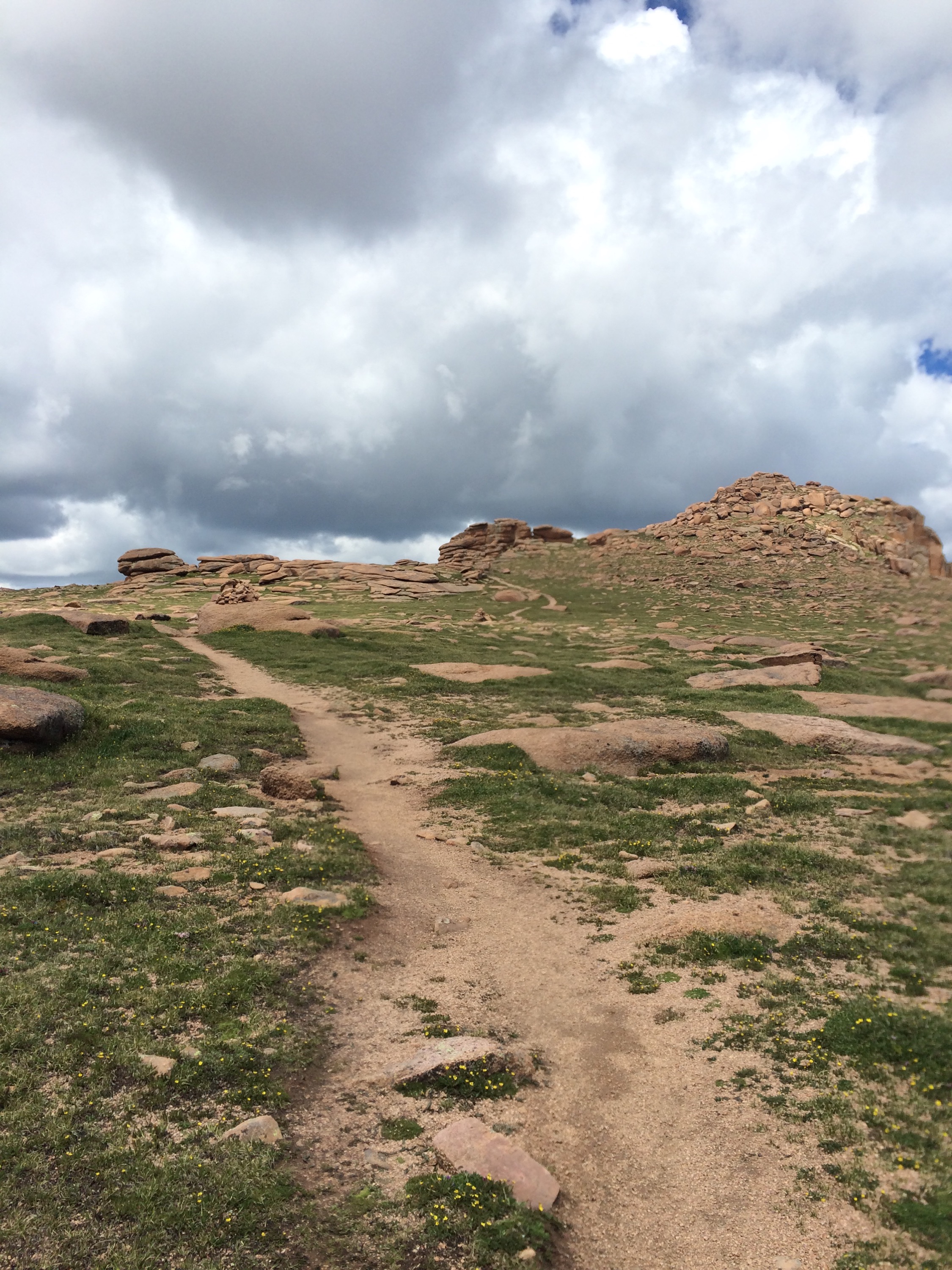
I’d have to say this was my strongest 14er to date…  I was feeling it on the 1st steep pitch up to 13,000’ or so, but there there’s a mile and a half flat/gradual ascent section before the final pitch, and that gave me a chance to recover.  The final pitch of all my prior 14ers have been a slog, but I felt pretty good on this one.  We arrived at the top roughly 30-45 minutes faster than I had expected!

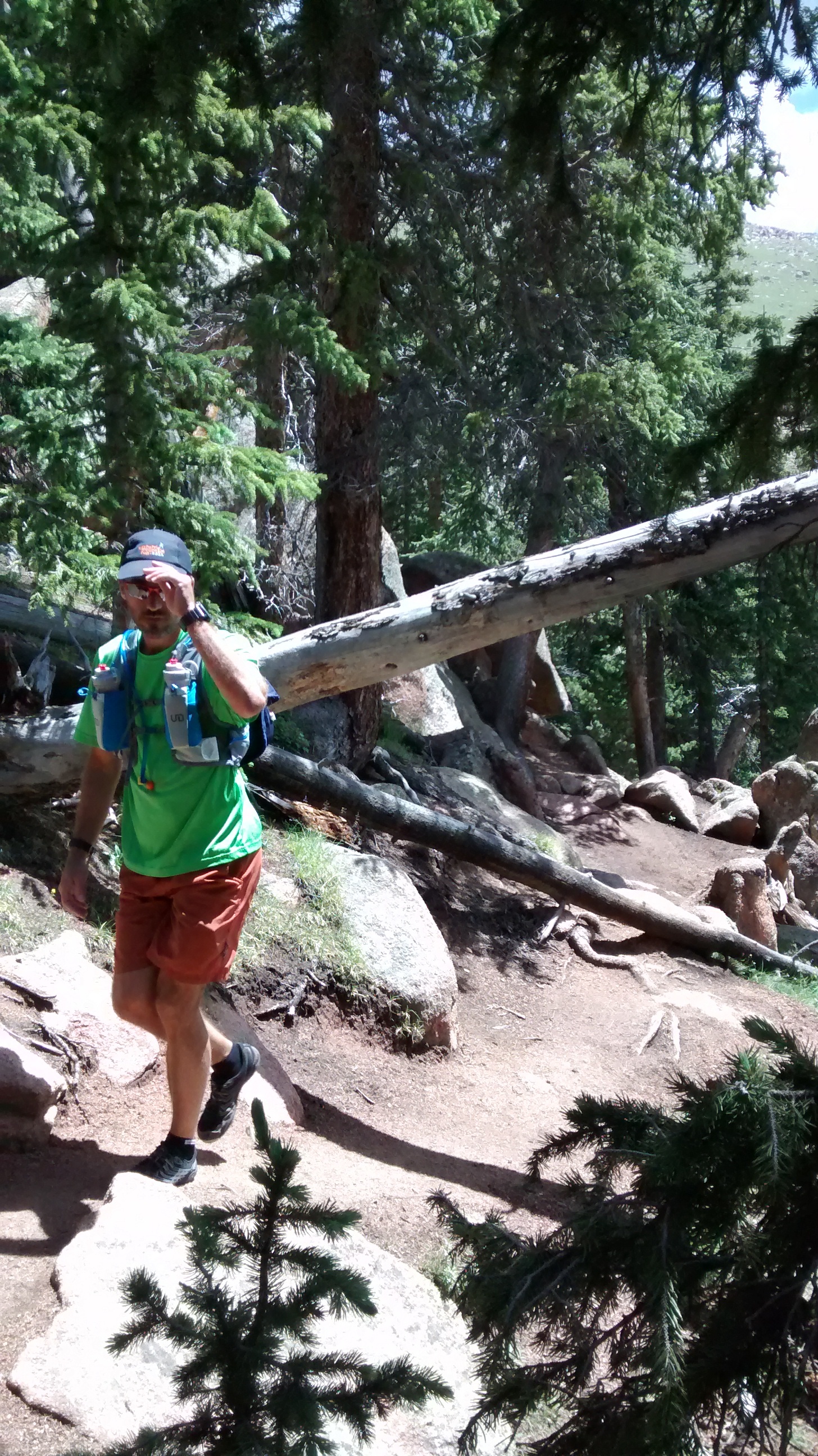
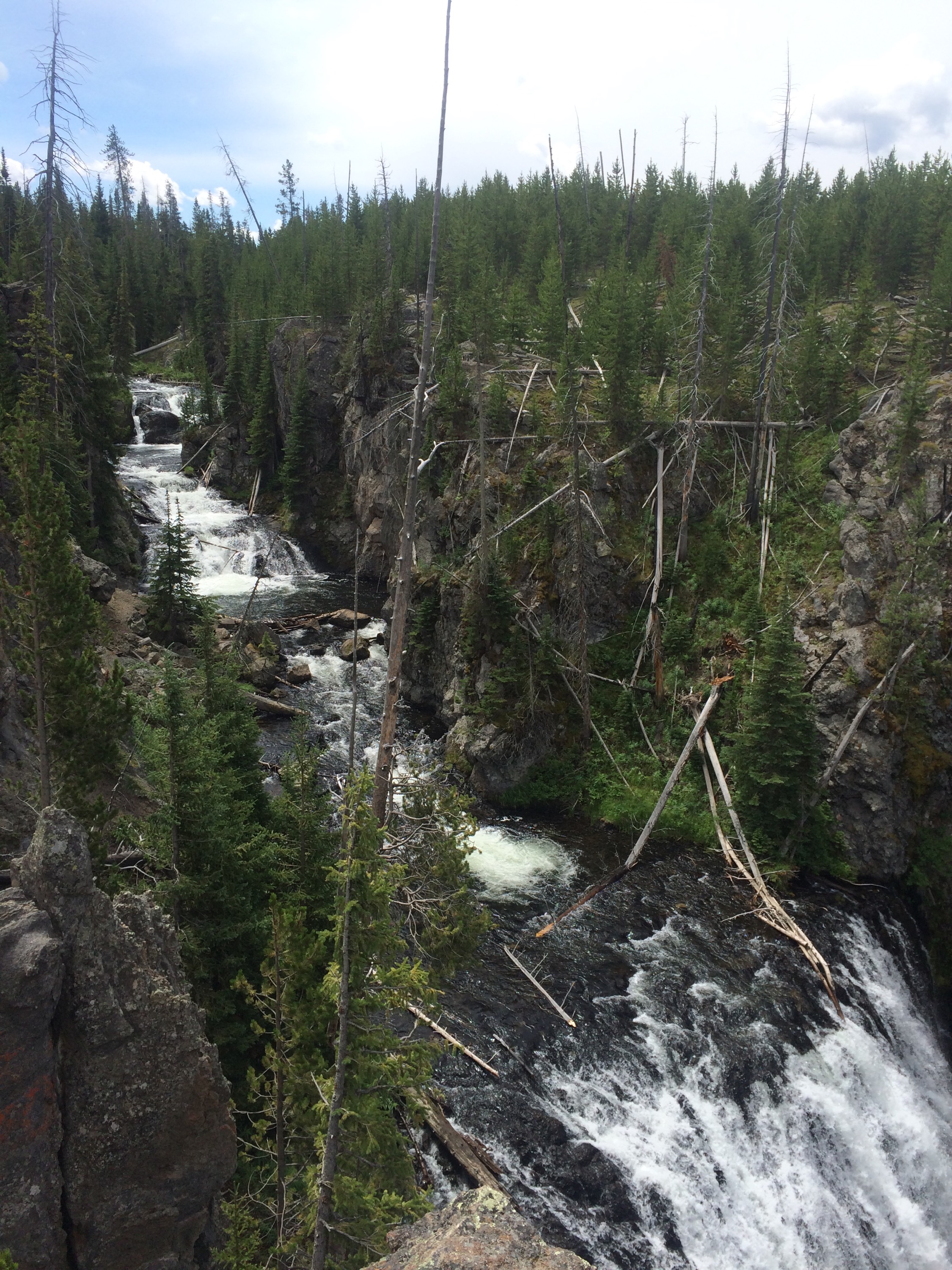
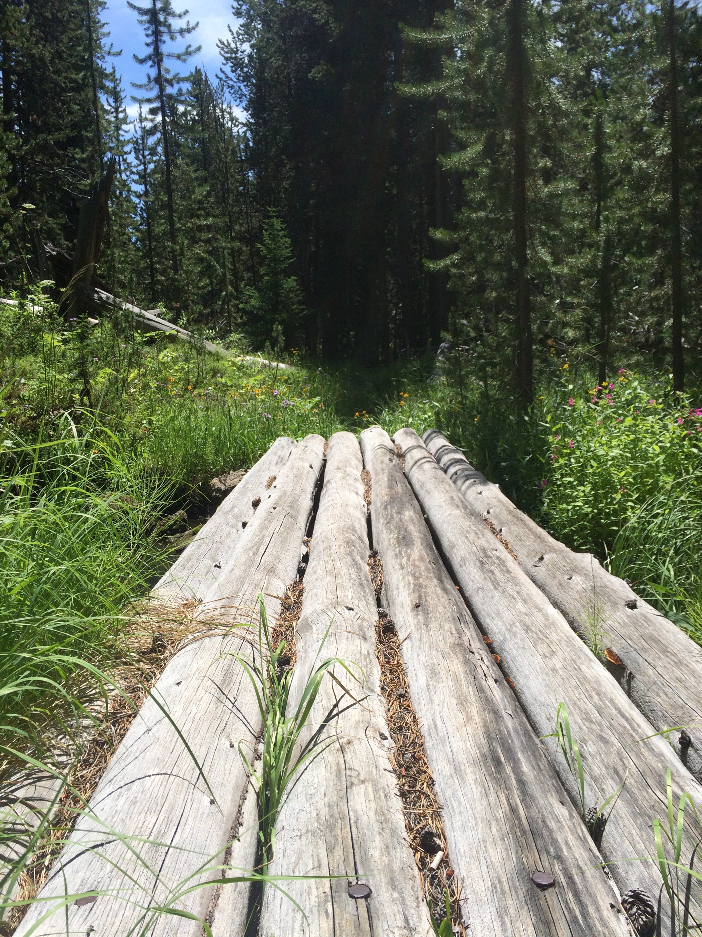
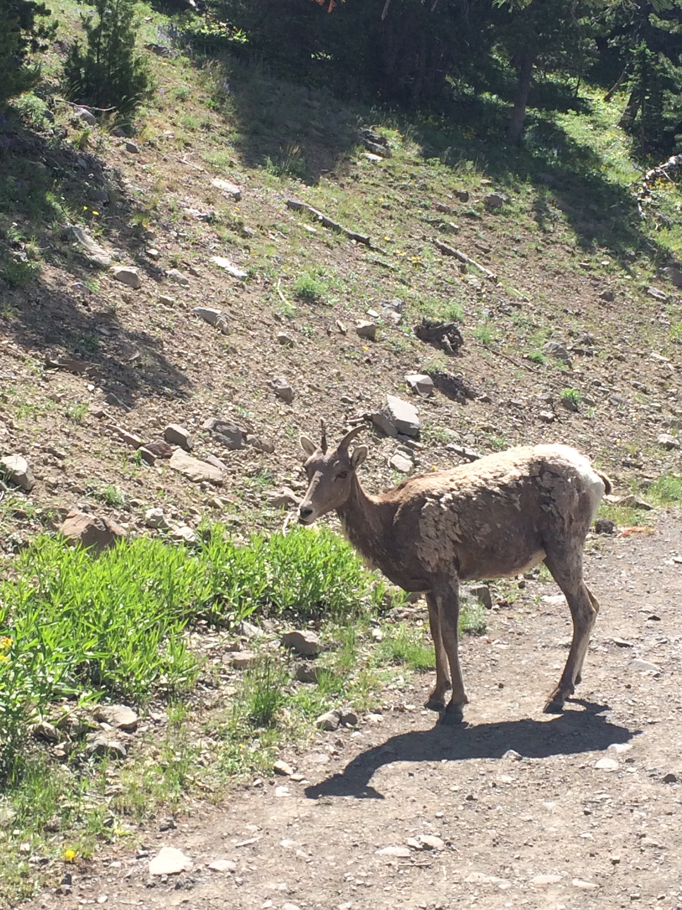
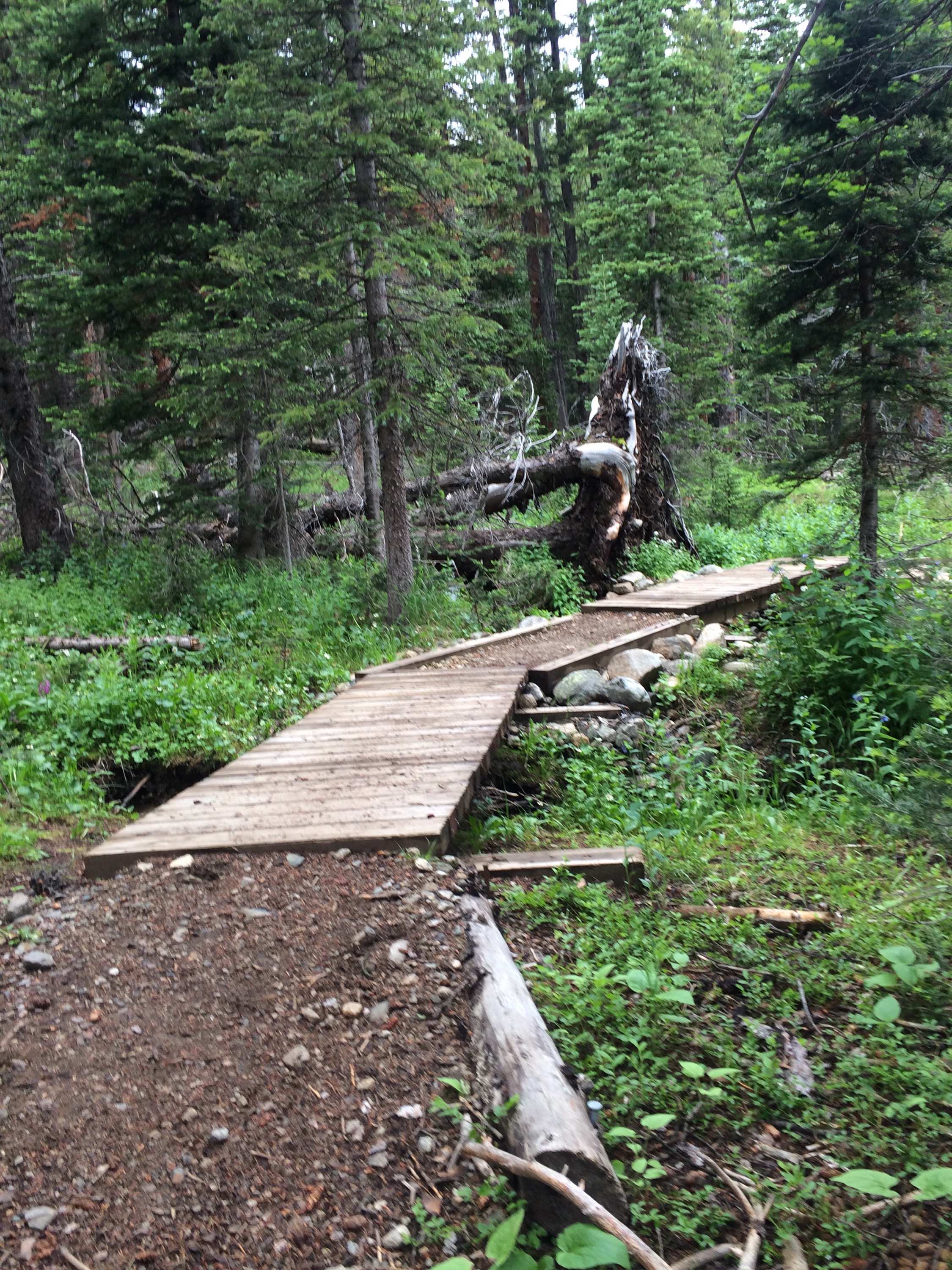
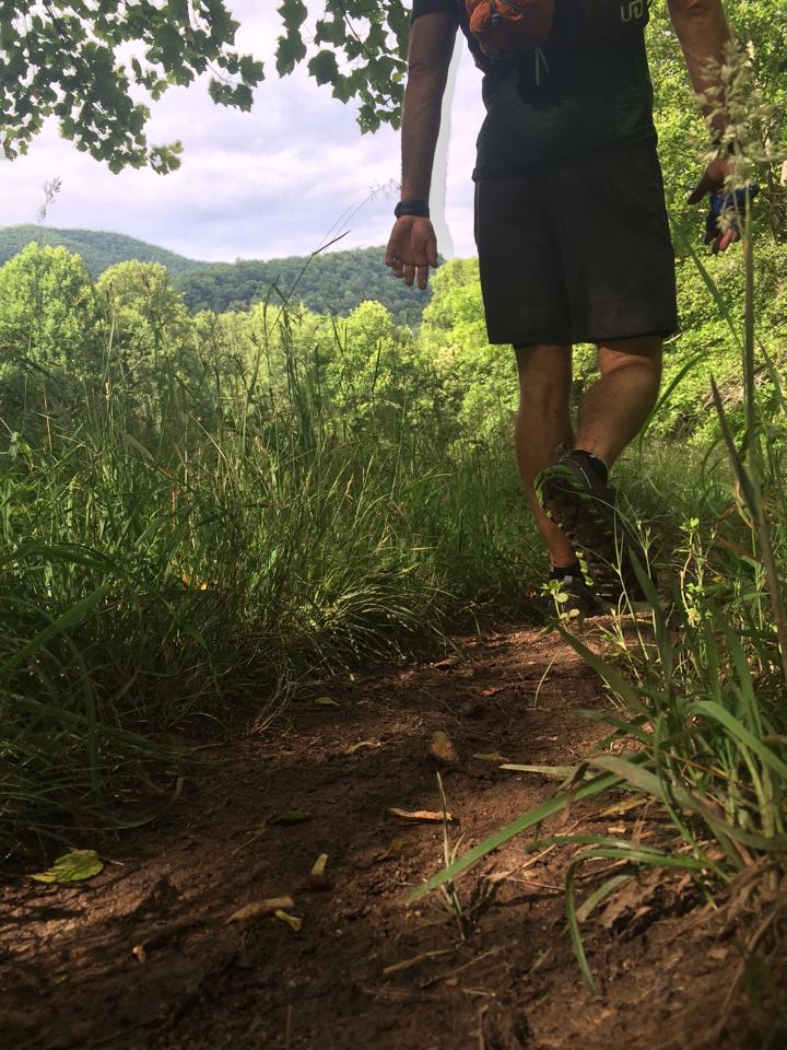
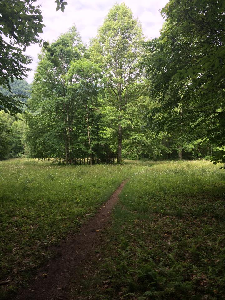
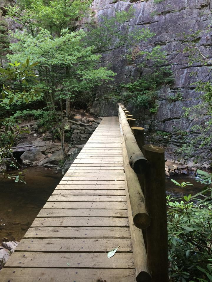
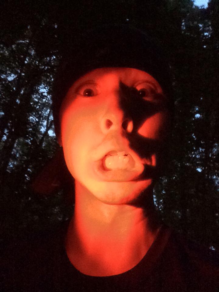
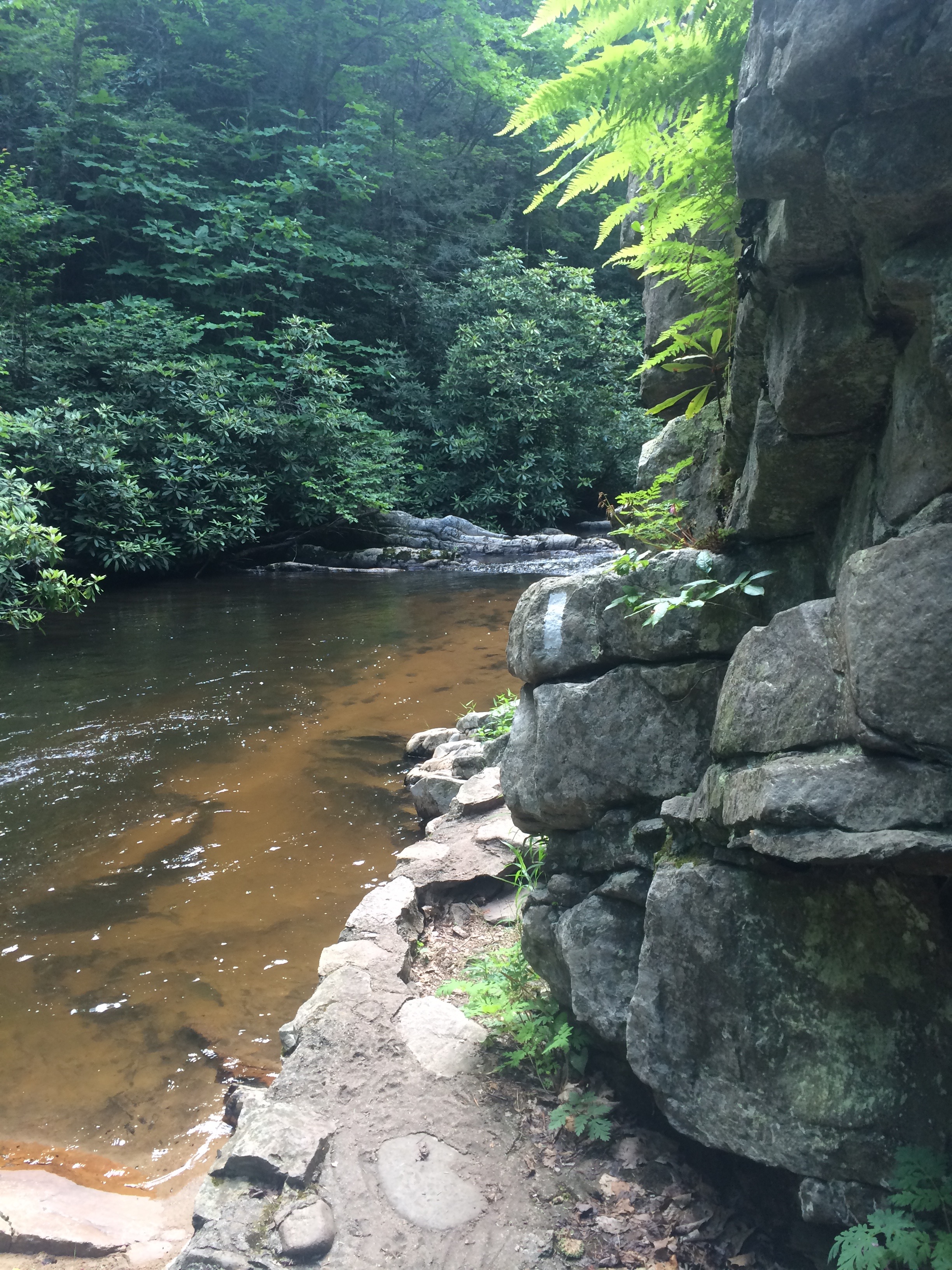
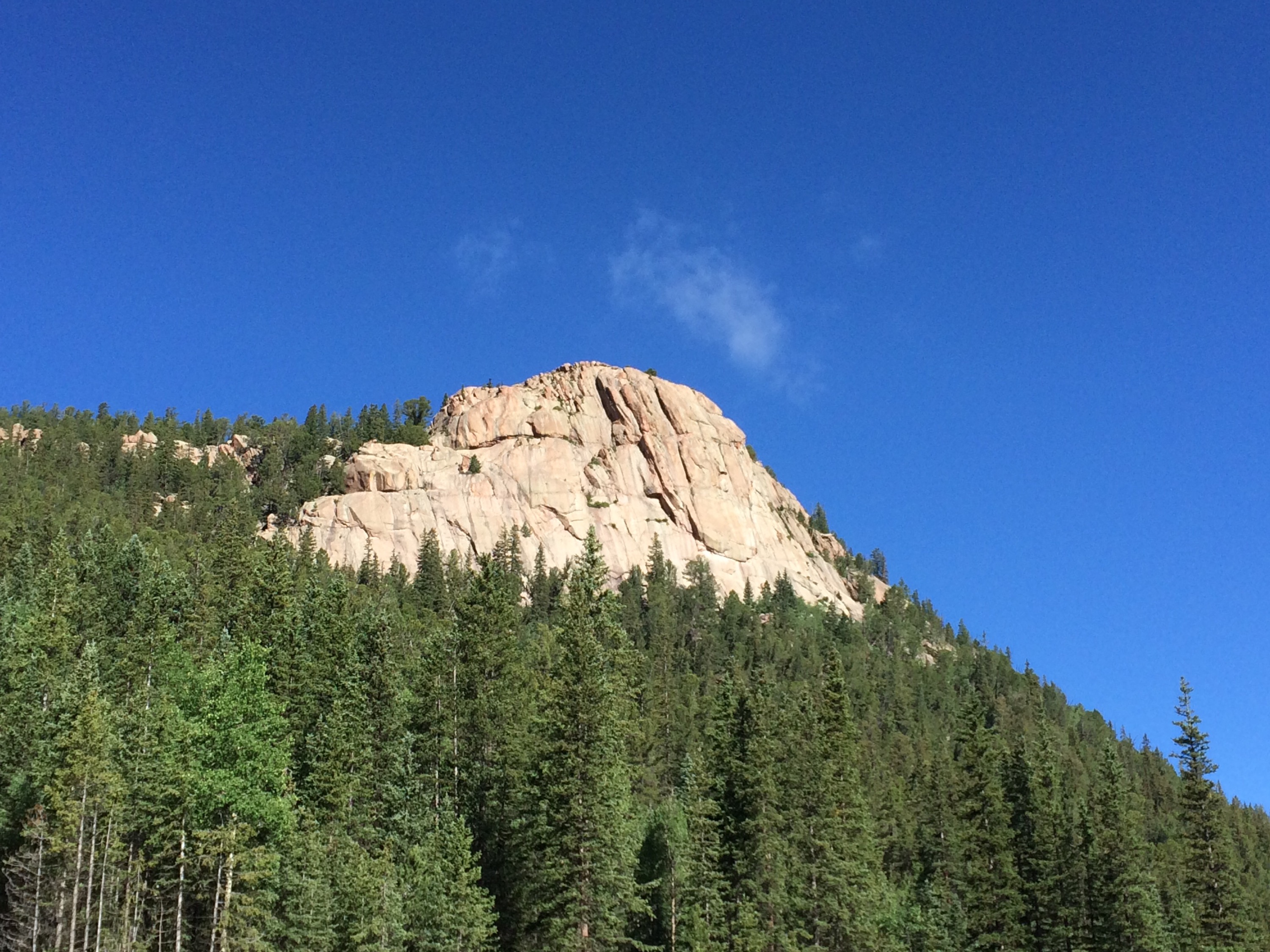
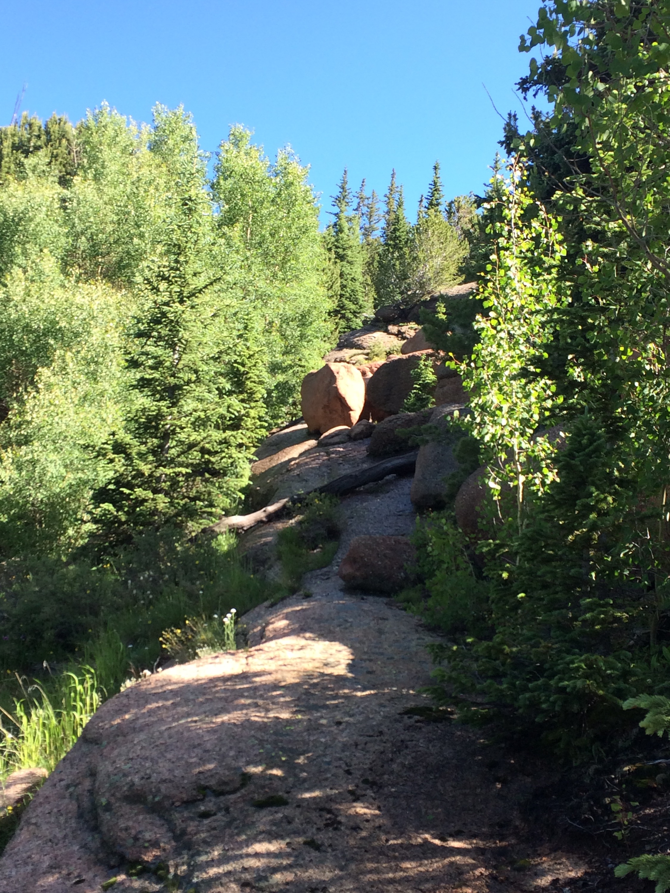
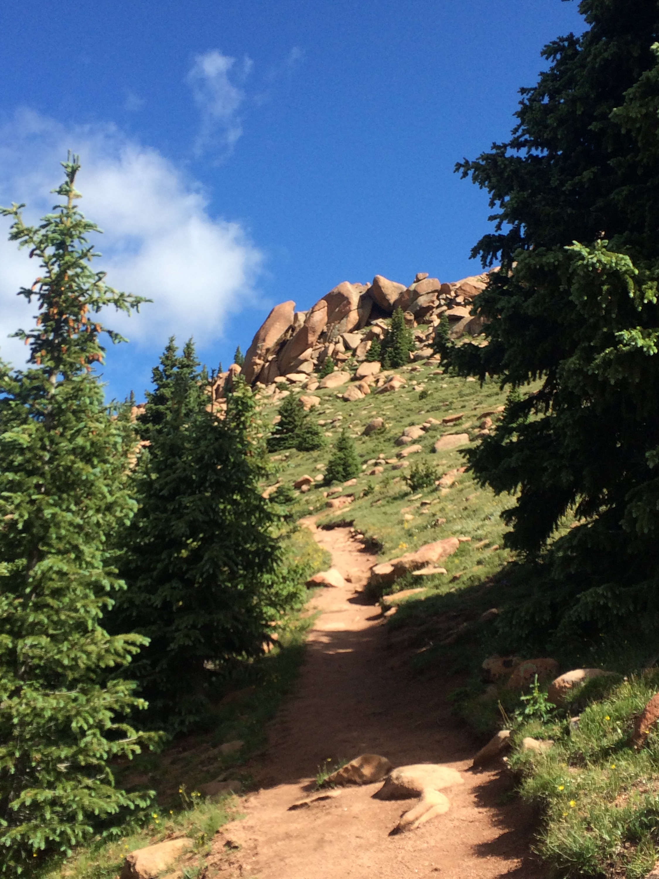
Lots of photos below:


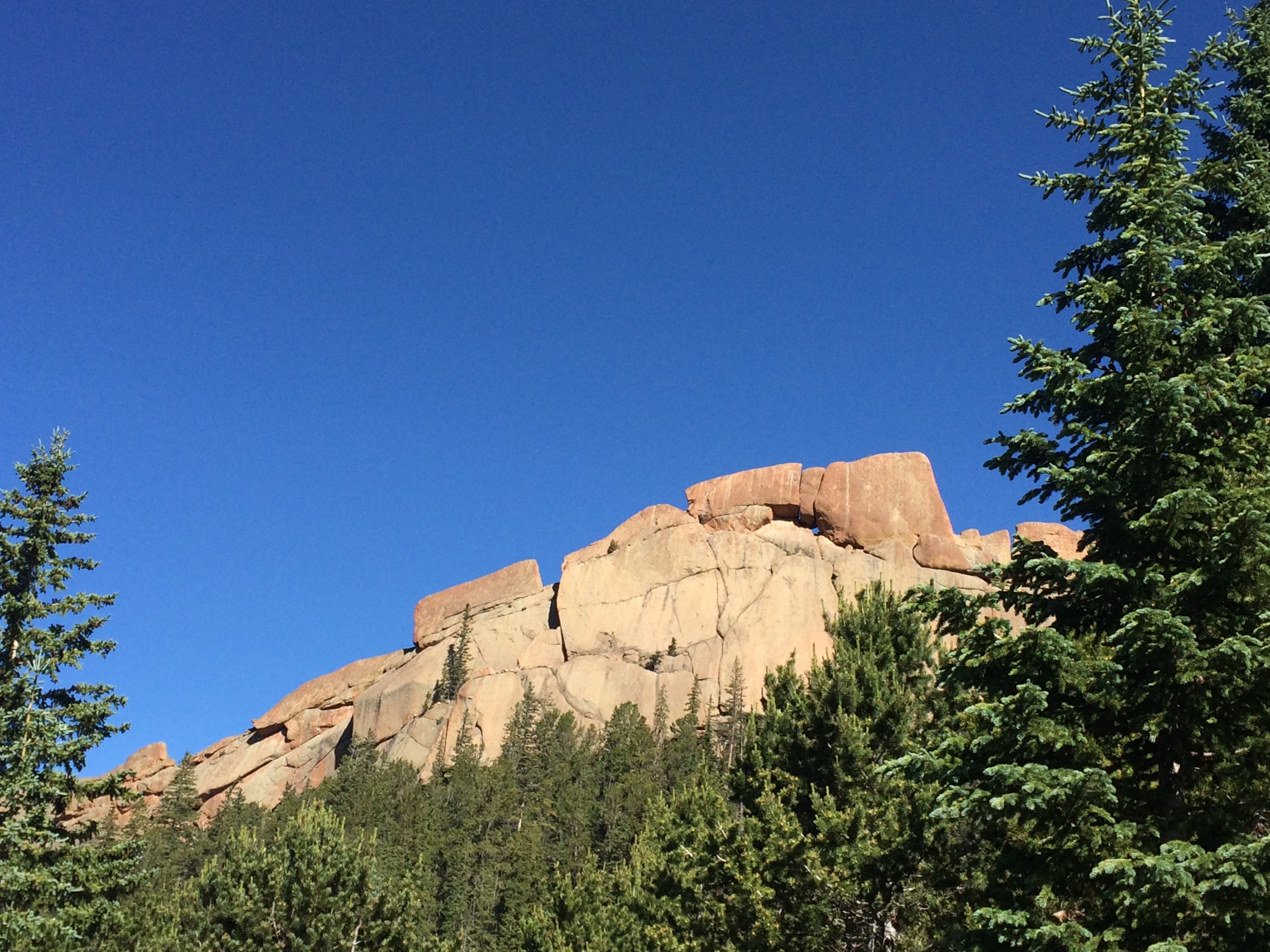
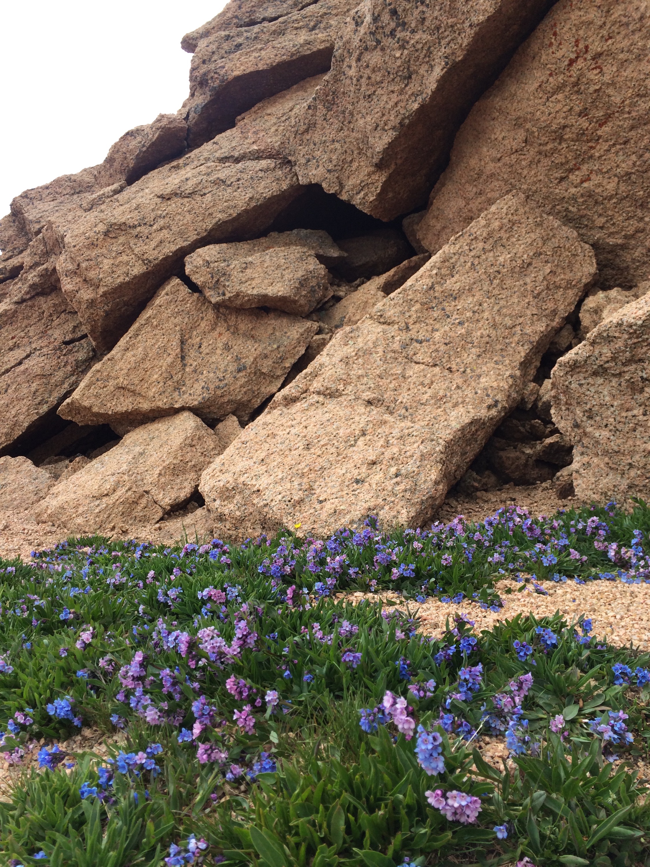
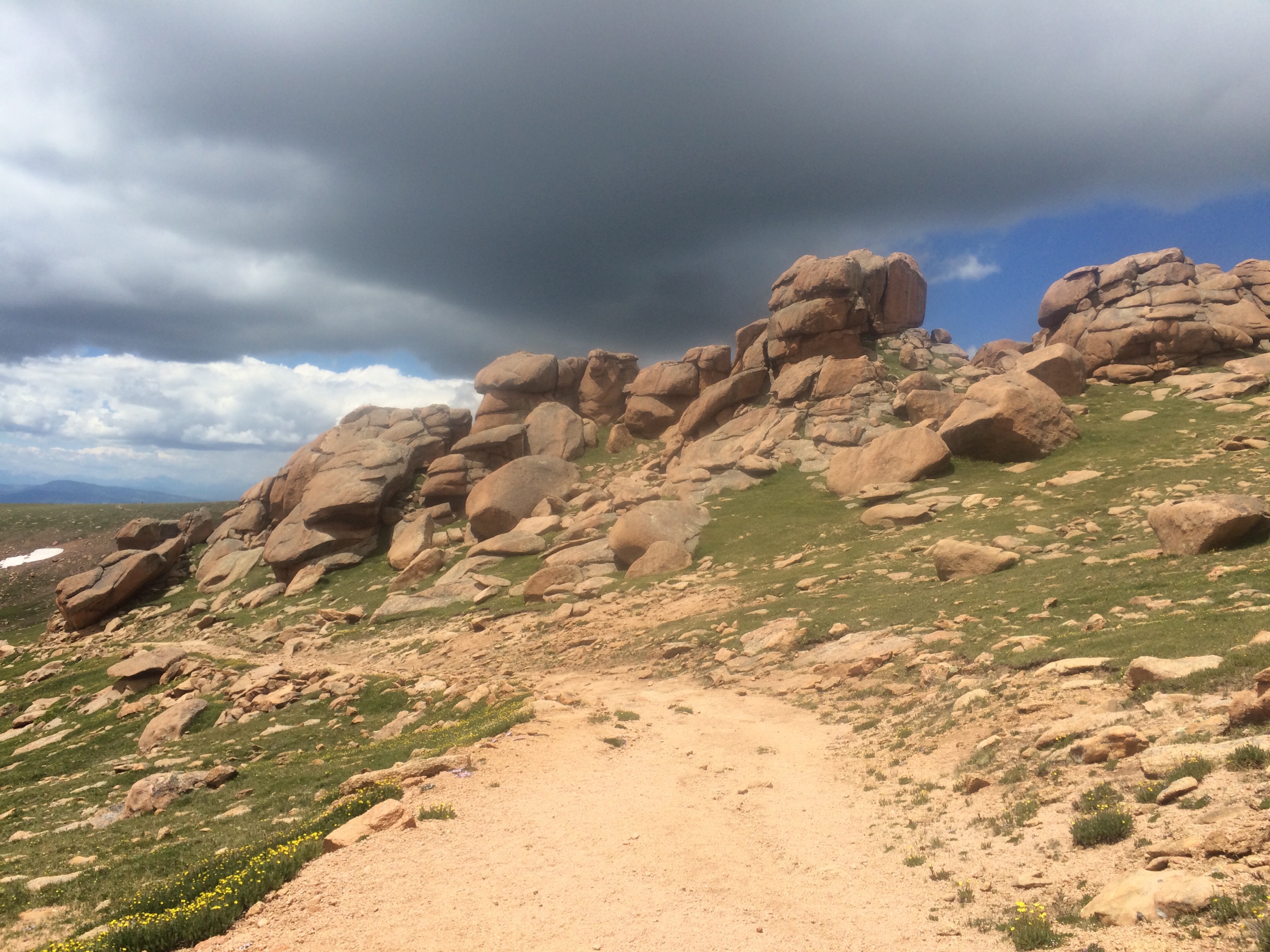
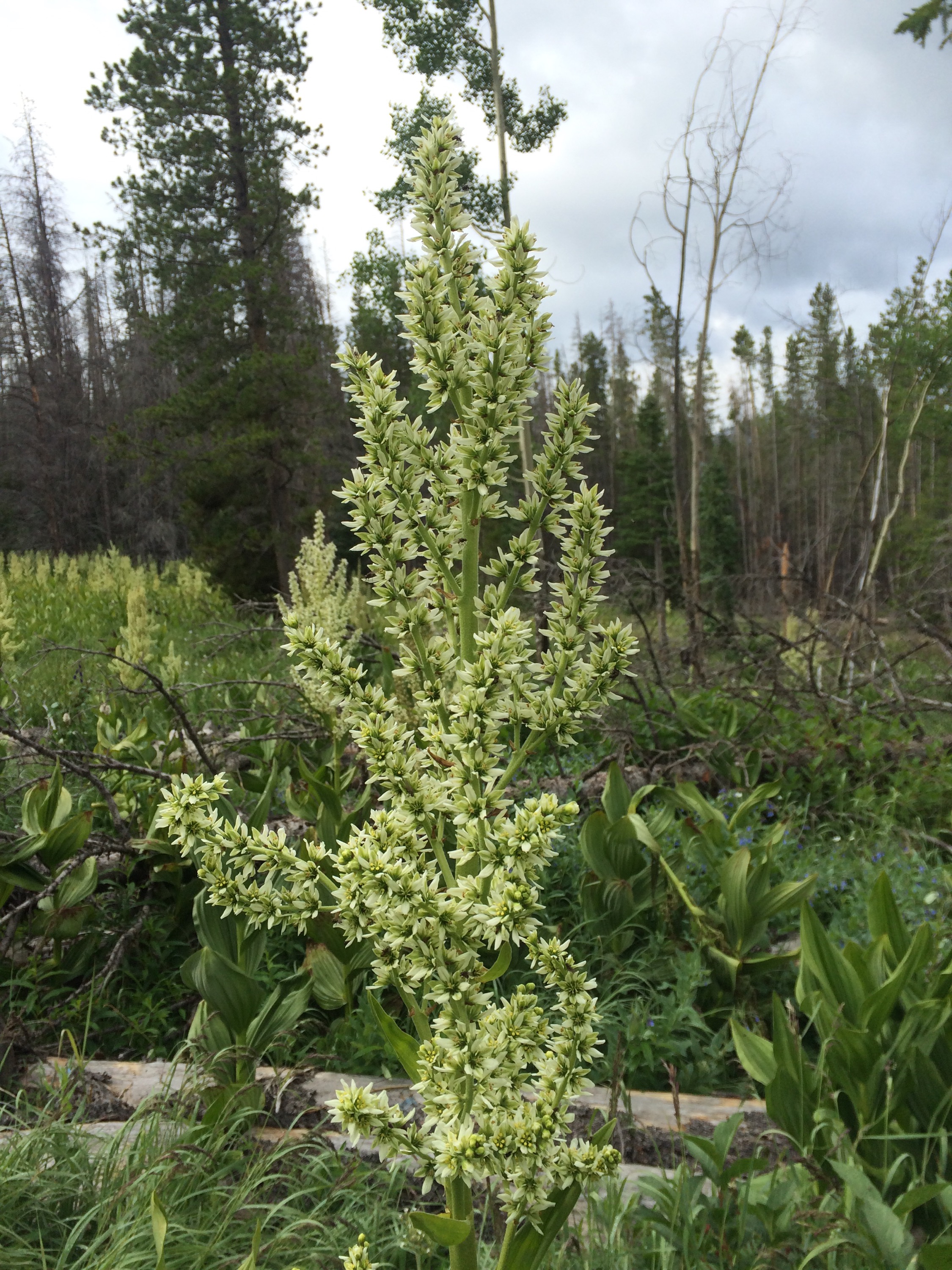
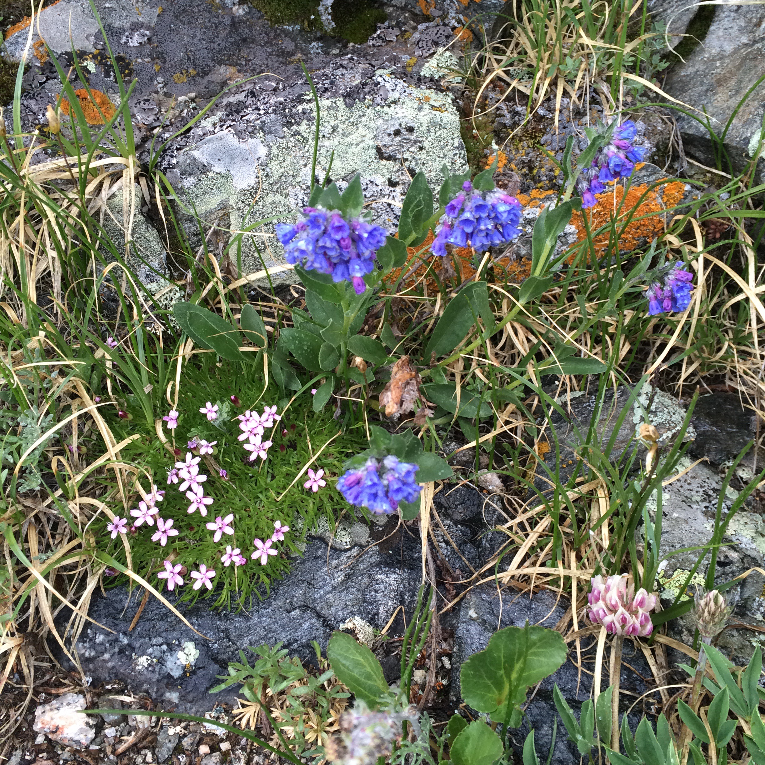
And some shots from Gordo:

IMG_20150722_100503071 IMG_20150722_111616249 IMG_20150722_115622169 IMG_20150722_131842497 IMG_20150722_132631976 IMG_20150722_132648158 IMG_20150722_134814448

Spring Creek Trail to Lone Star, Yellowstone

This was an almost disaster from the start, but it all worked out.  One of our guide books suggested taking Spring Creek Trail  to the Lone Star trail, rather than the Lone Star trail from Kepler Cascades, to shave off over a mile on the 5+ mile round trip.  R2 and I decided to run there to make it in time for a possible eruption of the geyser.  It was beautiful, but overgrown in many places — seems like this trail is not used much.  That was confirmed when R2 and I ran into a ranger who said he hadn’t expected to see anyone on that particular trail!

R2 and I continued on, but eventually I started thinking something was amiss…  We should have been to the trail intersection some time ago if the guide book was correct.  After an extra half to three quarters of a mile, I decided to turn back and find Kelly and R1.  When we met up a few minutes later, I decided to run forward and see if I could find the intersection.  It was roughly a half mile ahead, so we decided that Kelly and the kids would press on, I’d run back up the trail, get the car, and drive down to the main trail head.  I took off and made it a little over a mile before I realized I did not have the car keys — I had given my pack to R1 to reduce weight while running back.  So I turned around, ran back, and eventually met up with the family on the main trail, and walked in to the Geyser.  Somehow with all the extra time on the longer trail we made it!  We were treated to a good show, though perhaps not a full eruption, but still cool to see our 1st geyser.   

We decided I’d run the main trail back and hitch a ride to our car, so I took off.  Less than 5 minutes later, I realized I again did not have the keys!  Ugh!  So I ran back, then walked with the family a bit, before running a couple of miles to the trail head.  I had met a father-son hiking duo about .75 miles from the trail head, who said they’d give me a ride, but opted to run on to see if I could get a ride a bit quicker.  I got to the parking lot and was about to stick out my thumb, when the “Amazon Couple” we had met at the geyser and who rode  their bikes to their RV were pulling out, and let me hop in for the 3 – 4 mile ride back to the car.  (I call them the “Amazon Couple” because they are basically park hobo’s living out of an RV, but had worked at Amazon in over the winter to help fund their life style.)  

I got back in the rental car, drove to the main trail head, walked down the trail, until I met up with everyone.  We hiked out, and then drove down to Old Faithful, before heading up to the north of Yellowstone to our hotel for the 2nd half of our trip.

I ended up with roughly 9 miles of hiking and running, mostly running, all in my Luna’s, with terrain varying from a bit of paved path, single track, rocks, swamp/marsh, etc.


Mount Washburn, Yellowstone

This was a family hike of roughly 3.25 miles up with1500′ of gain to 10,200′, and then 3.25 miles back down the same trail.  I was able to sneak in a few hill sprints ranging from 30-120 seconds.  With a backpack full with all of our food and water, 2 minutes at 10,000 feet was tough!


Trail run on the Colorado Trail/CDT

Ben and I drove out towards Breckenridge and picked up this trail at 9000’+, and climbed (steeply!) up to 12,300, went down the back side a bit towards Copper Mountain, before returning to the car.  20 miles at an average of 11,000′, and I’m wondering how I possibly completed Leadville 100 two summers ago!  It didn’t help that I was in the very minimal Trail Glove 3 on these very rocky (and sharp rocks, at that!) trails!   I was very slow the last couple miles down as my feet were pretty beat up by that point.

Here are some of the photos I took.  As you can see, the wildflowers were amazing, there’s still snow up high, and the views, while somewhat obstructed by clouds/fog, were still amazing.


AT: US19E -> Damascus Run

On June 12th Sho Gray and I ran from US19E to Damascus, roughly 74 miles by trail distance, but more like 75 miles or more by the time we were done.  Not due to getting lost, but due to “side trips” to get water, back track a bit, etc.  I had estimated maybe 20-22 hours based on the elevation profile and from what through hikers had told me — namely that the last 30 miles into Damascus was “easy.”  Boy did I underestimate it!  It was a very difficult run that took over 25 hours to complete, had 15,000′ of climbing, and was filled with rocks and roots and mud most of the way.  Both Sho and I had moments of despair, but we persevered and made it through!  Here are photo’s from the trip…

First, the map from the GPS data: Screen Shot 2015-06-23 at 5.12.39 PM

Next, the elevation profile: Screen Shot 2015-07-01 at 4.25.02 PM And now just random photo’s Sho and I took along the way: 11289861_653365220273_477716749_n 11541296_653365250213_939594453_n 11541318_653365275163_2045145477_n 11637869_653365439833_950857036_n 11647317_653365429853_1157875560_n 11650466_653365320073_1523579652_n 11650666_653365225263_1299348017_n 11650761_653365030653_1015992070_n 11651311_653365409893_75085878_n 11652126_653365290133_325504724_n 11653477_653365160393_1481651955_n 11655529_653365364983_1754572062_n IMG_5108 IMG_5110 IMG_5111 IMG_5116 IMG_5119 IMG_5120 IMG_5128 IMG_5130 IMG_5132

Gear:

  • Ultimate Direction Scott Jurek pack – ripped across the top and I lost my Sawyer filter bag and maybe (?) some food…  UD is replacing the pack, and I still love it, though maybe a touch small for this distance/length of a run
  • Sawyer Squeeze Bag water filter system — will next time use the Sawyer mini filter in-line from the hydration pack to mouth piece, and a collapsable cup to  fill the hydration bladder.  The Sawyer squeeze bags are great when you have running water, but not so great when you have a small spring / puddle, which is what we had the 2nd half of the run.
  • Altra Superior 2.0 — my 1st pair ripped in the toebox and this was a brand new pair, never worn before.  Had a bit of a hot spot the 1st day but overall this shoe was still great, considering it was brand new.
  • Nike combat compression – still happy with these after moving on from under armour.
  • Petzl Tikka RXP headlight – love this light.  One charge lasted all night.
  • Fenix PD32UE – super bright hand held helpful for finding the trail in some areas when it’s not always obvious.
  • Icebreaker bodyfit 200 top — got some terrible chaffing between this and the pack.  Had never chaffed in this shirt before, but had not worn it with the SJ pack.
  • Icebreaker 200 hoodie — ended up wearing this at night and taking off the body fit due to chaffing, and it got me through.
  • Injinji toe socks – awesome as always.
  • Buff – never leave home without it…
  • Had a knife, black trash bag,  and a rope for emergency purposes — ended up using the rope to tie my pack together once the top ripped so badly.
  • Food:  Started with Ucan super starch in the bottles and a bit of gatorade for flavor (it’s all the shop at the hostel at the start had…).   Epic bison bars.  Vfuels.  One pack of pop tarts, one pack of peanuts.  Was really low on food the last 5 hours, but I’m not sure if I lost some food due to the torn pack or if I just had the perfect amount to get through to the end….
  • Water:  gathered along the way from water falls, streams, and springs.